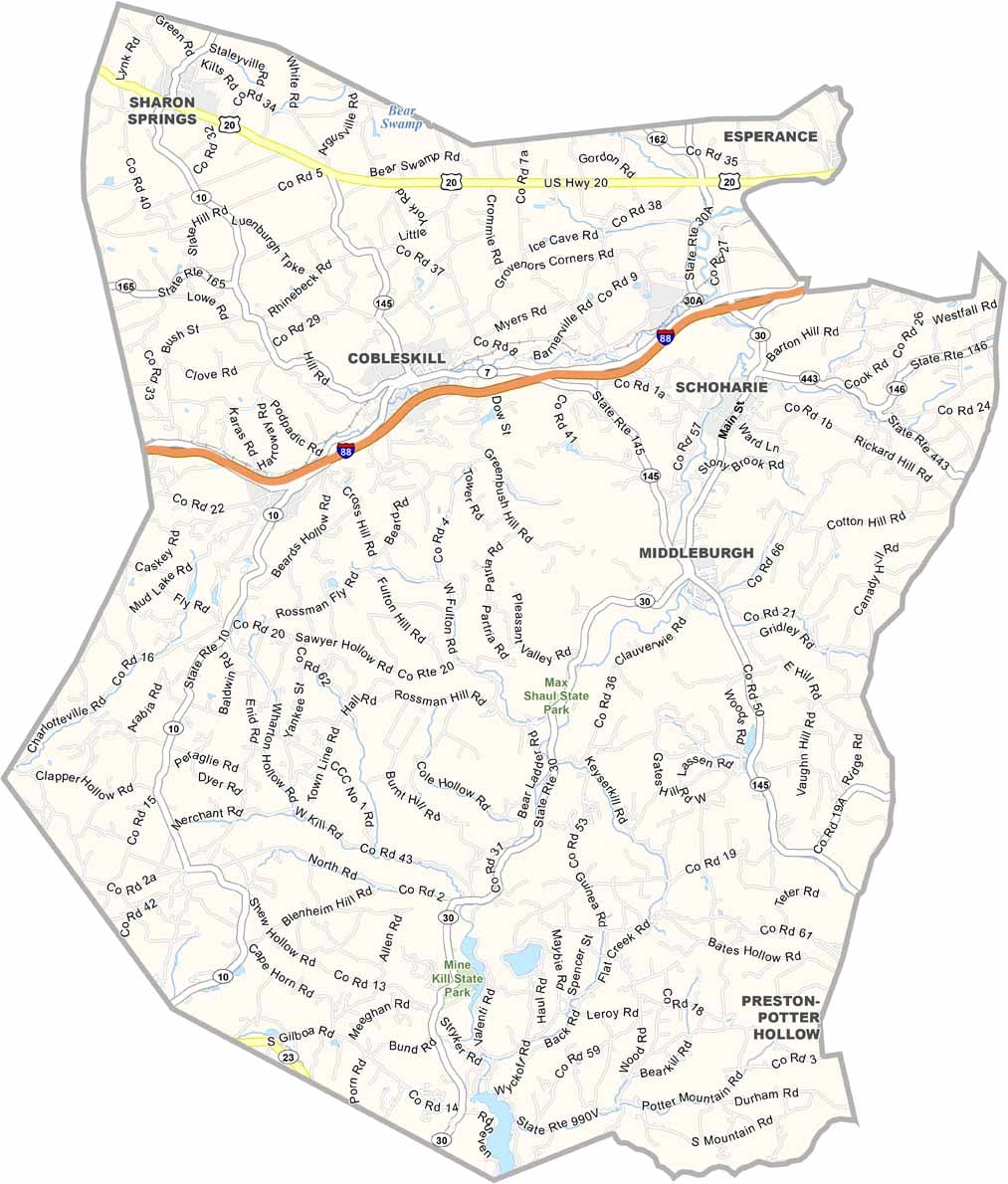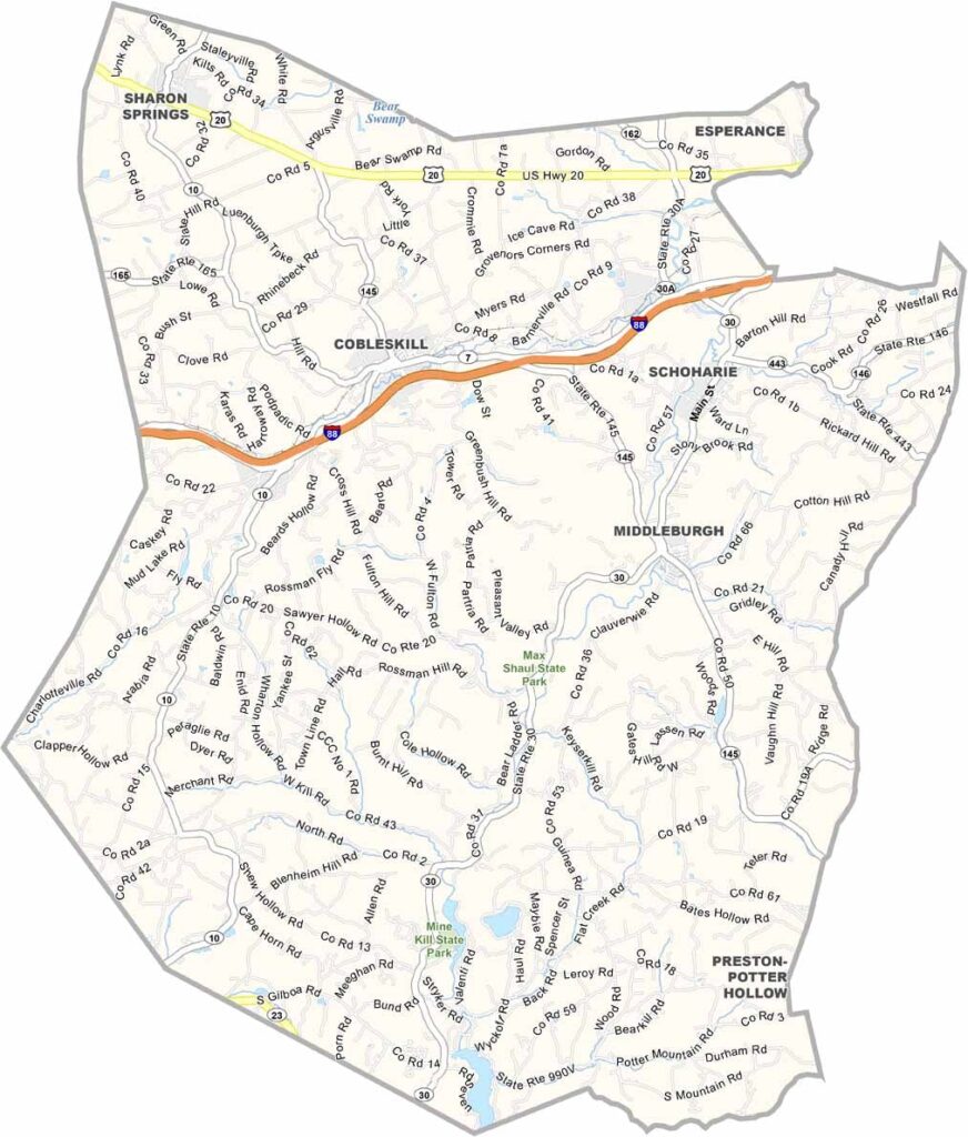
Schoharie County Map, New York

Schoharie County, New York

Schoharie County sits in east-central New York, just west of Albany. It flies under the radar, but that's part of its charm. The Schoharie Valley is beautiful, especially in fall, and the farmers here know their stuff.

The county has caves for days. Howe Caverns is the famous one, but Secret Caverns is pretty cool too. There's some wild history as well. Ever heard of the Old Stone Fort? It survived a British and Iroquois raid during the Revolution.

Locals love hiking Vroman's Nose, where the view from the top is insane. Schoharie is pretty quiet most of the year, but come fall, it's all about harvest festivals and pumpkin everything. Winters are no joke here, but that just means great skiing at Plattekill Mountain.
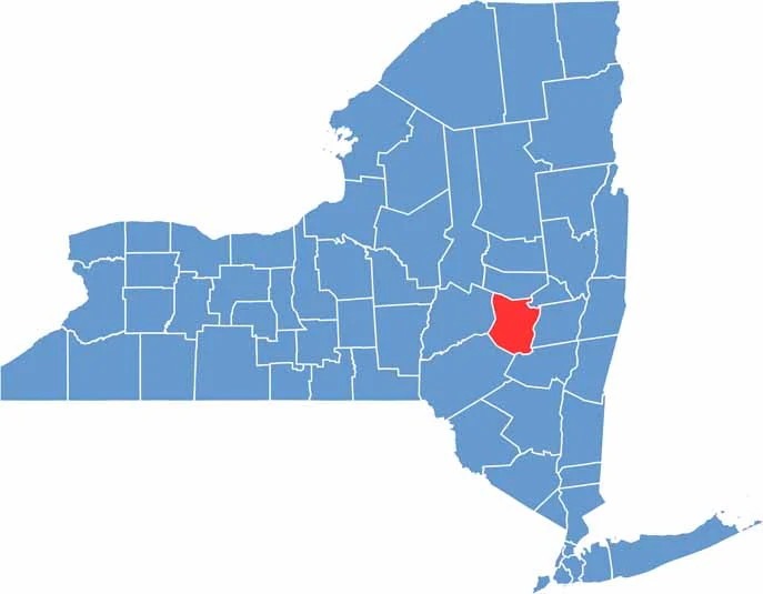

Schoharie County location map of New York
CategoryDetails
County NameSchoharie County
County SeatSchoharie
EtymologyNamed after a Mohawk word meaning “floating driftwood”
Cities, Towns, and CommunitiesSchoharie, Cobleskill, Middleburgh, Esperance, Richmondville
Interstates and HighwaysNew York State Route 7, New York State Route 30, New York State Route 145
FIPS Code36-095
Total Area (Land and Water)622 square miles (613 sq mi land, 9 sq mi water)
Adjacent Counties (and Direction)Albany County (East), Delaware County (Southwest), Greene County (Southeast), Montgomery County (North), Otsego County (West), Schenectady County (Northeast)
Time ZoneEastern Time Zone (ET)
StateNew York
Coordinates42.5117° N, 74.3242° W
Major LandmarksHowe Caverns, Central Bridge, Schoharie Crossing State Historic Site
PopulationApproximately 30,000
Scroll to Top