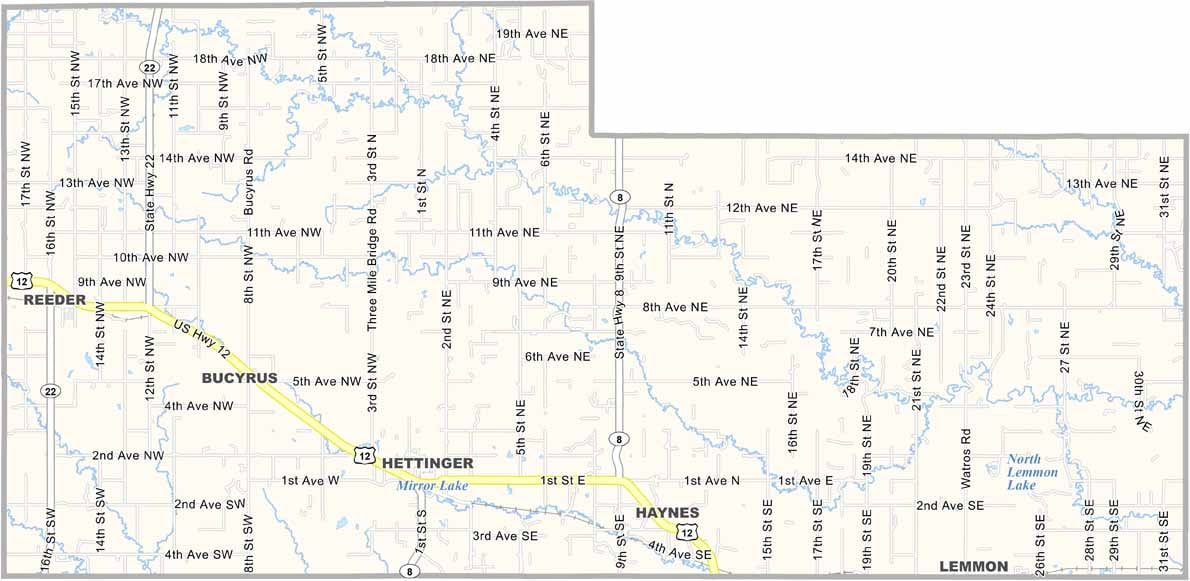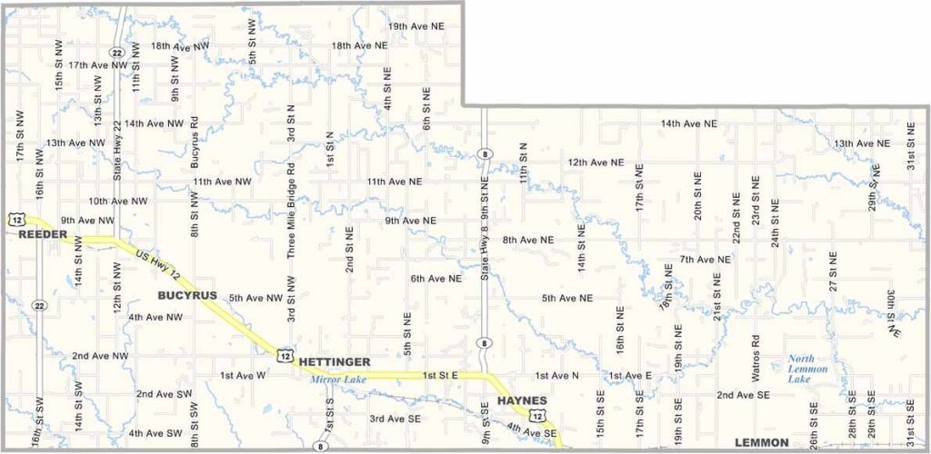
Adams County Map, North Dakota

Adams County, North Dakota

Adams County sits in the southwestern corner of North Dakota, where the prairie meets the Badlands. Hettinger, the county seat, is the hub of activity here.

Ranching is big business, and you'll see cattle grazing on vast stretches of grassland. The county has a rich history that dates back to its founding in 1907.

Locals are proud of their heritage and celebrate it at the Dakota Buttes Museum in Hettinger. Buttes and rolling hills cover the landscape, which is beautiful in its own rugged way, and there are hunting and fishing opportunities as well.
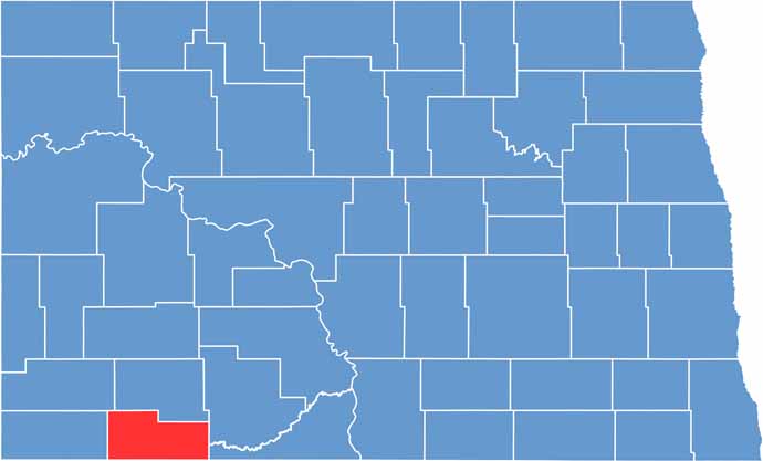
Adams County location map of North Dakota
CategoryDetails
County NameAdams County
County SeatHettinger
EtymologyNamed after John Quincy Adams, a railroad agent
Cities, Towns, and CommunitiesHettinger, Bowman, Scranton, Reeder
Interstates and HighwaysNorth Dakota Highway 12, North Dakota Highway 22
FIPS Code38-001
Total Area (Land and Water)1,276 square miles (land and water)
Adjacent Counties (and Direction)Hettinger County (North), Grant County (Northeast), Sioux County (East), Corson County, South Dakota (Southeast), Perkins County, South Dakota (South), Harding County, South Dakota (Southwest), Bowman County (West), Slope County (Northwest)
Time ZoneMountain Time Zone
StateNorth Dakota
Coordinates46.0075° N, 102.3936° W
Major LandmarksLittle Missouri National Grassland, Adams County Courthouse
PopulationApproximately 2,400
Scroll to Top