
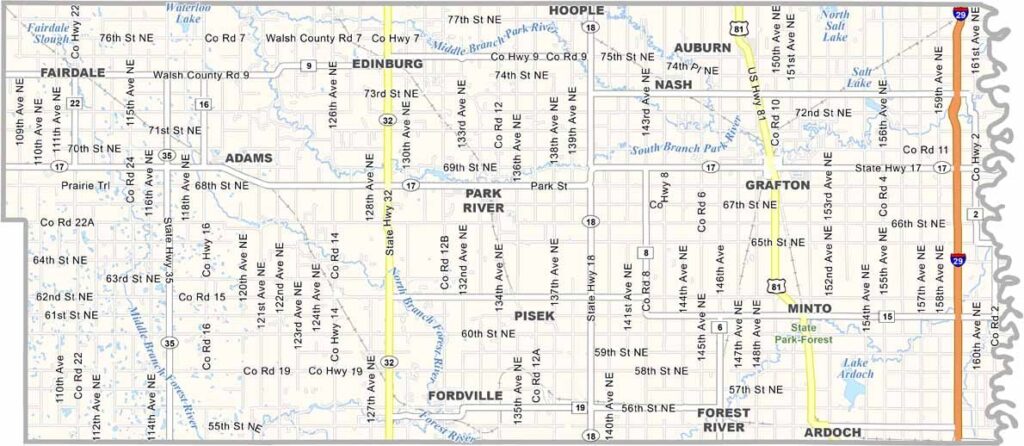
Walsh County Map, North Dakota

Walsh County, North Dakota

Walsh County sits right up against Minnesota in northeastern North Dakota. Grafton, the biggest town and county seat, is known as the "Christmas Capital of North Dakota," and it earns the title by going all out with decorations every year.

This place has history. Farmers here work hard, growing potatoes and other crops. The county is named after George H. Walsh, an old-time newspaper editor.

The Park River snakes through the county, offering great spots for fishing and canoeing. The Red River forms its eastern border, an area prone to flooding. You'll find real small-town charm in places like Minto and Edinburg, and the Walsh County Historical Museum in Minto is well worth a visit.
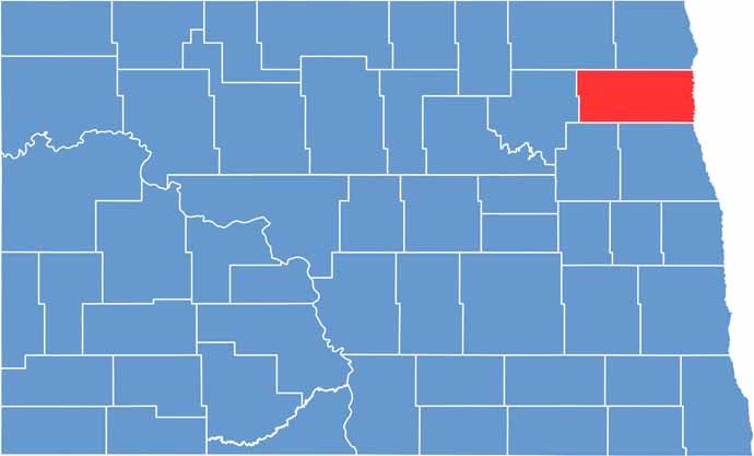
Walsh County location map of North Dakota
CategoryDetails
County NameWalsh County
County SeatGrafton
EtymologyNamed after George H. Walsh
Cities, Towns, and CommunitiesGrafton, Park River, Lankin, Pembina
Interstates and HighwaysNorth Dakota Highway 17, North Dakota Highway 32
FIPS Code38-099
Total Area1,236 square miles (land and water)
Adjacent CountiesPembina County (North), Kittson County, Minnesota (Northeast), Marshall County, Minnesota (East), Grand Forks County (South), Nelson County (Southwest), Ramsey County (West), Cavalier County (Northwest)
Time ZoneCentral Time Zone
StateNorth Dakota
Coordinates48.4200° N, 97.5225° W
Major LandmarksWalsh County Historical Society, Red River Valley Museum
PopulationApproximately 11,000
Scroll to Top





