
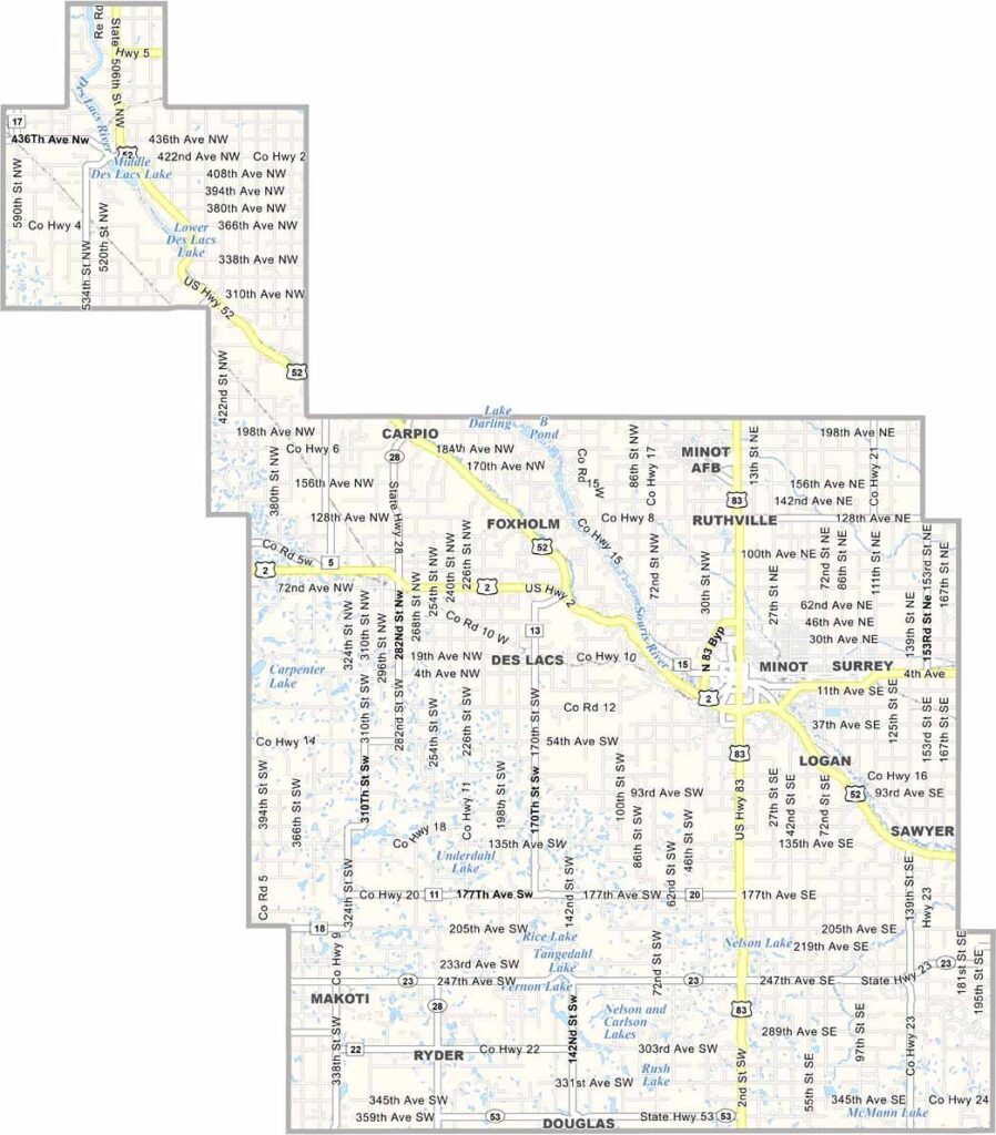
Ward County Map, North Dakota

Ward County, North Dakota

Ward County sits right in the heart of north-central North Dakota, and Minot is the star of the show. They don't call it the "Magic City" for nothing, as it grew like crazy during the railroad days.

The North Dakota State Fair calls Minot home every summer, and it's a big deal. Oak Park is a local favorite, with its band shell and zoo along the Souris River.

You can't talk about Ward County without mentioning Minot Air Force Base, which is a huge part of the community. The Scandinavian Heritage Park is something else, too. Farming is still king in the rural parts of the county, and the Souris River, which means "Mouse River," winds right through it.
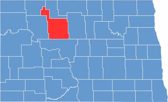
Ward County location map of North Dakota
CategoryDetails
County NameWard County
County SeatMinot
EtymologyNamed after Dakota territorial legislator Mark Ward
Cities, Towns, and CommunitiesMinot, Burlington, Kenmare, Velva
Interstates and HighwaysInterstate 15, North Dakota Highway 2
FIPS Code38-101
Total Area2,055 square miles (land and water)
Adjacent CountiesRenville County (North), McHenry County (East), McLean County (South), Mountrail County (West), Burke County (Northwest)
Time ZoneCentral Time Zone
StateNorth Dakota
Coordinates48.2320° N, 101.2930° W
Major LandmarksMinot Air Force Base, Scandinavian Heritage Park
PopulationApproximately 70,000
Scroll to Top





