
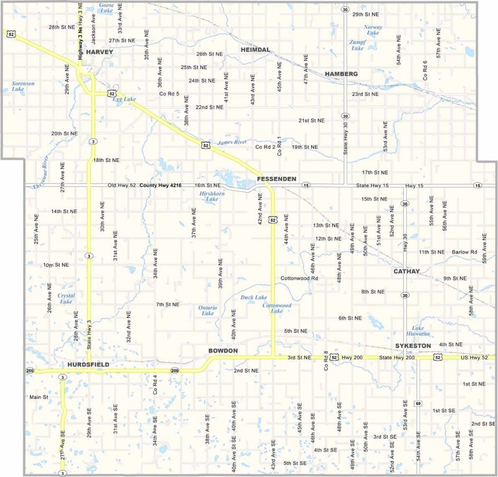
Wells County Map, North Dakota

Wells County, North Dakota

Wells County sits in the dead center of North Dakota and has been a county since 1873. Fessenden is the county seat and home to the Wells County Fair, though Harvey is the biggest town.

This place is all about agriculture, with all the usual suspects like canola, sunflowers, soybeans, and corn. Cattle ranching also plays a big role, with herds grazing across the open prairies.

The county is named after Edward P. Wells, a member of the legislature in 1881. Most of its lakes are great spots for fishing and boating. Want peace and quiet? Wells County has it in spades.
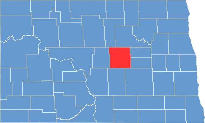
Wells County location map of North Dakota
CategoryDetails
County NameWells County
County SeatFessenden
EtymologyNamed after Edward P. Wells
Cities, Towns, and CommunitiesFessenden, Harvey, Oberon, Sykeston
Interstates and HighwaysNorth Dakota Highway 3, North Dakota Highway 52
FIPS Code38-103
Total Area1,406 square miles (land and water)
Adjacent CountiesBenson County (North), Eddy County (East), Foster County (East), Stutsman County (Southeast), Kidder County (South), Sheridan County (West), Pierce County (Northwest)
Time ZoneCentral Time Zone
StateNorth Dakota
Coordinates47.6410° N, 99.5823° W
Major LandmarksWells County Historical Society, Lake Hoskins
PopulationApproximately 4,000
Scroll to Top





