
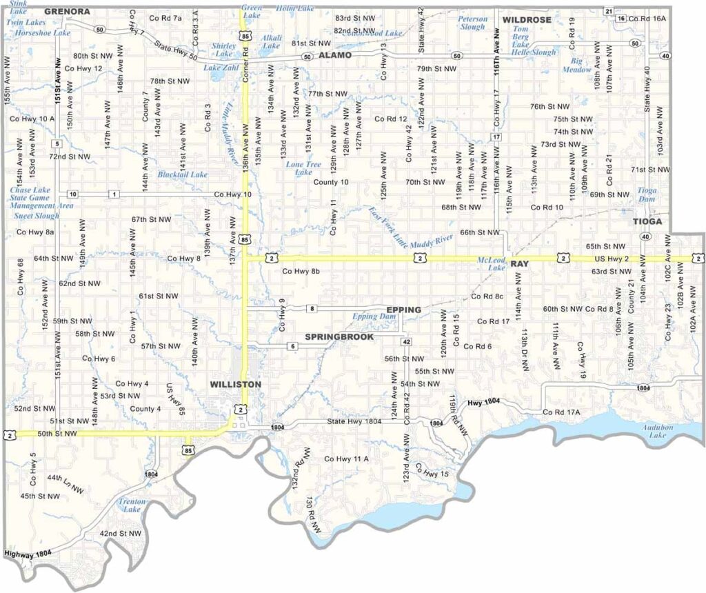
Williams County Map, North Dakota

Williams County, North Dakota

Williams County is oil boom central. Tucked into northwestern North Dakota along the Montana border, it centers on Williston, a city that has seen more changes than a chameleon.

The oil industry has transformed this place, and roughnecks and entrepreneurs rub shoulders here. But it's not all black gold. The Missouri River forms the southern border and offers world-class fishing.

The Fort Union Trading Post National Historic Site is a must-see, a window into the fur trade era. Despite the boom, agriculture is still a big deal, and Williston State College provides general, vocational, and technical education. The North Dakota Badlands also start creeping in here, giving the landscape some serious character.
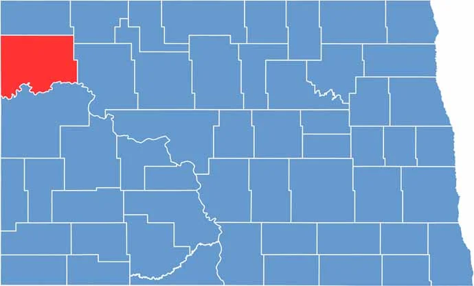
Williams County location map of North Dakota
CategoryDetails
County NameWilliams County
County SeatWilliston
EtymologyNamed after Erastus A. Williams, a former politician.
Cities, Towns, and CommunitiesWilliston, Ray, Tioga, Epping, Alamo
Interstates and HighwaysInterstate 2, North Dakota Highway 85, North Dakota Highway 1804
FIPS Code38-105
Total Area2,677 square miles (land and water)
Adjacent CountiesDivide County (North), Burke County (Northeast), Mountrail County (East), McKenzie County (South), Roosevelt County, Montana (Southwest), Sheridan County, Montana (West)
Time ZoneMountain Time Zone
StateNorth Dakota
Coordinates48.1500° N, 103.6170° W
Major LandmarksTheodore Roosevelt National Park, Fort Union Trading Post National Historic Site
PopulationApproximately 40,000
Scroll to Top





