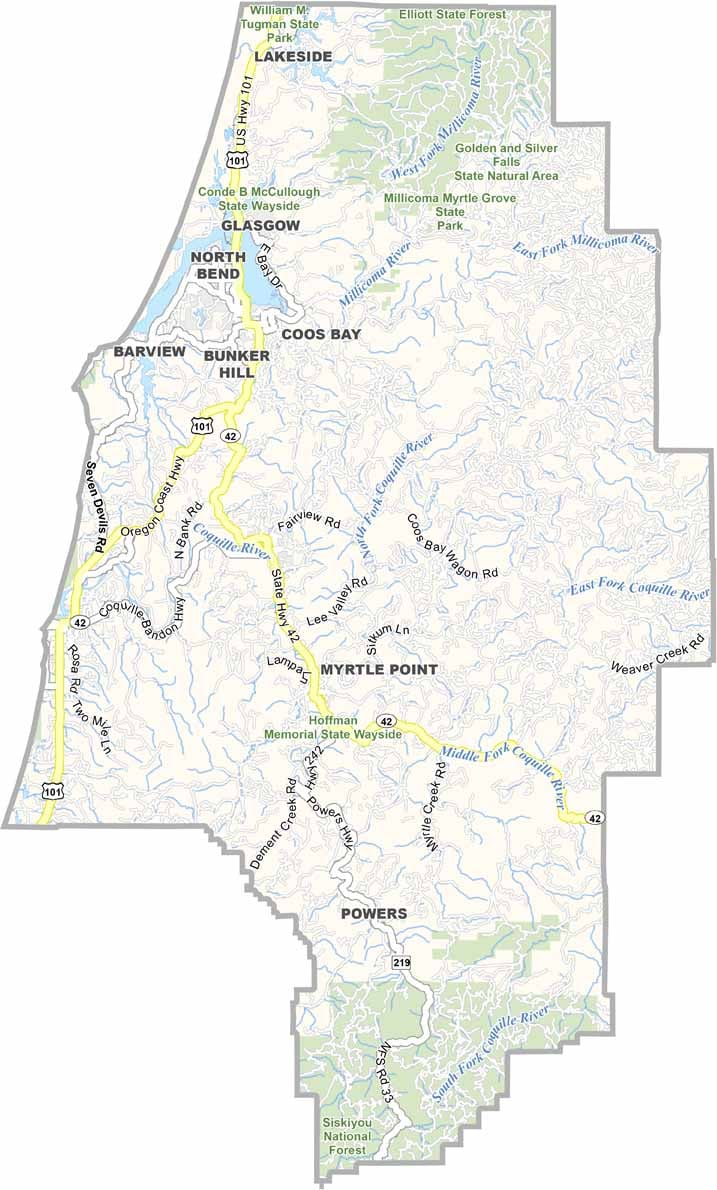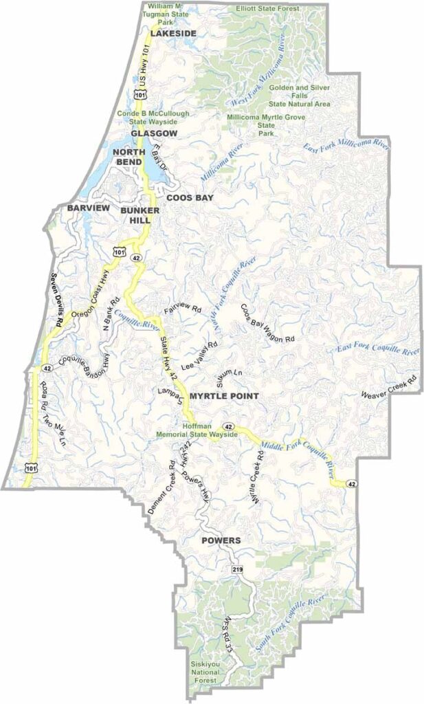
Coos County Map, Oregon

Coos County, Oregon

Coos County sits on the southern coast of Oregon, where the forest meets the sea. It is home to Coos Bay, the largest natural harbor between San Francisco and Seattle.

Fishing boats and cargo ships share these waters, and locals love clamming and crabbing in the bay. Hikers flock to the Oregon Dunes, a massive stretch of sand that looks like another planet.

The county's history is tied to timber, though tourism is growing. Bandon has world-class golf and draws visitors from all over. Tall trees give way to sandy beaches and rocky cliffs, making this a place of rugged beauty.
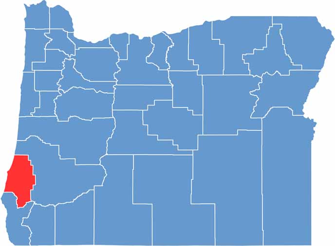

Coos County location map of Oregon
CategoryDetails
County NameCoos County
County SeatCoquille
EtymologyNamed after the Coos Native American tribe
Cities, Towns, and CommunitiesCoquille, Coos Bay, North Bend, Bandon, Myrtle Point, Lakeside, Powers
Interstates and HighwaysU.S. Highway 101, State Highway 42
FIPS Code41-011
Total Area (Land and Water)1,806 square miles (1,596 sq mi land, 210 sq mi water)
Adjacent Counties (and Direction)Douglas County (Northeast), Curry County (South)
Time ZonePacific Time Zone (PST)
StateOregon
Coordinates43°11’N, 124°05’W
Major LandmarksShore Acres State Park, Cape Arago State Park, Oregon Dunes National Recreation Area, Bandon Dunes Golf Resort
PopulationApproximately 64,000
Scroll to Top