
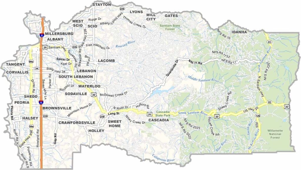
Linn County sits right in the middle of Oregon's Willamette Valley. It's nicknamed the "Grass Seed Capital of the World" because of its grass seed farms.
Albany, the county seat, has a cool small-town vibe and a surprising amount of history. The Cascade Mountains loom to the east, and the Willamette River snakes through, perfect for fishing or lazy float trips.
Covered bridges are everywhere on the landscape. From farm stands to microbreweries, Linn County serves up a slice of Oregon life. It's the kind of place where you can slow down and smell the roses, or in this case, the grass seed.
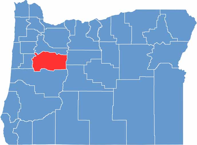
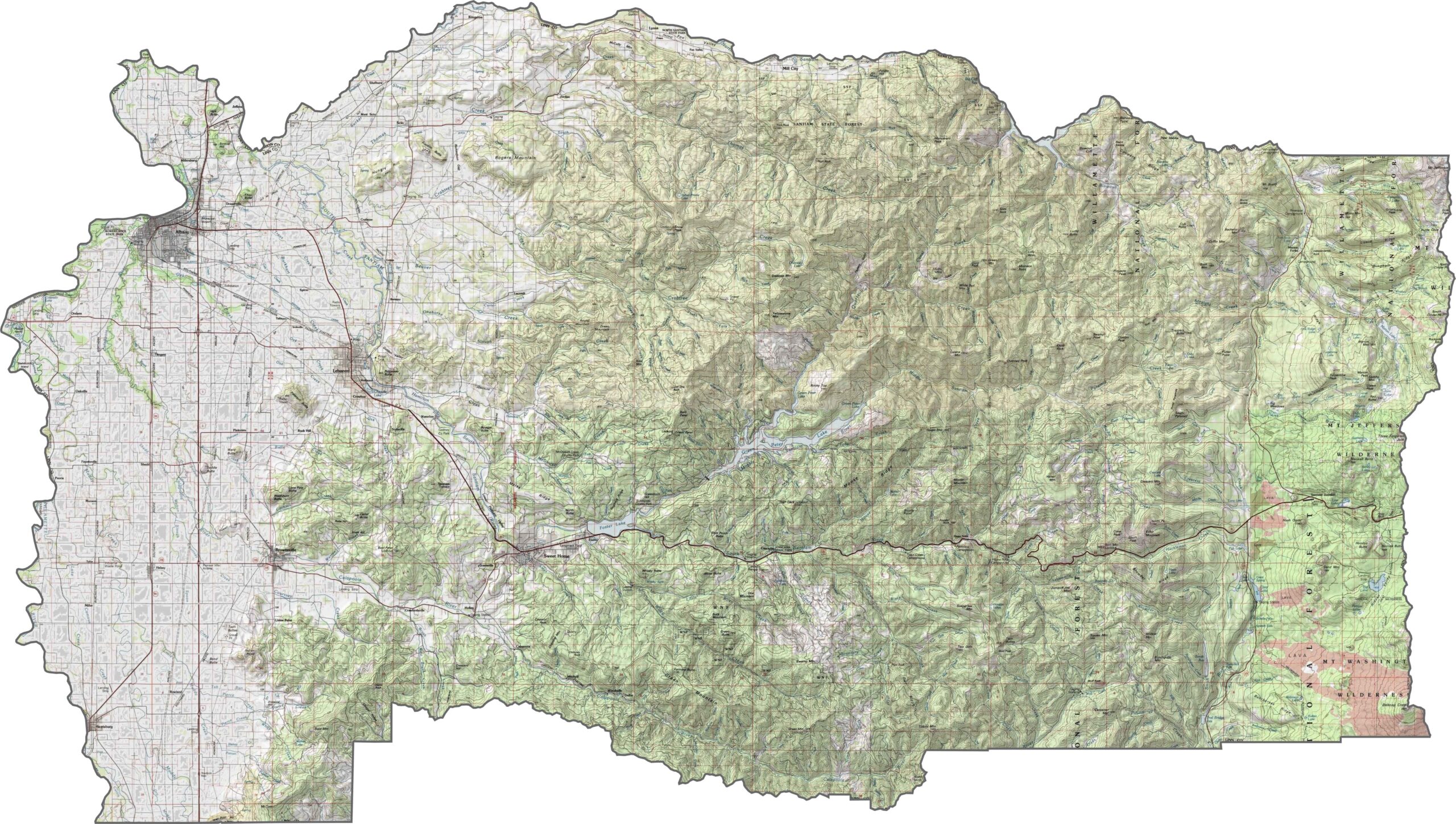
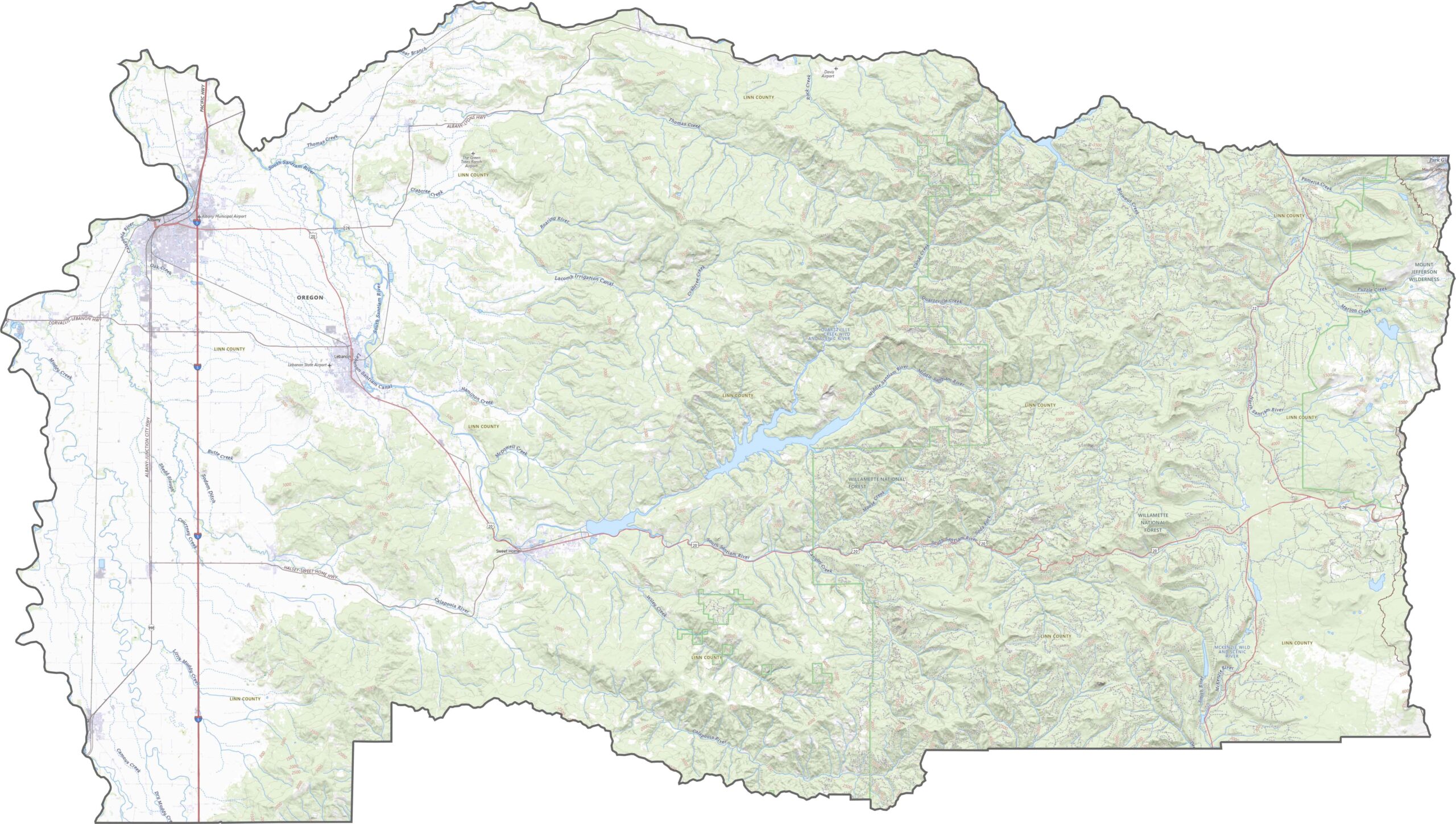
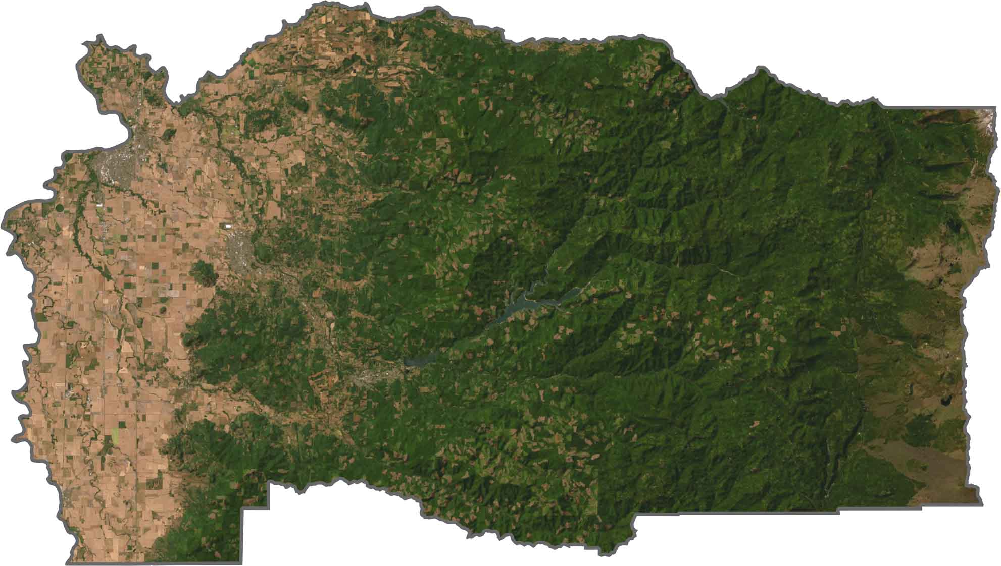
Linn County is a mix of flat farmland and rising mountain terrain. The western half is part of the fertile Willamette Valley, while the east climbs into steep forested ridges. Elevation increases quickly past the towns.
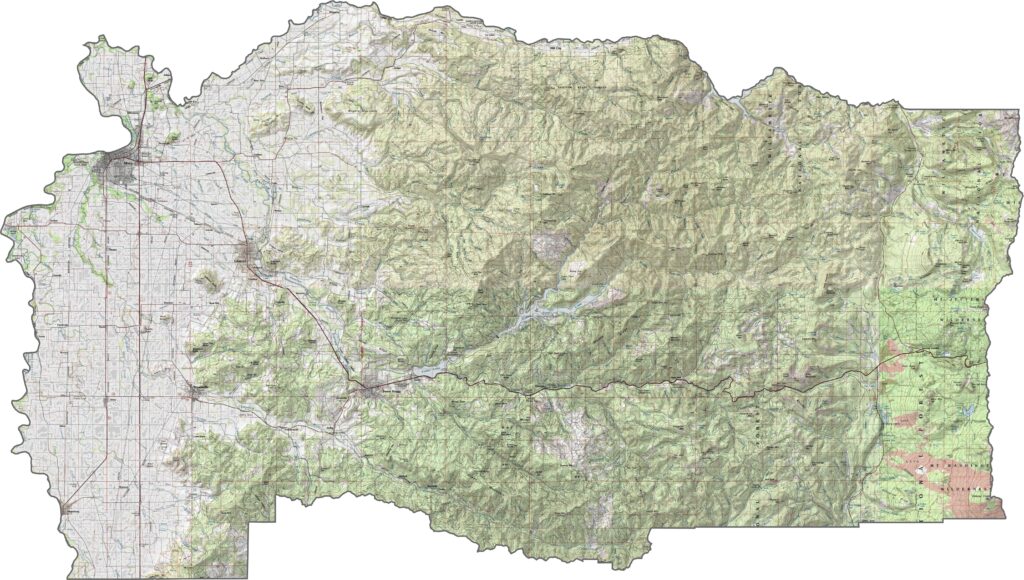
Linn County has a network of roads that balance local access with regional connections. Main routes cut across the valley floor, while smaller roads climb into the Cascades. Our zoom tool in our map below helps you follow every highway.
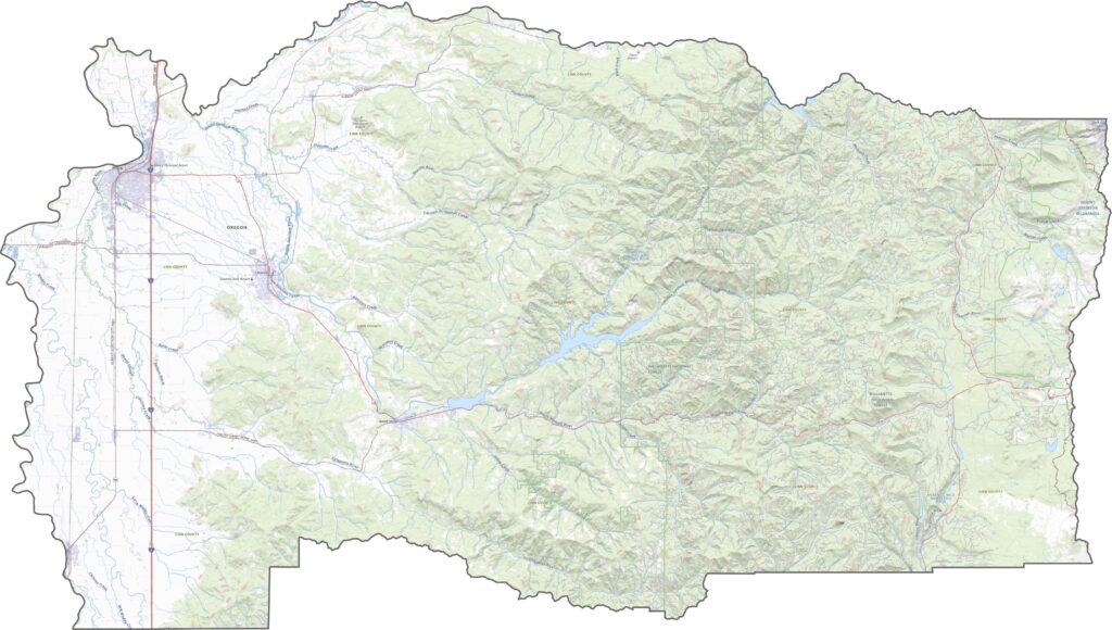
Much of the land in the western half is checkerboard farmland, green and neatly divided. Forest areas show up darker, especially in the eastern half. Towns are spaced out, with Albany standing out clearly in the central west.
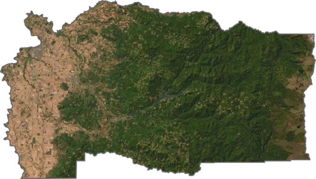
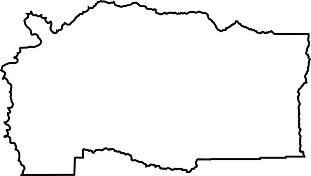
Linn County has a curvy shape along most of its edges. There are no state borders, but it touches several neighboring counties. The Santiam River forms part of its northern boundary.







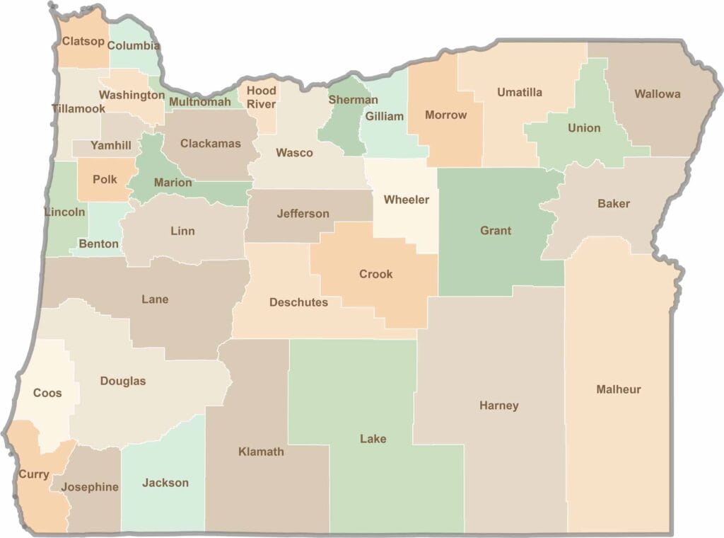
Oregon’s 36 counties cover everything from rugged coastlines and cascading waterfalls to the high desert. One day, you’re exploring a foggy fishing town; the next, you’re standing face-to-face with towering volcanic peaks.