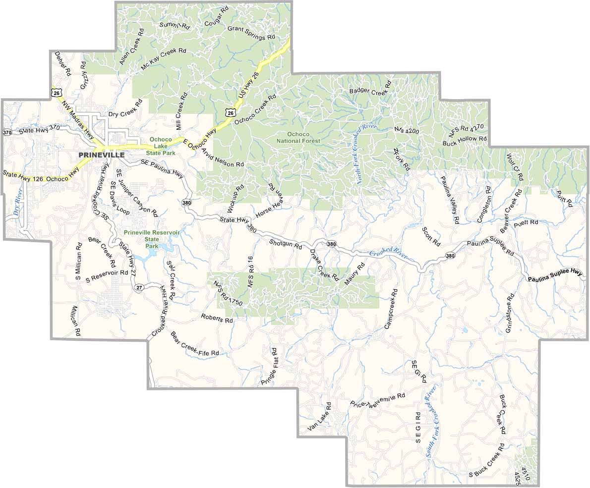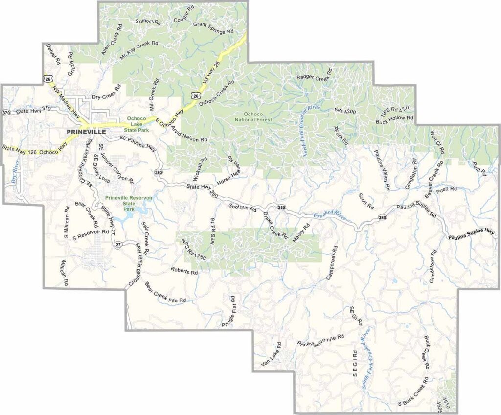
Crook County Map, Oregon

Crook County, Oregon

Crook County sits in the middle of Oregon, in high desert country where sagebrush and junipers are a common sight. The Ochoco National Forest covers much of the northern region.

Prineville, the only city, has a classic small-town feel, but its size is deceiving. Ranching and timber built the place, and now tech is moving in. Facebook (Meta) even has a data center here.

Prineville Reservoir State Park is a playground for outdoorsy types, with fishing, hunting, and hiking to take your pick from.
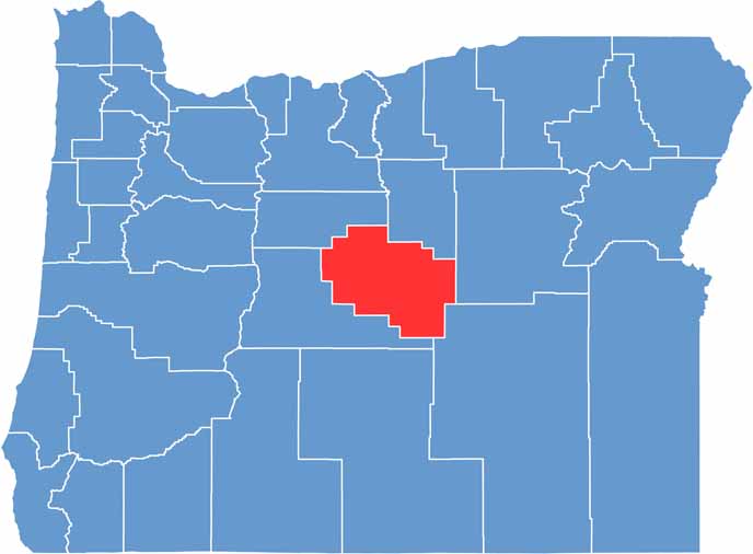

Location map of Crook County, Oregon
CategoryDetails
County NameCrook County
County SeatPrineville
EtymologyNamed after George Crook, a U.S. Army officer who served during the Indian Wars
Cities, Towns, and CommunitiesPrineville, Powell Butte
Interstates and HighwaysU.S. Highway 26, State Highway 27
FIPS Code41-013
Total Area (Land and Water)2,987 square miles (2,980 sq mi land, 7 sq mi water)
Adjacent Counties (and Direction)Jefferson County (North), Wheeler County (North), Grant County (East), Harney County (Southeast), Deschutes County (Southwest)
Time ZonePacific Time Zone (PST)
StateOregon
Coordinates44°02’N, 120°00’W
Major LandmarksOchoco National Forest, Prineville Reservoir State Park, Steins Pillar
PopulationApproximately 26,000
Scroll to Top