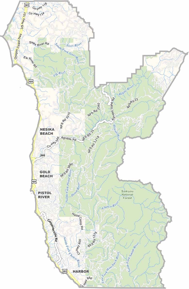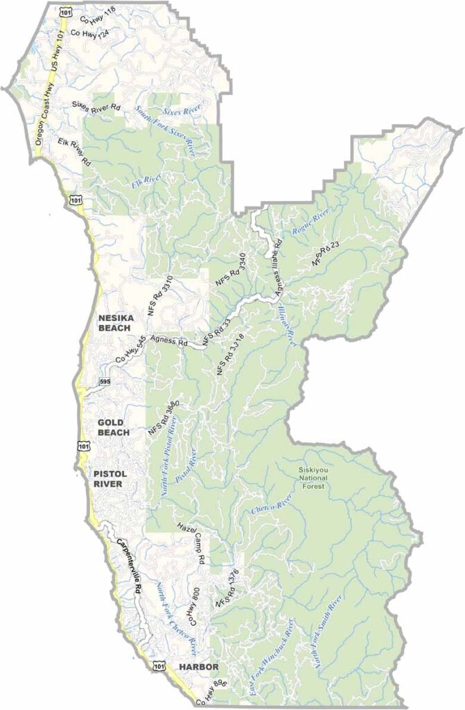
Curry County Map, Oregon

Curry County, Oregon

Curry County hugs the southwest corner of Oregon, where the mountains tumble into the Pacific. It is wild and rugged, the kind of place that makes you feel small. The coastline is a stunner, with hidden beaches and massive rock formations.

Port Orford claims to be the westernmost town in the lower 48, and locals make their living from the sea or the visitors it draws. The Rogue River cuts through the county and is famous for its salmon runs and whitewater rafting.

Inland, the Siskiyou National Forest is home to trees older than America itself and covers more than half of the county. Gold Beach, despite its name, is more about fishing than sunbathing. This is the Oregon coast at its most raw and beautiful.
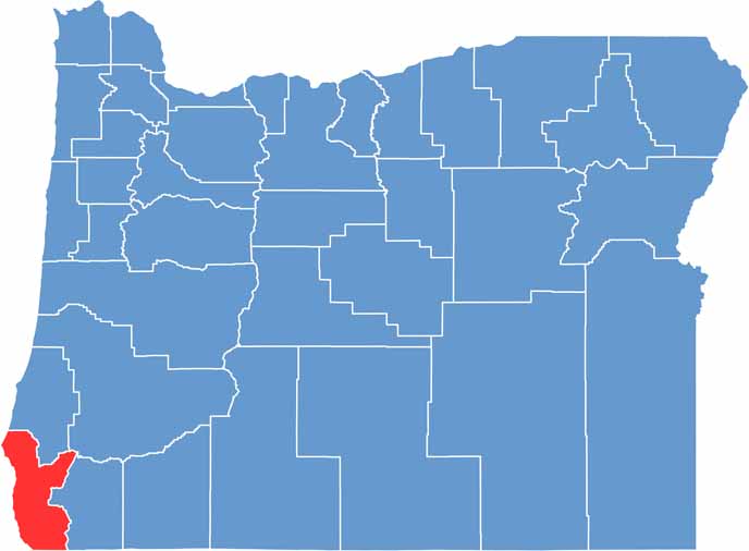

Location map of Curry County, Oregon
CategoryDetails
County NameCurry County
County SeatGold Beach
EtymologyNamed after George Law Curry, governor of the Oregon Territory
Cities, Towns, and CommunitiesGold Beach, Brookings, Port Orford, Harbor
Interstates and HighwaysU.S. Highway 101
FIPS Code41-015
Total Area (Land and Water)1,988 square miles (1,627 sq mi land, 361 sq mi water)
Adjacent Counties (and Direction)Coos County (North), Douglas County (Northeast), Josephine County (East), Del Norte County, California (South)
Time ZonePacific Time Zone (PST)
StateOregon
Coordinates42°26’N, 124°16’W
Major LandmarksRogue River, Harris Beach State Park, Cape Blanco, Prehistoric Gardens
PopulationApproximately 23,000
Scroll to Top