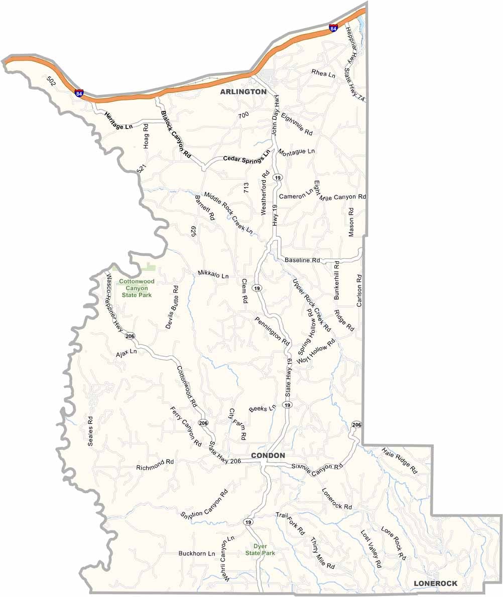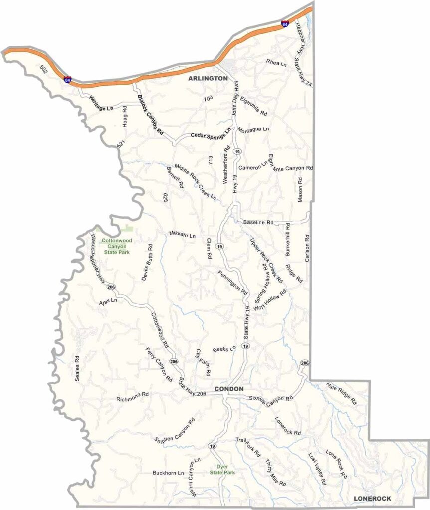
Gilliam County Map, Oregon

Gilliam County, Oregon

Gilliam County sits in north-central Oregon, where the Columbia Plateau meets the Blue Mountains. It is a place of wide-open spaces and big skies, with wheat fields stretching to the horizon.

Interstate 84 and the Columbia River form the northern border with the state of Washington. Condon, the county seat, is a small town with a lot of character, and locals take pride in their agricultural heritage.

Fishing and hunting are popular pastimes, and wind farms dot the landscape, a sign of changing times. Ranching and farming still rule, though, and it is quiet out here, just the way folks like it.
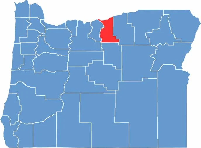

Location map of Gilliam County, Oregon
CategoryDetails
County NameGilliam County
County SeatCondon
EtymologyNamed after Cornelius Gilliam, a pioneer colonel
Cities, Towns, and CommunitiesCondon, Arlington, Lonerock
Interstates and HighwaysInterstate 84, U.S. Highway 30, State Highway 19
FIPS Code41-021
Total Area (Land and Water)1,223 square miles (1,204 sq mi land, 19 sq mi water)
Adjacent Counties (and Direction)Klickitat County, Washington (North), Morrow County (East), Wheeler County (South), Wasco County (Southwest), Sherman County (West)
Time ZonePacific Time Zone (PST)
StateOregon
Coordinates45°16’N, 120°11’W
Major LandmarksCottonwood Canyon State Park, John Day River, Historic Condon Hotel
PopulationApproximately 2,000
Scroll to Top