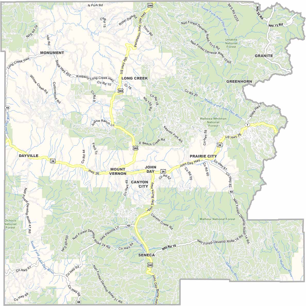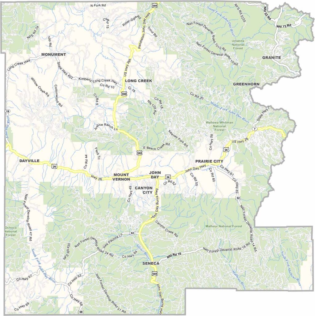
Grant County Map, Oregon

Grant County, Oregon

Grant County sits in eastern Oregon, where the Blue Mountains rise from the high desert. The terrain is rugged, and Prairie City and John Day are the main towns, both with a distinct frontier feel.

The John Day Fossil Beds are a major draw, with ancient landscapes frozen in colorful rock layers. The Wallowa-Whitman, Malheur, and Umatilla National Forests cover most of the county.

Ranching is big business here, and so is logging, though less than in the past. Elk and deer outnumber people in most areas. Summers are hot and dry and winters can be brutal, but the scenery is always stunning.
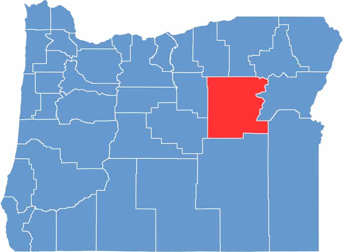

Location map of Grant County, Oregon
CategoryDetails
County NameGrant County
County SeatCanyon City
EtymologyNamed after Ulysses S. Grant, the 18th President of the United States
Cities, Towns, and CommunitiesJohn Day, Prairie City, Canyon City, Seneca, Dayville, Monument
Interstates and HighwaysU.S. Highway 26, State Highway 19, State Highway 402
FIPS Code41-023
Total Area (Land and Water)4,529 square miles (4,529 sq mi land, 1 sq mi water)
Adjacent Counties (and Direction)Morrow County (Northwest), Umatilla County (North), Union County (Northeast), Baker County (East), Malheur County (Southeast), Harney County (South), Crook County (Southwest), Wheeler County (West)
Time ZonePacific Time Zone (PST)
StateOregon
Coordinates44°25’N, 119°00’W
Major LandmarksJohn Day Fossil Beds National Monument, Strawberry Mountain Wilderness, Grant County Historical Museum
PopulationApproximately 7,000
Scroll to Top