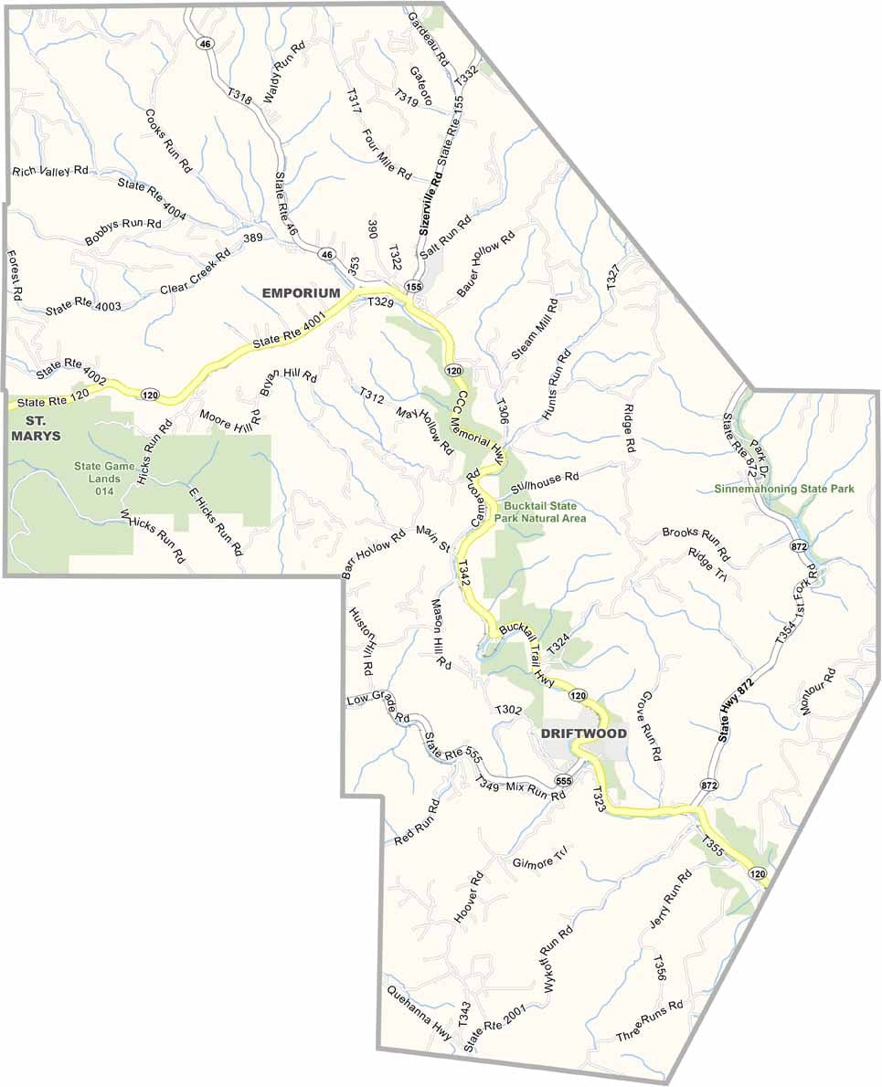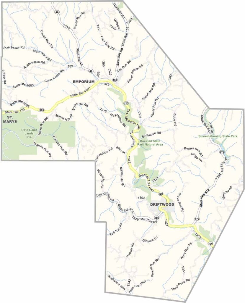
Cameron County Map, Pennsylvania

Cameron County, Pennsylvania

Cameron County lies in north-central Pennsylvania and is one of the state's least populated counties. Forests blanket most of its land, and its natural resources have earned it the nickname "The Little Power House."

Sinnemahoning State Park sits in a mountainous setting ringed by Elk State Forest, where elk roam freely. Hunters and anglers will feel right at home, and the Allegheny Plateau adds sweeping views.

Emporium, the county's only borough, is also the county seat. Old lumber camps draw visitors throughout the year, and despite its small population, Cameron County still offers a good number of amenities.
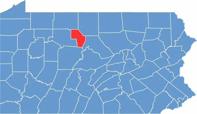

Location map of Cameron County, Pennsylvania
CategoryDetails
County NameCameron County
County SeatEmporium
EtymologyNamed after Simon Cameron, a U.S. Senator from Pennsylvania
Cities, Towns, and CommunitiesEmporium, Driftwood, Sterling Run, Sinnemahoning
Interstates and HighwaysU.S. Highway 120, State Highway 155
FIPS Code42-023
Total Area (Land and Water)398 square miles (396 sq mi land, 2 sq mi water)
Adjacent Counties (and Direction)McKean County (North), Potter County (Northeast), Clinton County (East), Clearfield County (South), Elk County (West)
Time ZoneEastern Time Zone (EST)
StatePennsylvania
Coordinates41°26’N, 78°13’W
Major LandmarksSinnemahoning State Park, Bucktail State Park Natural Area, Elk State Forest
PopulationApproximately 4,400
Scroll to Top