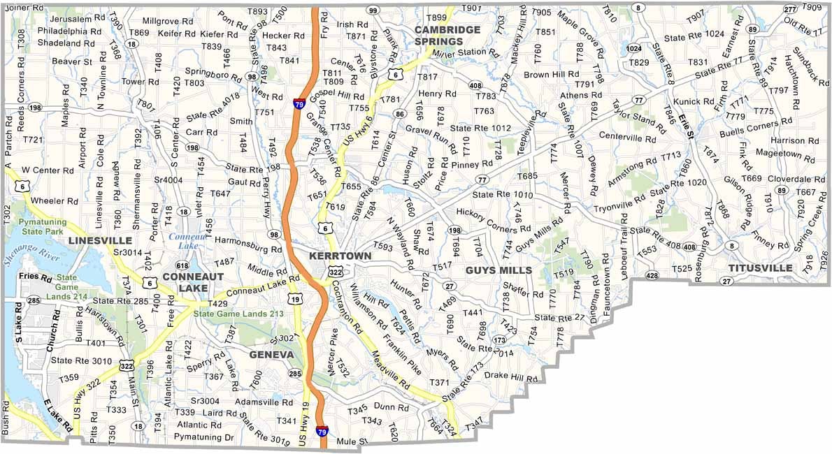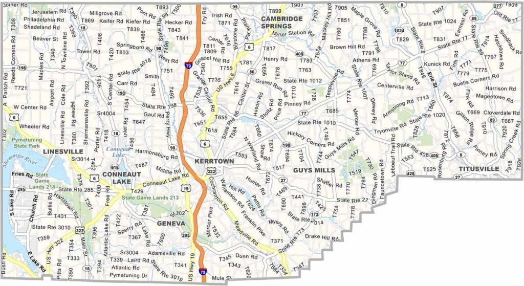
Crawford County Map, Pennsylvania

Elk County, Pennsylvania

Elk County sits high in north-central Pennsylvania, and its name is no coincidence. The county is famous for its elk herd, and visitors travel from far and wide to see these majestic animals.

It isn't a bustling metropolis, and that is part of its charm. Ridgway, the county seat, feels like a step back in time with its Victorian architecture, though nature is the real draw here.

The Allegheny National Forest covers a good portion of the western half, making the county a paradise for hikers and campers. The Clarion River is great for kayaking, and the whole area is peaceful, just the way locals like it.
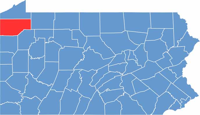

Location map of Crawford County, Pennsylvania
CategoryDetails
County NameElk County
County SeatRidgway
EtymologyNamed after the elk that were plentiful in the area
Cities, Towns, and CommunitiesRidgway, St. Marys, Johnsonburg, Wilcox, Kersey
Interstates and HighwaysU.S. Highway 219, State Highway 255, State Highway 948
FIPS Code42-047
Total Area (Land and Water)832 square miles (827 sq mi land, 5 sq mi water)
Adjacent Counties (and Direction)McKean County (North), Cameron County (East), Clearfield County (South), Jefferson County (Southwest), Forest County (West), Warren County (Northwest)
Time ZoneEastern Time Zone (EST)
StatePennsylvania
Coordinates41°25’N, 78°40’W
Major LandmarksElk Country Visitor Center, Bendigo State Park, Allegheny National Forest
PopulationApproximately 29,000
Scroll to Top