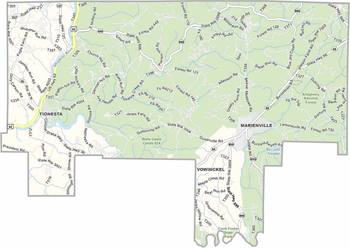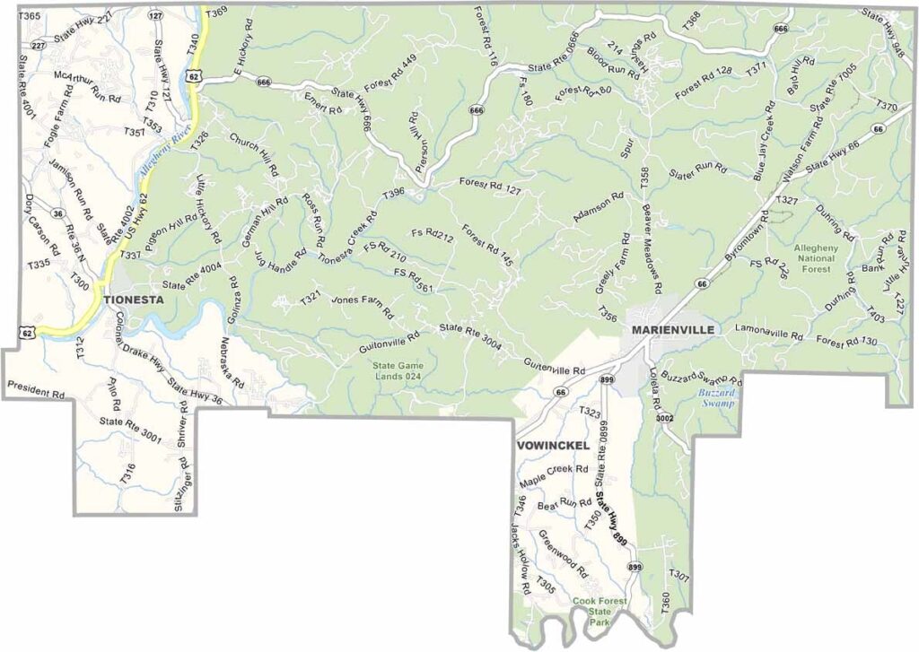
Forest County Map, Pennsylvania

Forest County, Pennsylvania

Forest County sits in the northwest corner of Pennsylvania and is one of the state's least populated counties. What it lacks in people, it makes up for in trees, as the Allegheny National Forest covers a huge portion of its land.

Tionesta, the county seat, is home to roughly 500 residents, and life here is peaceful. Hunting and fishing are the big draws, and the Allegheny River flows through the county, offering prime canoeing spots.

Winters can be harsh, but the fall foliage is spectacular. Nightlife is limited to stargazing, so some find the county too remote while others call it paradise. Forest County is the place to go when you want to unplug and breathe some truly fresh air.
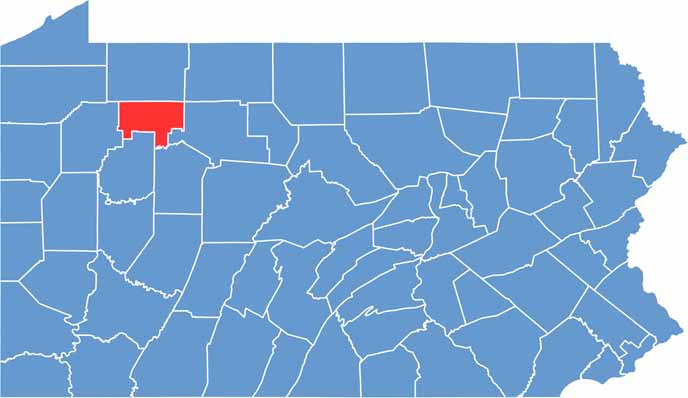

Location map of Forest County, Pennsylvania
CategoryDetails
County NameForest County
County SeatTionesta
EtymologyNamed after its extensive forested areas
Cities, Towns, and CommunitiesTionesta, Marienville, West Hickory
Interstates and HighwaysU.S. Highway 62, State Highway 36, State Highway 66
FIPS Code42-053
Total Area (Land and Water)430 square miles (428 sq mi land, 2 sq mi water)
Adjacent Counties (and Direction)Warren County (North), McKean County (Northeast), Elk County (East), Jefferson County (South), Clarion County (South), Venango County (West)
Time ZoneEastern Time Zone (EST)
StatePennsylvania
Coordinates41°31’N, 79°14’W
Major LandmarksAllegheny National Forest, Cook Forest State Park, Tionesta Lake
PopulationApproximately 7,000
Scroll to Top