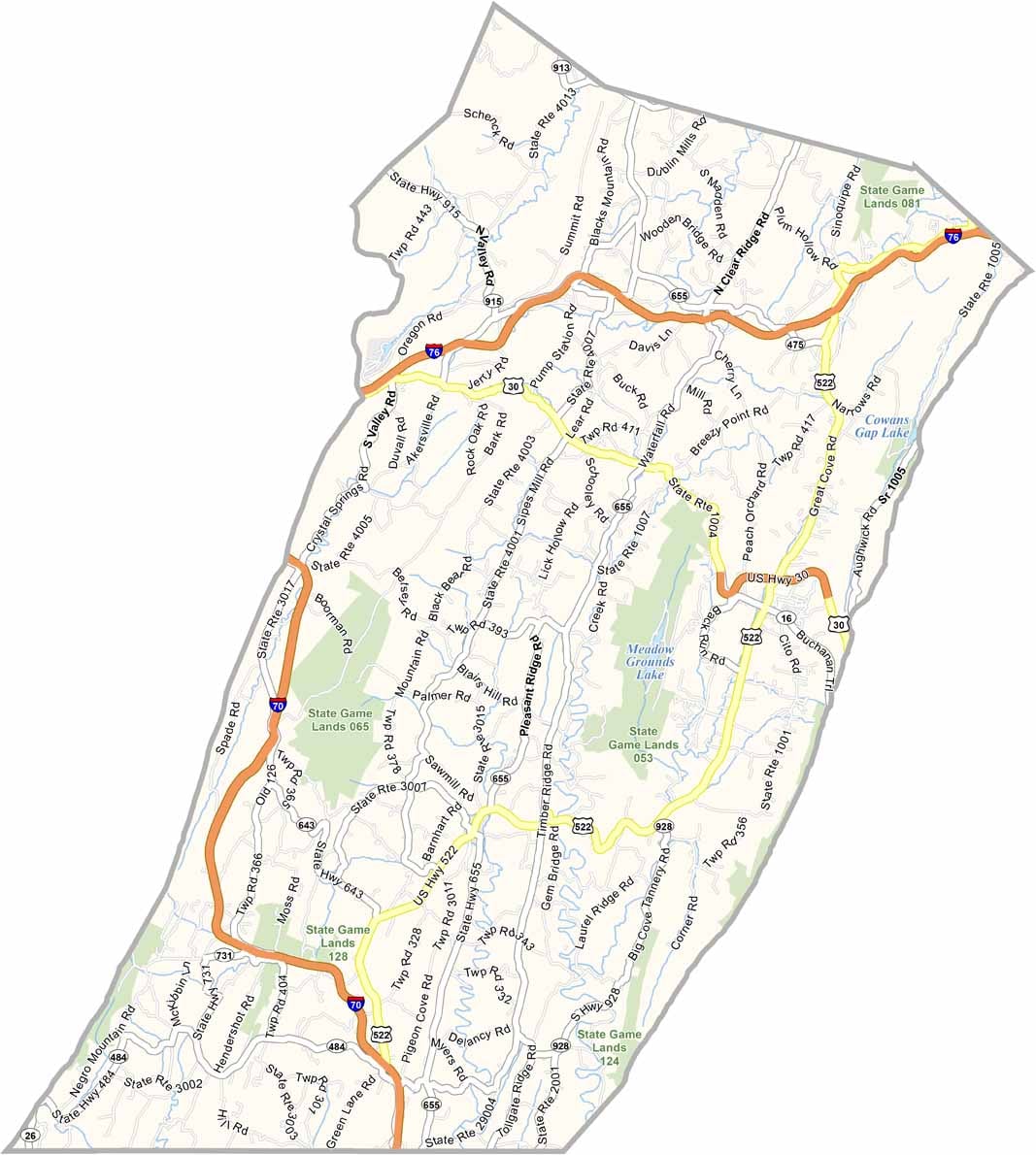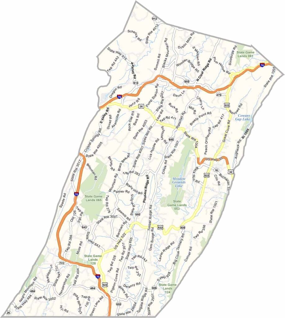
Fulton County Map, Pennsylvania

Fulton County, Pennsylvania

Fulton County lies in south-central Pennsylvania, along the Maryland border, and the Appalachians dominate its landscape. It is a rural county, with only about 15,000 residents spread across its territory.

McConnellsburg serves as the county seat, and history lovers can still see sections of the old Lincoln Highway, America's first coast-to-coast road.

Hiking and fishing opportunities are plentiful, and several state game lands offer hunting and trapping. The Fulton Fall Folk Festival each October draws visitors from all around.
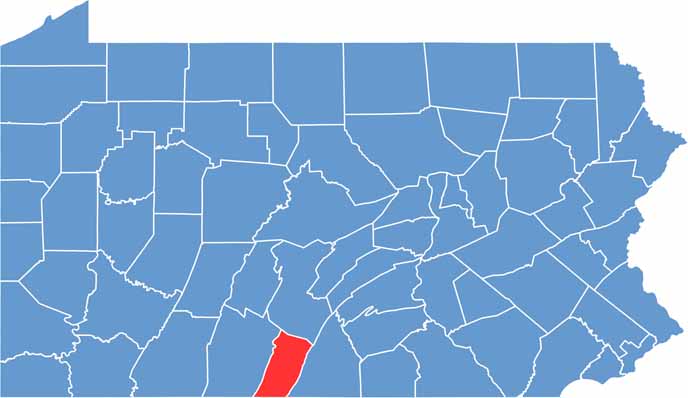

Location map of Fulton County, Pennsylvania
CategoryDetails
County NameFulton County
County SeatMcConnellsburg
EtymologyNamed after Robert Fulton, the inventor of the steamboat
Cities, Towns, and CommunitiesMcConnellsburg, Warfordsburg, Needmore, Hustontown, Big Cove Tannery
Interstates and HighwaysInterstate 70, U.S. Highway 30, U.S. Highway 522
FIPS Code42-057
Total Area (Land and Water)438 square miles (437 sq mi land, 1 sq mi water)
Adjacent Counties (and Direction)Huntingdon County (North), Franklin County (East), Washington County, Maryland (South), Allegany County, Maryland (Southwest), Bedford County (West)
Time ZoneEastern Time Zone (EST)
StatePennsylvania
Coordinates39°55’N, 78°07’W
Major LandmarksCowans Gap State Park, Buchanan State Forest, Sideling Hill Mountain
PopulationApproximately 15,000
Scroll to Top