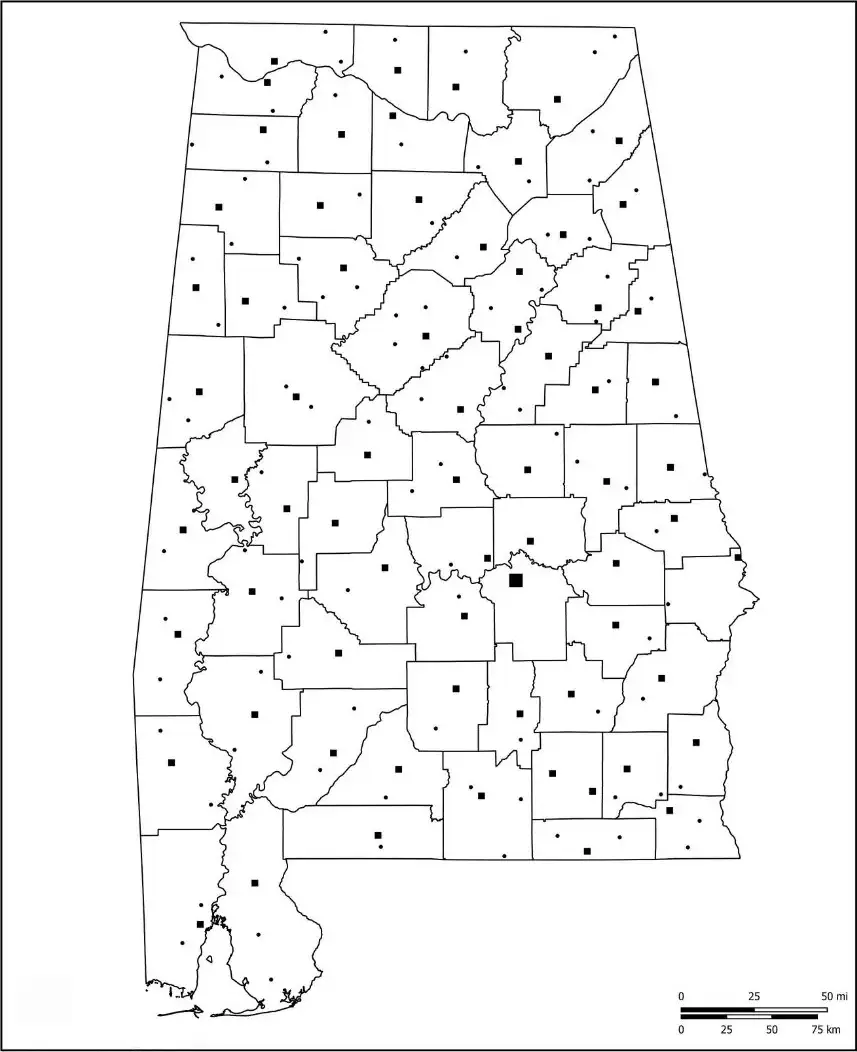
A Blank Alabama County Map is a valuable resource for a variety of educational, planning, and reference purposes. Unlike fully labeled maps, it provides only the essential features of Alabama, such as state boundaries, county outlines, major cities, and important rivers. This simplified format encourages users to actively engage with the map by identifying locations, labeling regions, and exploring the state's geographic and political structure on their own.

A Blank Alabama Map is particularly useful in educational settings, where it helps students develop a better understanding of the state's geography. Teachers often use it for map-labeling exercises and geography lessons, allowing students to identify important physical features such as the Tennessee River, the Appalachian Mountains, and Alabama’s coastline along the Gulf of Mexico. By locating and labeling these features, students can strengthen their knowledge of Alabama’s natural landscape and geographic characteristics.
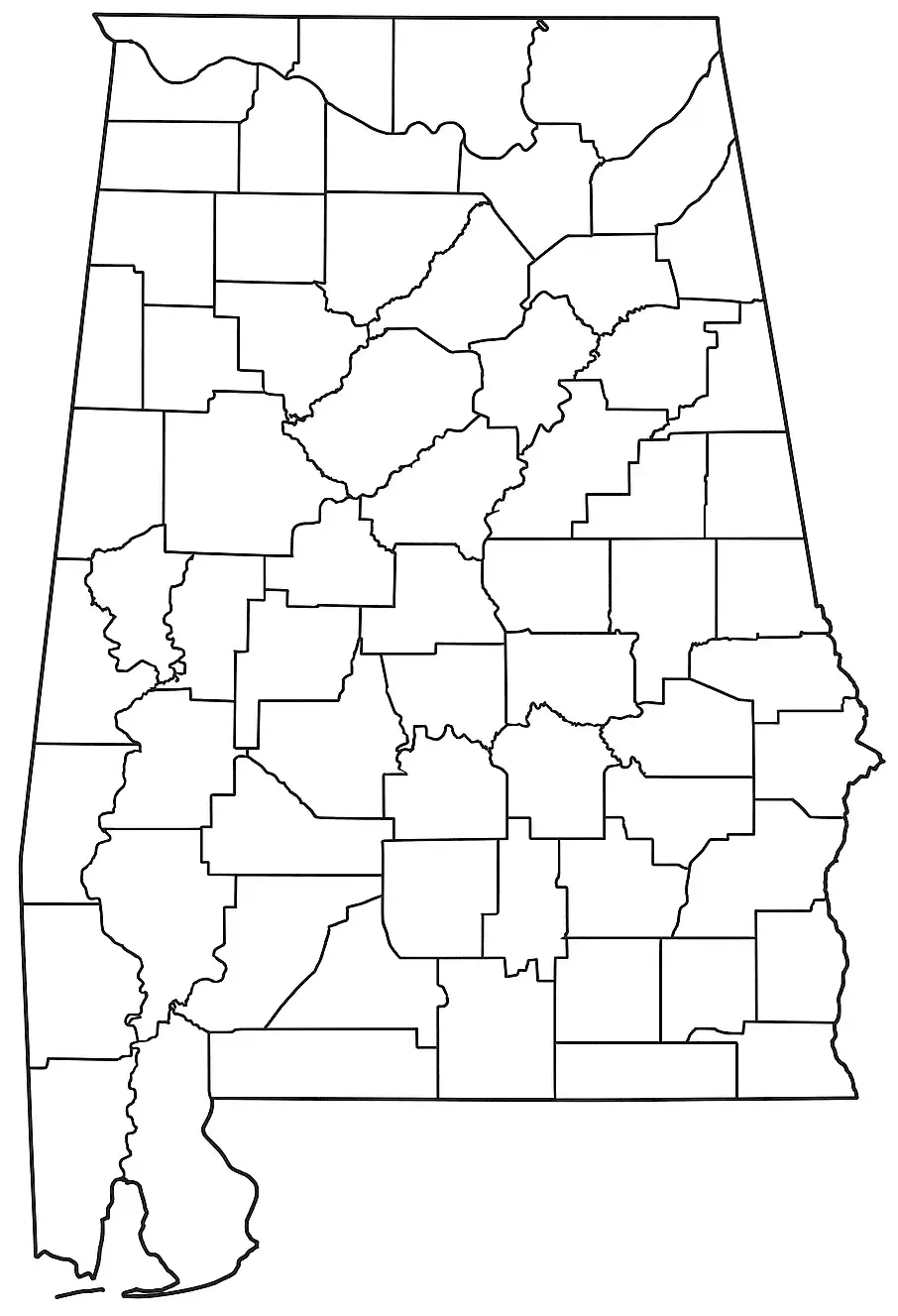
A Blank Alabama Map is a valuable classroom resource for teaching map-reading and geographic skills. Teachers can use it for activities such as labeling cities like Birmingham, identifying counties, and locating important landmarks. These exercises help students develop spatial awareness and gain a better understanding of Alabama’s diverse landscapes, from rural communities and urban centers to coastal plains. Beyond education, a blank map can also support research projects, travel planning, and regional studies. Whether used for interactive learning or independent exploration, it serves as an effective tool for understanding the physical and political geography of Alabama.
Located in the southeastern United States, Alabama is known for its varied geography, rich history, and vibrant culture. The state features a range of natural environments, stretching from the Appalachian Mountains in the north to the coastline of the Gulf of Mexico in the south. Major cities such as Birmingham, Montgomery, and Mobile contribute significantly to the state's economy, culture, and historical identity, each offering its own unique role in Alabama’s development and heritage.
Alabama is widely recognized for its central role in the Civil Rights Movement, as well as its strong agricultural economy, which includes crops and industries such as cotton, peanuts, and poultry. Often considered part of the Deep South, the state is known for its distinctive Southern identity, rich musical heritage, numerous state parks, and vibrant communities spread across both urban and rural regions.
An Alabama map worksheet is a valuable educational resource that helps students learn about the geography of Alabama. These worksheets typically feature a blank or partially labeled map and require students to identify and label major cities, counties, rivers, and other important geographic features. By completing these activities, learners gain a stronger understanding of the state's layout and regional characteristics.
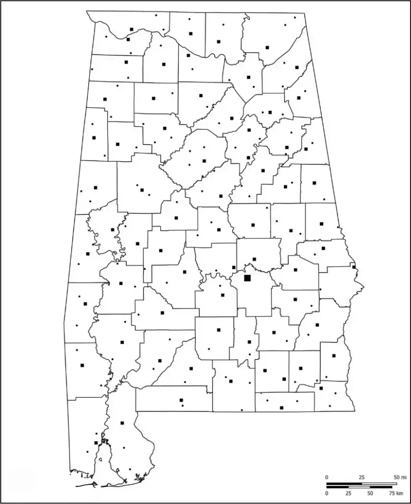
Teachers often incorporate Alabama map worksheets into interactive lessons to strengthen map-reading skills, spatial awareness, and geographic knowledge. Students may be asked to label cities, counties, rivers, and mountain ranges, helping them become more familiar with Alabama’s diverse landscape. Activities involving features such as the Tennessee River and the Appalachian Mountains encourage active learning while reinforcing key geographic concepts. These worksheets are particularly useful for history, geography, and social studies lessons, providing a hands-on way to explore the state's physical and political features.
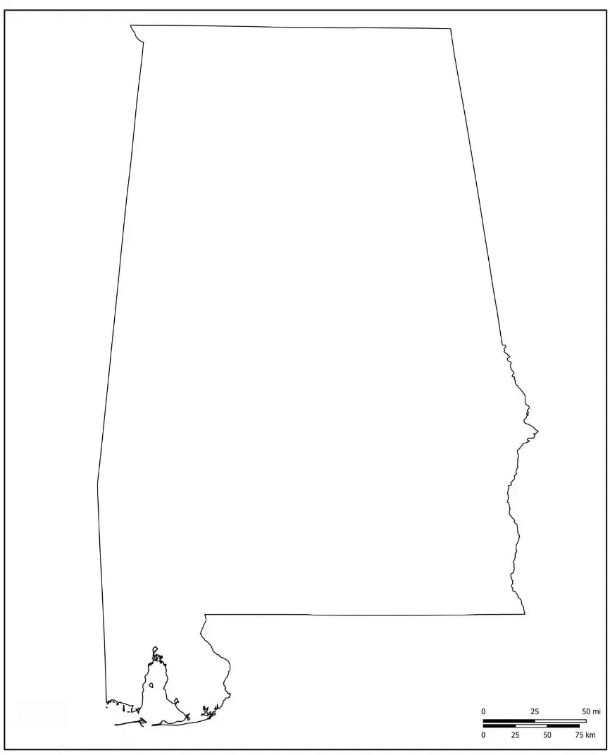
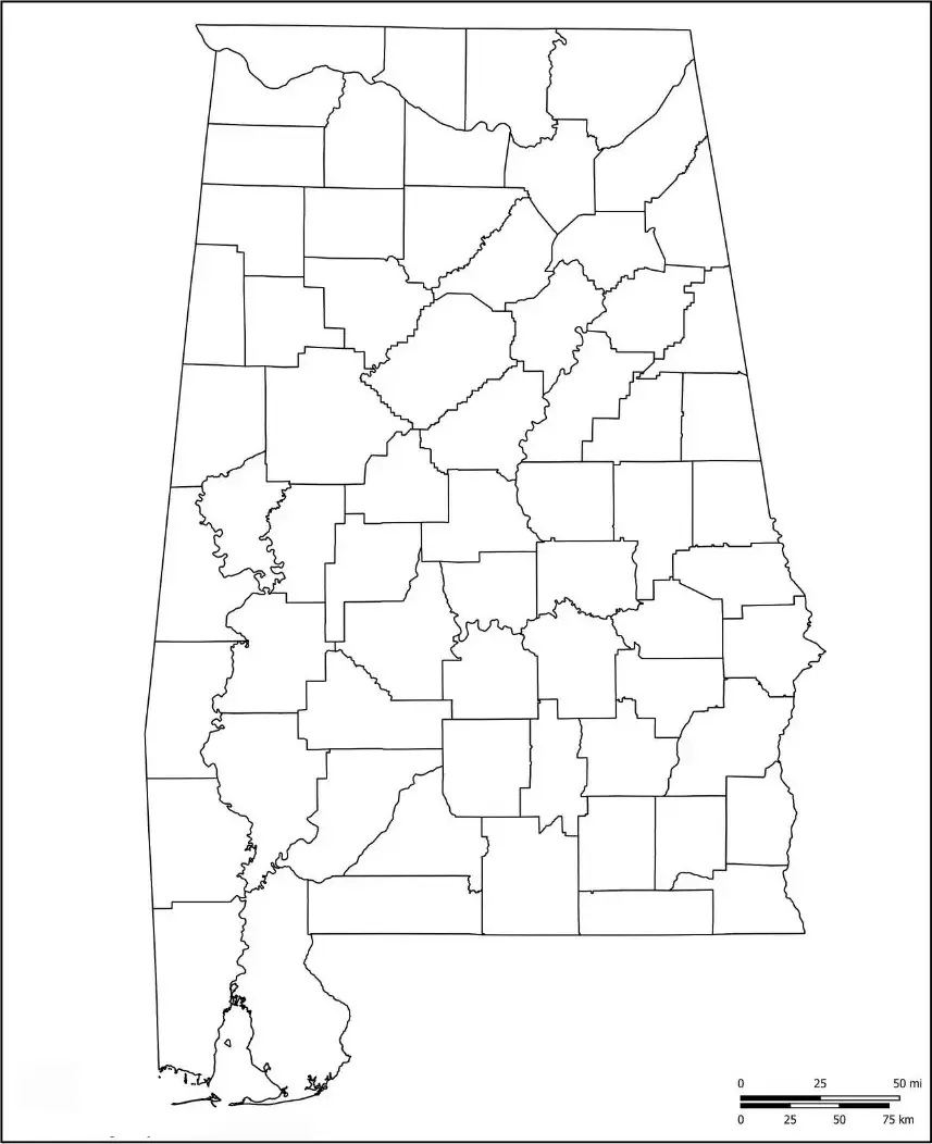
A Blank Alabama map outline provides a simple representation of the boundaries and shape of Alabama, making it a useful tool for learning and teaching geography. Students can use the outline to label important locations, including major cities such as Birmingham and Montgomery, while becoming more familiar with the state's geographic layout.
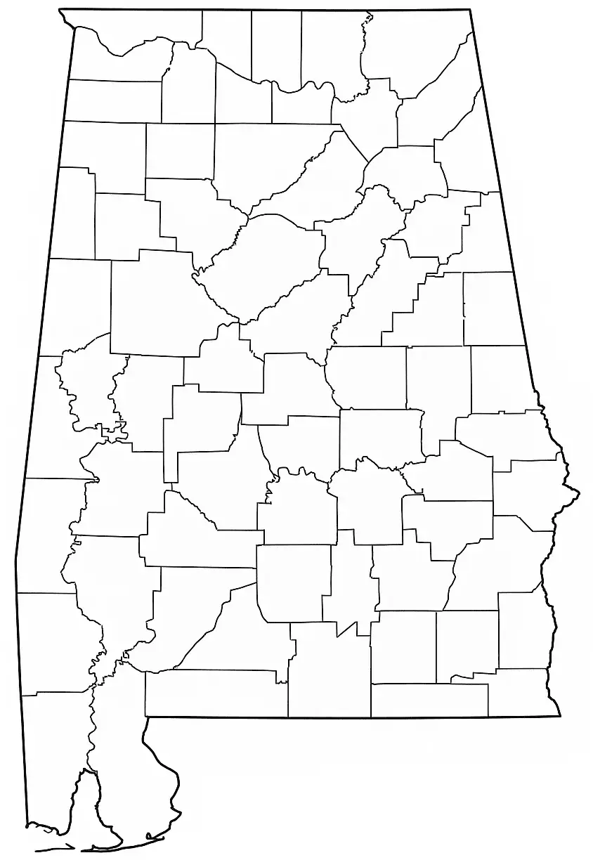
Teachers often use blank map outlines for interactive classroom activities, such as identifying counties, rivers, major landmarks, and neighboring regions. These exercises encourage active participation and help students develop map-reading, spatial reasoning, and geographic knowledge. Because of its flexibility, a Blank Alabama map outline serves as a versatile educational resource for geography, history, and social studies lessons.

