A Blank Alaska Map is a valuable resource for geographers, travelers, and students who want to learn more about the unique landscape of Alaska. As the largest state in the United States, Alaska is known for its vast wilderness, towering mountain ranges, including the Alaska Range, and its extensive coastline bordering the Pacific Ocean. Using a blank map allows learners to identify and label major cities such as Anchorage, Juneau, and Fairbanks, as well as important natural landmarks like the Bering Sea, the Arctic Ocean, and the Yukon River.

In educational settings, blank Alaska maps are widely used to help students develop a better understanding of the state's geography and regional characteristics. They are ideal for classroom activities, map exercises, quizzes, and lessons covering Alaska’s diverse environments, from Arctic tundra and temperate rainforests to volcanic island regions. These maps also provide opportunities to explore the rich cultural heritage and history of Alaska’s Indigenous peoples. Whether used for learning, travel planning, or cartographic projects, a Blank Alaska Map serves as an effective tool for building geographic knowledge, improving spatial awareness, and gaining a deeper appreciation of the Last Frontier.
Alaska is the largest state in the United States and is located in the far northwestern part of North America. Surrounded by the Arctic Ocean to the north and the Pacific Ocean to the south, it is celebrated for its spectacular natural scenery, including vast wilderness, rugged mountain ranges, glaciers, and abundant wildlife such as bears, moose, and eagles. The state is also home to Denali, the tallest mountain in North America.
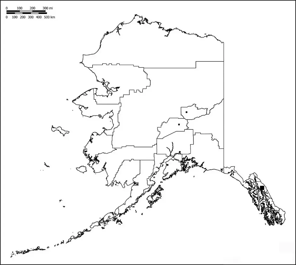
An Alaska Map Worksheet is a useful educational tool designed to help students explore and understand the geography of Alaska. Typically featuring a blank or unlabeled map, these worksheets encourage learners to identify and label major cities such as Anchorage, Fairbanks, and Juneau, along with important physical features like Denali, the Bering Sea, and other notable landmarks. By completing these activities, students can strengthen their map-reading skills, improve their geographic knowledge, and gain a better understanding of Alaska’s unique landscape.
Alaska Map Worksheets are commonly used by teachers to help students develop essential map-reading and geography skills. These worksheets often include activities such as labeling cities, rivers, mountain ranges, coastlines, and other important geographic features of Alaska. Designed to be interactive and engaging, they encourage students to explore the state's diverse landscapes and physical characteristics. As a result, Alaska map worksheets serve as valuable resources for classroom instruction, independent practice, and homework assignments, helping learners build a stronger understanding of Alaska’s geography.
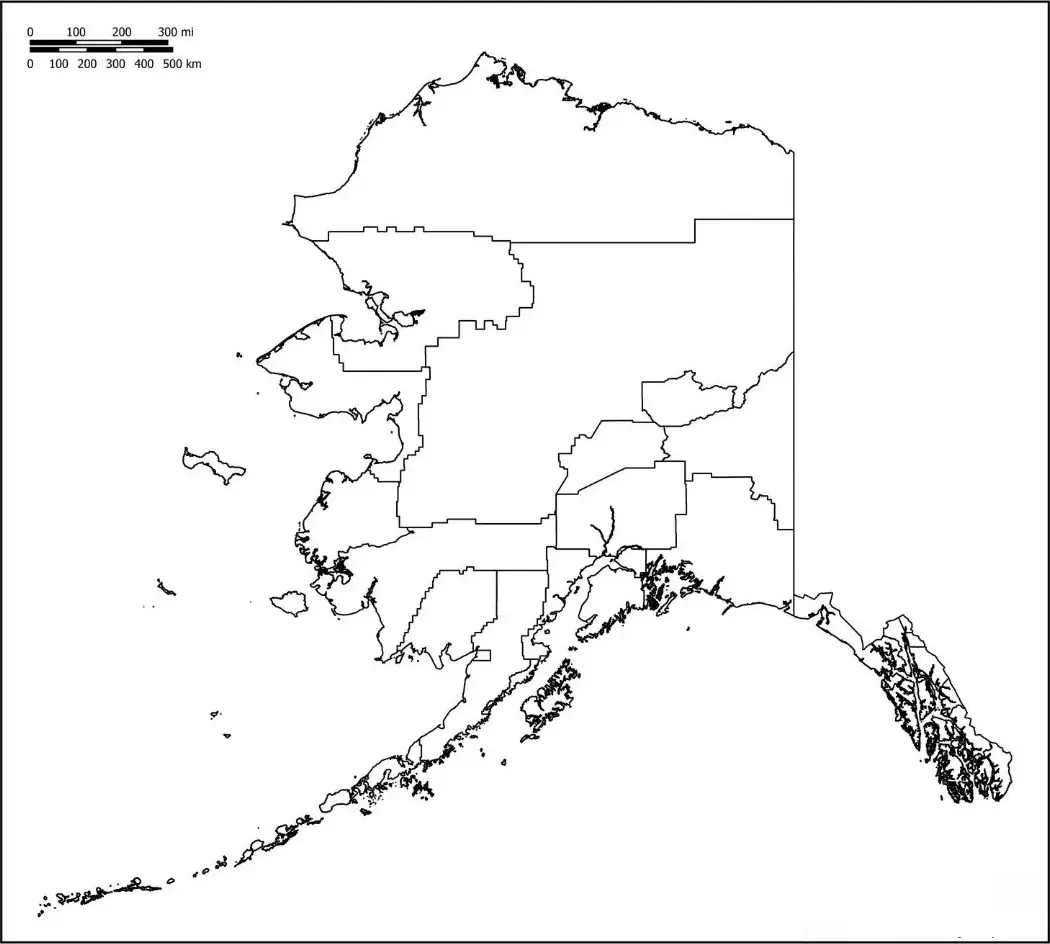
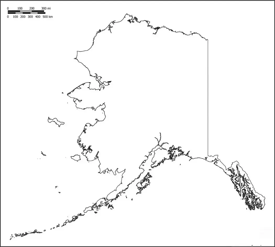
A Blank Alaska Map Outline is a simple, unlabeled representation of Alaska’s boundaries that serves as an effective tool for educational and geographic activities. Its clear format allows students, teachers, and researchers to identify and label important locations and physical features across the state. Users can mark major cities such as Anchorage, Fairbanks, and Juneau, as well as significant landmarks like Denali, rivers, national parks, mountain ranges, and surrounding bodies of water, including the Arctic Ocean.
The Blank Alaska Map Outline is frequently used by teachers in interactive classroom activities to help students learn about Alaska’s geography, regions, and political boundaries. By labeling locations and identifying key geographic features, students can develop a deeper understanding of the state’s layout and characteristics. These map outlines are effective tools for strengthening map-reading abilities, improving spatial awareness, and encouraging hands-on learning through engaging educational exercises.