Claiborne County, Tennessee

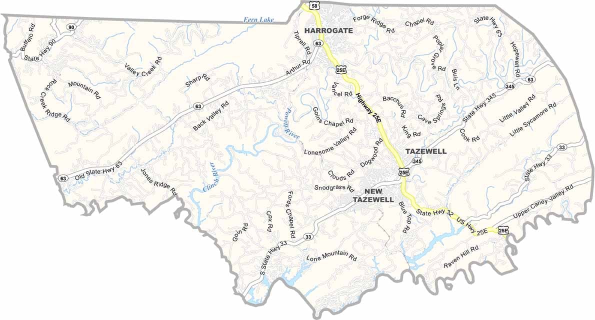
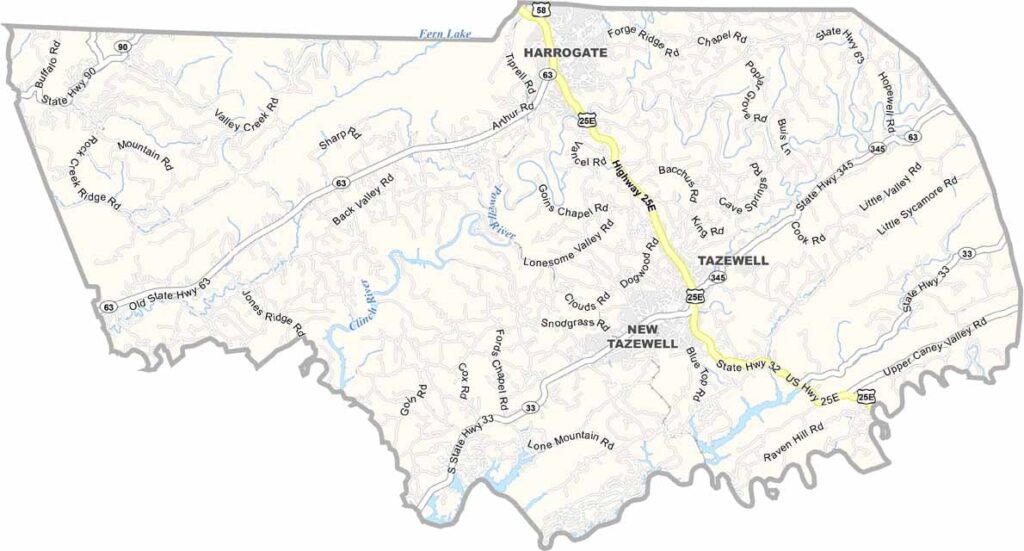
Claiborne County sits in the northeastern corner of Tennessee, right where the state borders Kentucky and Virginia. The landscape has a rugged, natural feel, with the Powell River winding through the county.

Cumberland Gap National Historical Park is one of the area’s biggest attractions, located near Harrogate. The historic route once served as a passage through the Appalachian Mountains for early pioneers.

Agriculture remains an important part of the local economy, with tobacco among the traditional crops. Residents take great pride in their Appalachian roots and traditions. Stop by a local diner and you’re likely to hear plenty of stories. Claiborne County brings together mountain history, outdoor adventure, and small-town charm.

CategoryDetails
County NameClaiborne County
County SeatTazewell
PopulationApproximately 32,000
Cities, Towns, and CommunitiesTazewell, New Tazewell, Harrogate, Cumberland Gap, Speedwell
Interstates and HighwaysU.S. Highway 25E, State Highway 63
FIPS Code47-025
Total Area (Land and Water)442 square miles (435 sq mi land, 7 sq mi water)
Adjacent Counties (and Direction)Bell County, Kentucky (North), Lee County, Virginia (Northeast), Hancock County (East), Grainger County (Southeast), Union County (Southwest), Campbell County (West), Whitley County, Kentucky (Northwest)
Time ZoneEastern Time Zone (EST)
StateTennessee
Coordinates36°27’N, 83°41’W
EtymologyNamed after William C.C. Claiborne, a prominent politician and first governor of Louisiana
Major LandmarksCumberland Gap National Historical Park, Norris Lake, Powell River
Scroll to Top