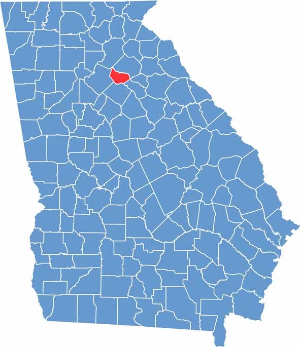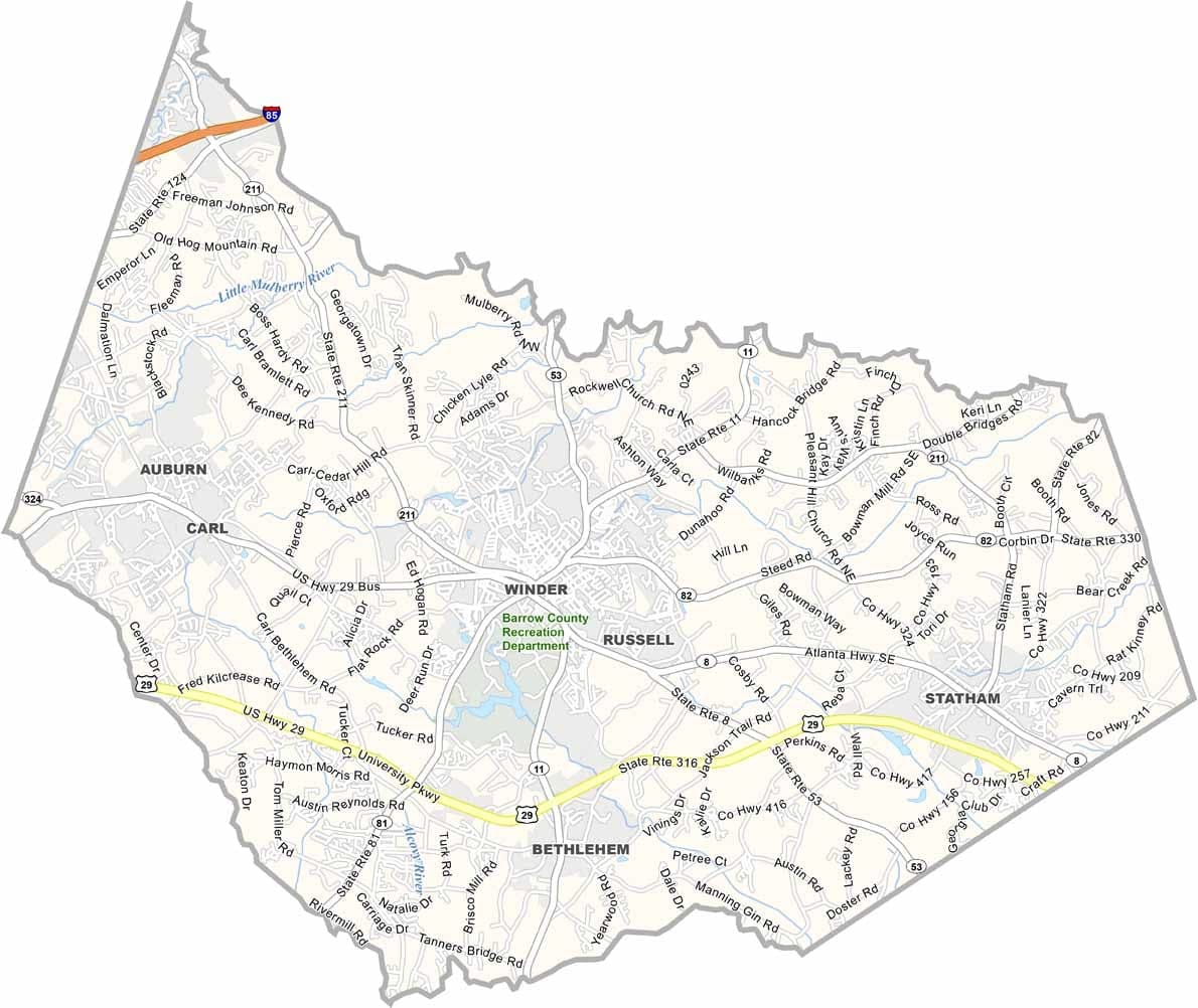
Located in Georgia’s Piedmont region, Barrow County lies northeast of Atlanta. It’s close enough to benefit from the metro area’s growth while still holding on to much of its small-town and rural character. Winder, the county seat, has experienced significant development in recent years.
Located in Georgia’s Piedmont region, Barrow County lies northeast of Atlanta. It’s close enough to benefit from the metro area’s growth while still holding on to much of its small-town and rural character. Winder, the county seat, has experienced significant development in recent years..
Outdoor recreation remains an important part of life here. Fort Yargo State Park offers opportunities for hiking, camping, and enjoying nature, while the Mulberry River provides a scenic setting for kayaking and other water activities when conditions allow.