
Wilkinson County, Georgia

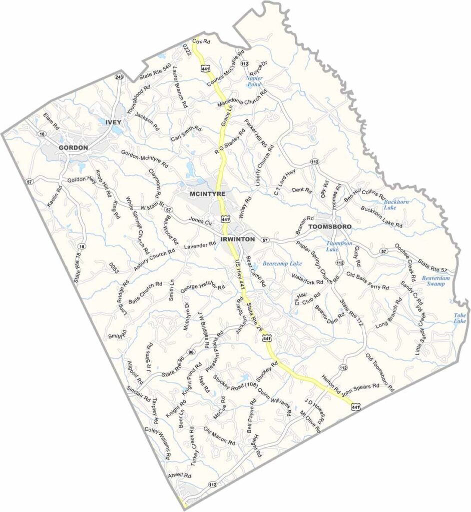
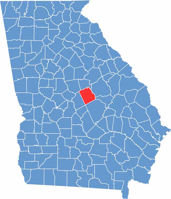
Wilkinson County is located in central Georgia, about 30 miles east of Macon. Irwinton, the county seat, sits near the center of the county and reflects the area’s quiet rural character and long-standing traditions.

Kaolin mining has been a driving force behind the local economy for decades, with the county’s distinctive white clay deposits supporting one of Georgia’s most important industries. The Oconee River forms the county’s eastern border, offering opportunities for fishing, boating, and enjoying the natural surroundings.

Wilkinson County has maintained its rural identity through generations, with small communities, farmland, and forests defining much of the landscape. While growth has been modest, the county continues to preserve its rich history, agricultural heritage, and authentic small-town atmosphere.

Wilkinson Location Map showing towns, roads, and geographic features in Georgia.
Category Details
County Name Wilkinson County
County Seat Irwinton
Cities, Towns, and Communities Irwinton (county seat), Gordon, and several unincorporated communities
Interstates and Highways U.S. Route 441, State Route 57
Etymology Named in honor of General James Wilkinson, a Revolutionary War officer
FIPS Code 13-319
Total Area (Land and Water) 757 square miles (land: 755 sq mi, water: 2 sq mi)
Time Zone Eastern Time Zone (ET)
State Georgia
Coordinates 32.8720° N, 83.2125° W
Major Landmarks Old Jail Museum, Oconee River, and the Wilkinson County Courthouse
Adjacent Counties (and Direction) Baldwin County (North), Bleckley County (South), Washington County (Northeast), Johnson County (East), Laurens County (Southeast), Twiggs County (Southwest), Jones County (Northwest)
Population Approximately 8,500
Scroll to Top





