
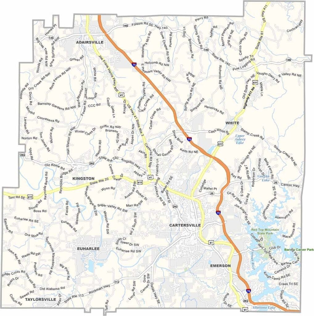
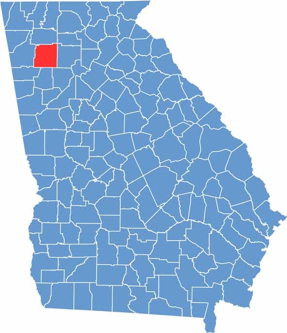
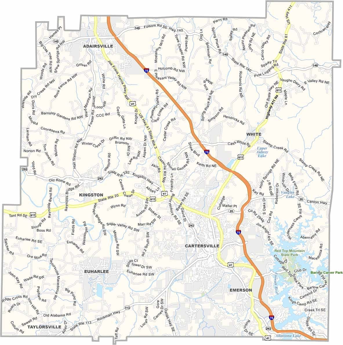
Bartow County is located in northwest Georgia, roughly an hour’s drive from Atlanta. Its county seat, Cartersville, has experienced steady growth while still maintaining much of its small-town character. The county was named after Francis Bartow, a Confederate colonel who was killed early in the Civil War.
Bartow County is also known for its rich natural resources, particularly its deposits of iron and manganese, which played an important role in the region’s development.
The county combines a welcoming small-town atmosphere with convenient access to the amenities of metropolitan Atlanta. Historic landmarks and modern growth coexist here, creating a blend of traditional and contemporary Georgia.
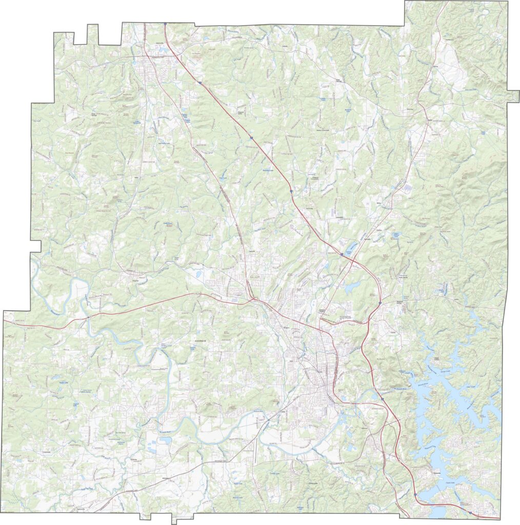
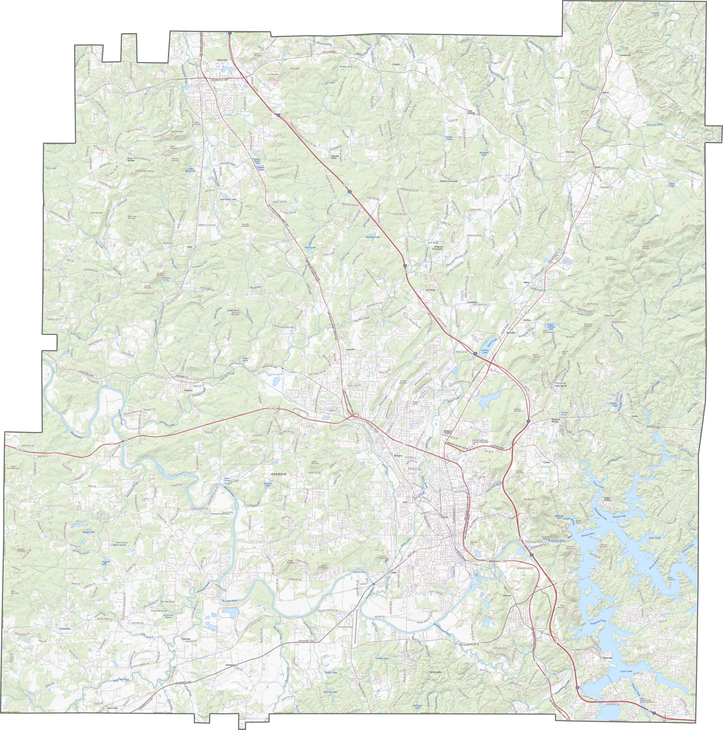
This Bartow County topographic map highlights a varied landscape of ridges, valleys, and the Etowah River basin. Cartersville sits in a relatively flat area, while Pine Mountain Recreation Area features some of the county’s most significant elevation changes, particularly in the southeast.
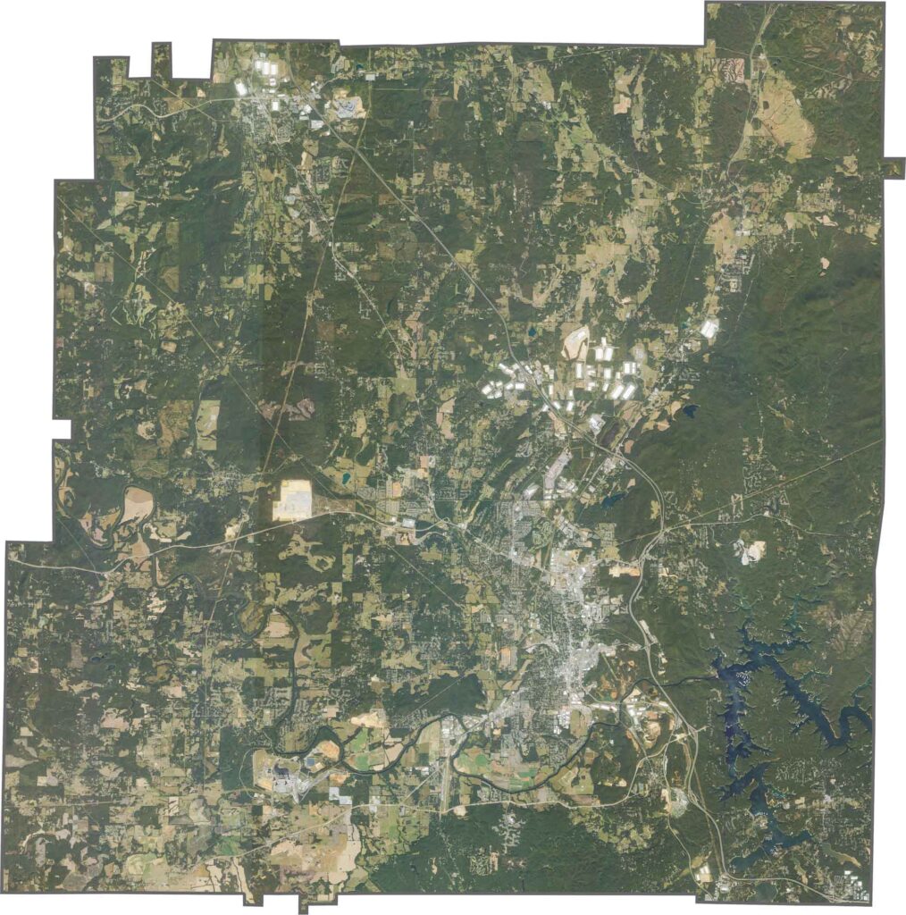
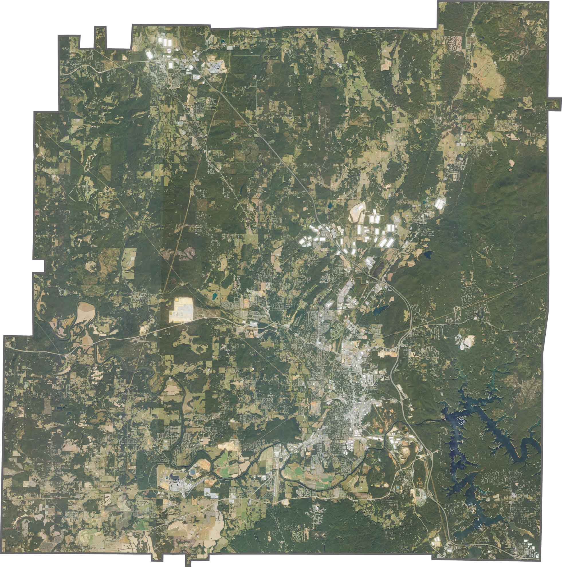
Our satellite map reveals Bartow County’s diverse land use and distinct geographic regions. The southeastern corner features the distinctive shoreline of Lake Allatoona, surrounded by numerous recreation areas. Western sections show quarries and areas shaped by mining activity, creating a noticeable contrast with the surrounding landscape.
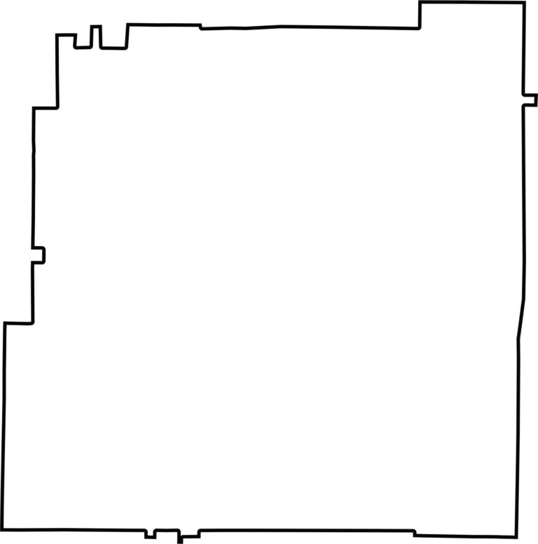
Bartow County has an irregular, roughly square shape with a narrower northern section. The county borders seven other counties, all located within Georgia. Its distinctive outline reflects the mix of natural features and historical boundary lines that shape the region.








Now available! Our Georgia county map highlights all 159 counties with exceptional detail and clarity. Whether you're exploring geography, planning a trip, or learning more about the Peach State, this comprehensive map is the resource you've been looking for. Discover Georgia like never before and explore every corner of the state.