
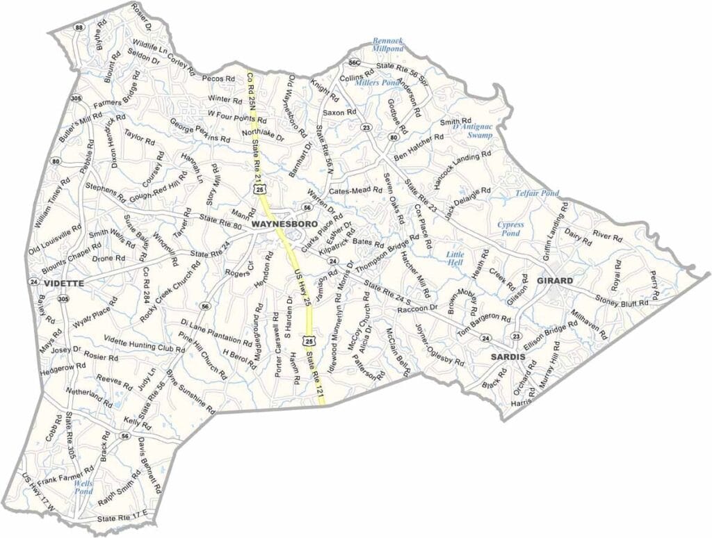
Burke County, Georgia

Located in eastern Georgia, Burke County is one of the state's largest counties by area. Waynesboro, the county seat, is a small town with a long and storied history.

The Savannah River forms the county’s eastern border with South Carolina. Named after Edmund Burke, a British statesman who supported the American colonies, Burke County has deep historical roots and a strong agricultural tradition centered on cotton farming.

Plant Vogtle is a major employer and economic driver for the region. Although modern industry plays an important role, much of the county remains rural, with farmland and small communities preserving its traditional South Georgia character.
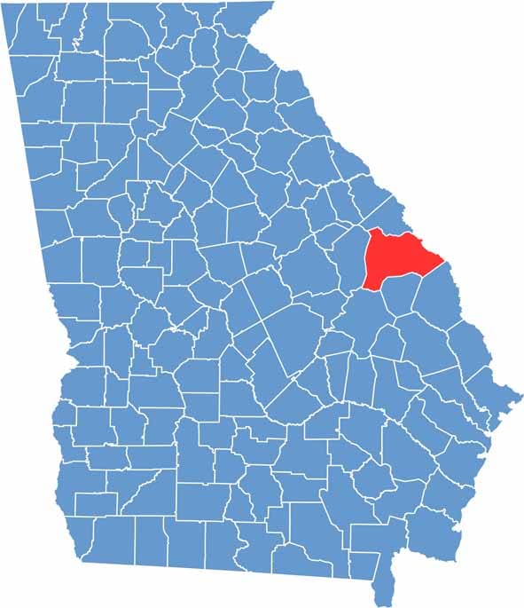

Burke County Location Map Georgia
Category Details
County Name Burke County
County Seat Waynesboro
Cities, Towns, and Communities Waynesboro, Sardis, Midville, and various smaller communities
Interstates and Highways US 25, US 80, and State Route 24
Etymology Named after Edmund Burke, a British statesman who supported the American colonies
FIPS Code 13-033
Total Area (Land and Water) 836 square miles (land: 825 sq mi, water: 11 sq mi)
Time Zone Eastern Time Zone (ET)
State Georgia
Coordinates 33.0846° N, 82.0119° W
Major Landmarks Table Rock Lake, Talking Rocks Cavern, Silver Dollar City, Shepherd of the Hills Fish Hatchery
Adjacent Counties (and Direction) Richmond County (North), Aiken County, South Carolina (Northeast), Barnwell County, South Carolina (Northeast), Allendale County, South Carolina (East), Screven County (Southeast), Jenkins County (South), Emanuel County (Southwest), Jefferson County (West)
Population Approximately 23,000
Scroll to Top




