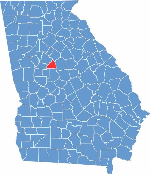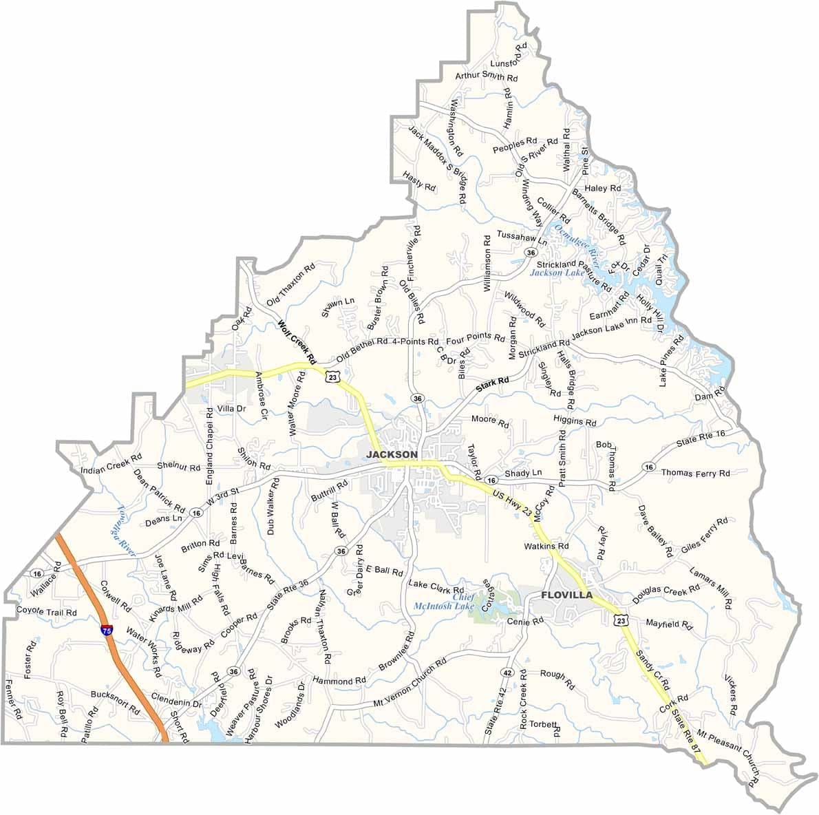
Butts County is located just southeast of Atlanta, offering a blend of small-town living and convenient access to the state's largest city. Jackson serves as the county seat, and the county takes its name from Samuel Butts, a military officer who was killed during the Creek War in 1814.
Indian Springs State Park is one of the county’s most popular attractions, known for its mineral springs, hiking trails, and outdoor recreation. The Ocmulgee River and Jackson Lake help define parts of the eastern boundary, adding scenic beauty and opportunities for fishing and boating.
Today, Butts County combines historic charm with steady growth. Jackson features well-preserved historic homes, while new residential developments continue to emerge near Interstate 75. The county remains a balance between its rural heritage and its increasingly connected future.