
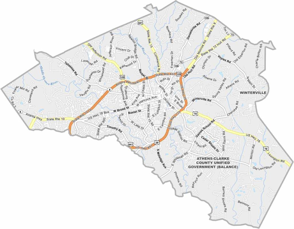
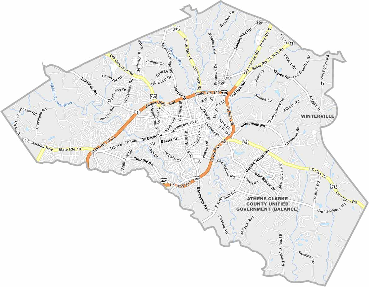
Clarke County is one of Georgia’s smaller and more urban counties, with Athens serving as its center. Athens is home to the University of Georgia and is known for its lively music scene, college-town atmosphere, and vibrant nightlife.
The county is named after Elijah Clarke, a Revolutionary War hero. Unlike many Georgia counties, Clarke County has relatively little farmland, with education, healthcare, business, and entertainment playing major roles in the local economy.
The Oconee River flows through the area, providing natural scenery and outdoor recreation within the urban landscape. Clarke County has a distinctive mix of college students, longtime residents, and university faculty, giving Athens and the surrounding community a youthful and eclectic character.
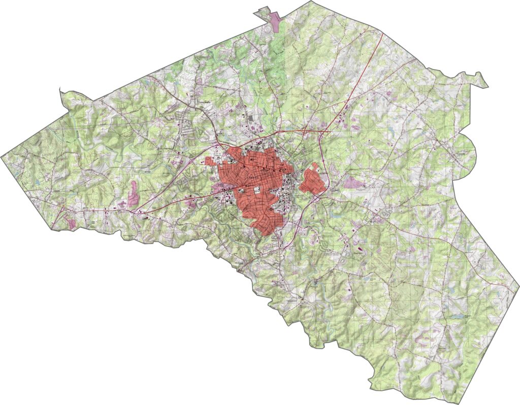
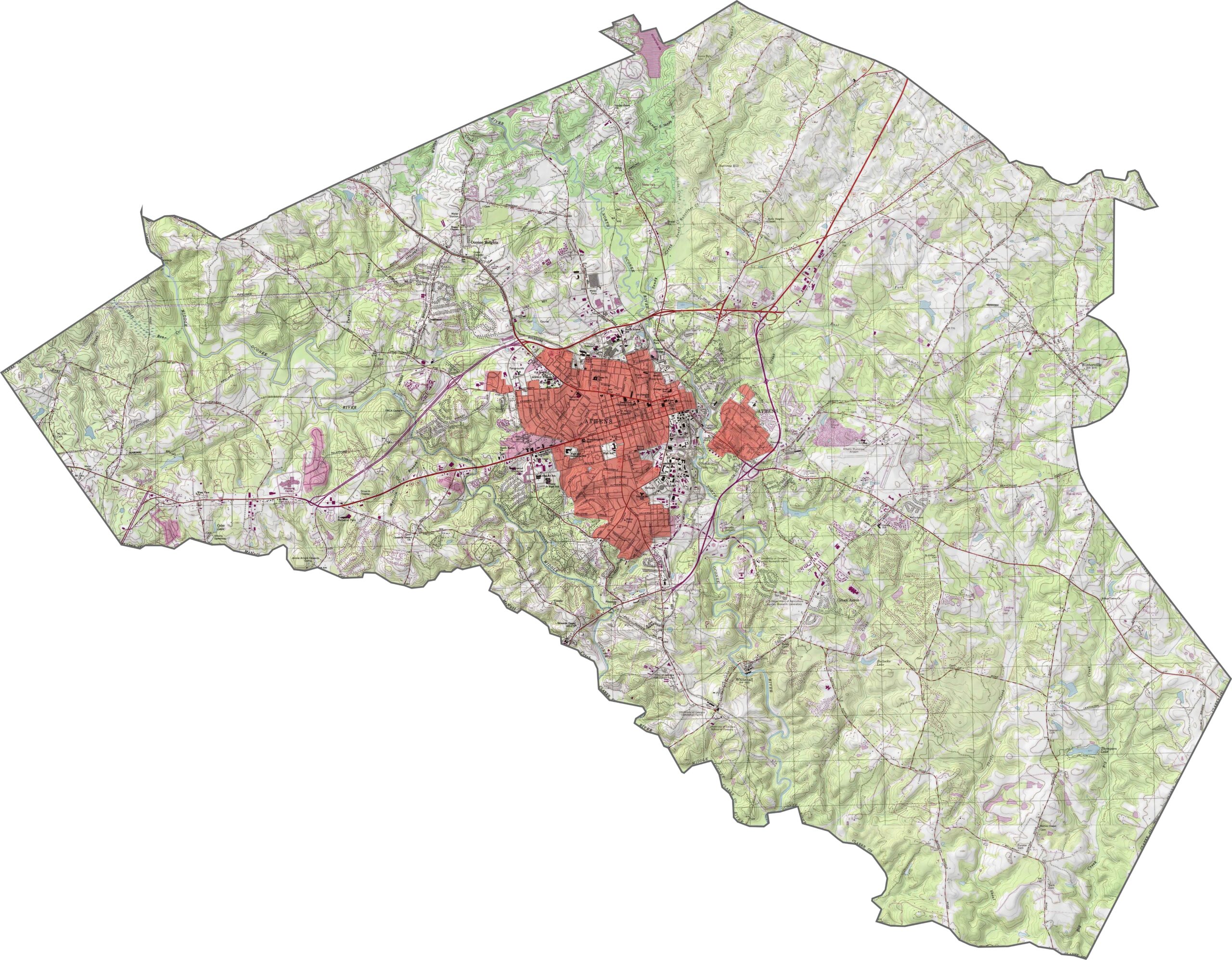
This Clarke County topographic map shows moderate hills and several creek valleys across the landscape. Athens sits on hilly terrain between the North Oconee and Middle Oconee rivers. Use our zoom tool to explore Sandy Creek Park and the rest of Clarke County.
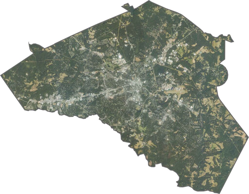
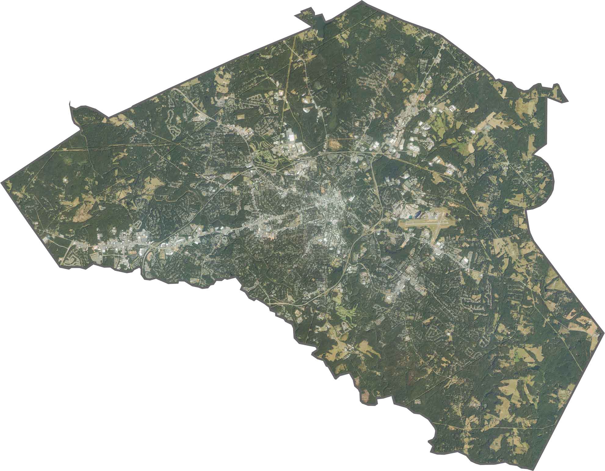
This satellite map reveals Clarke County’s compact urban core surrounded by green spaces. The western section features more residential development, while the State Botanical Garden provides a large green buffer within the surrounding urban landscape.
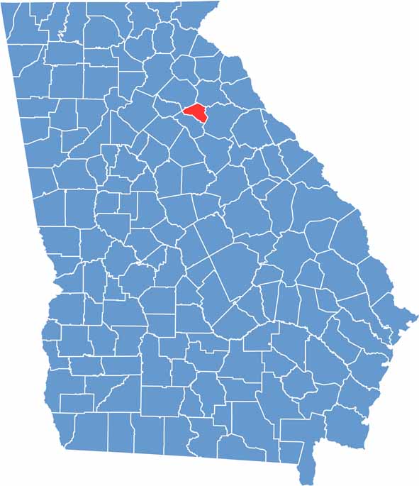
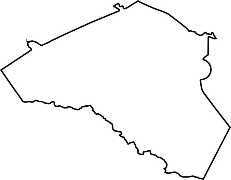
Clarke County has a small, roughly triangular shape. The Middle Oconee River forms much of the western edge, separating Clarke County from neighboring Oconee County.








Now available! Our Georgia county map highlights all 159 counties with exceptional detail and clarity. Whether you're exploring geography, planning a trip, or learning more about the Peach State, this comprehensive map is the resource you've been looking for. Discover Georgia like never before and explore every corner of the state.