
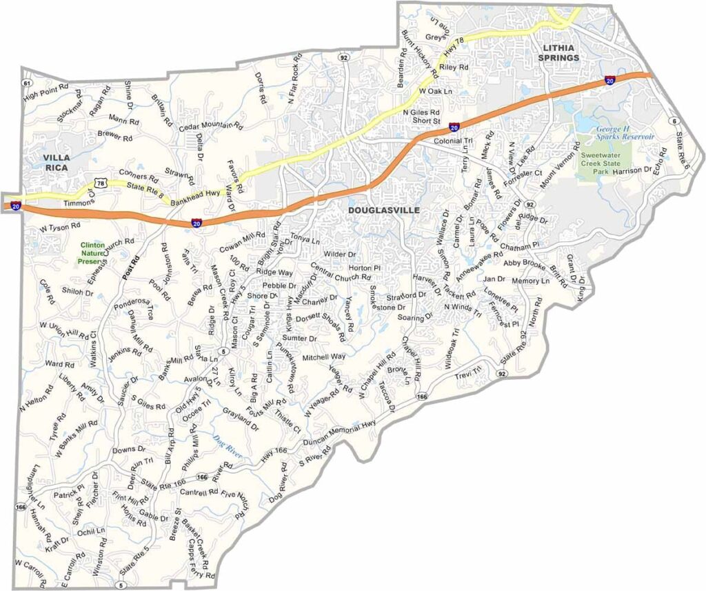
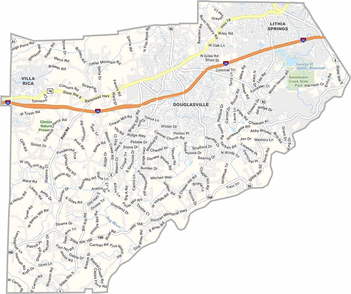
Douglas County is located just west of Atlanta, making it a popular suburban destination for commuters and families. Douglasville is both the county seat and the largest city in the county.
The county is home to Sweetwater Creek State Park, with George H. Sparks Reservoir nearby, offering opportunities for hiking, fishing, and outdoor recreation. Douglas County also played a role in the Civil War, and several historic sites remain preserved throughout the area. Rapid growth in recent years has brought new businesses, residents, and development to the county.
Dog River and Bear Creek provide peaceful spots for fishing, picnicking, and enjoying the outdoors. Despite its proximity to Atlanta, Douglas County maintains a strong sense of community. With rolling hills, numerous parks, and convenient access to the city, the county offers a balance of suburban living and natural beauty.

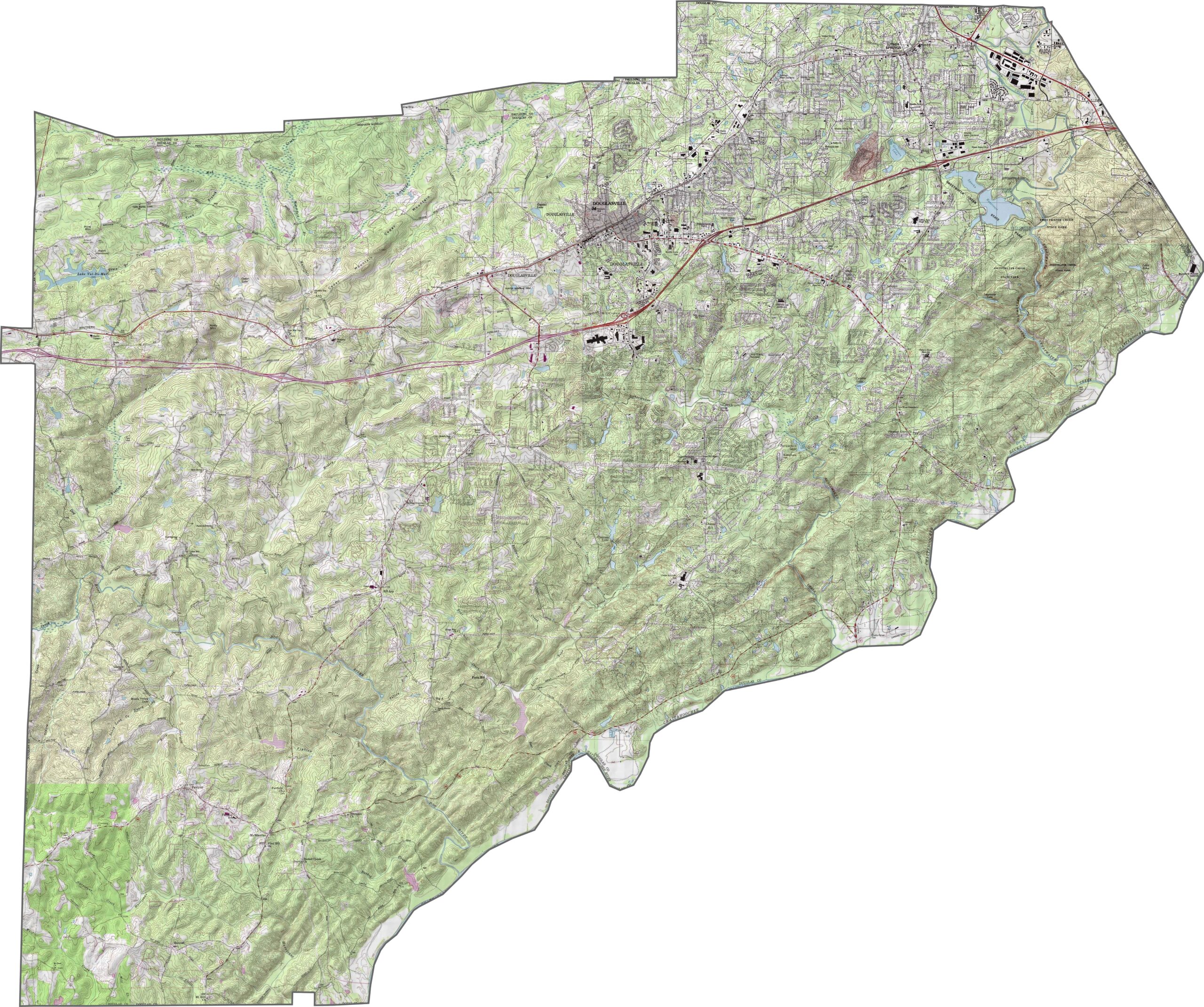
Douglas County features rolling hills, ridges, and valleys that define its topography. Steeper slopes and forested areas are more common in the northern part of the county, while flatter terrain is found around Douglasville. Use our zoom tool to explore Douglas County’s contours and surrounding landscape.
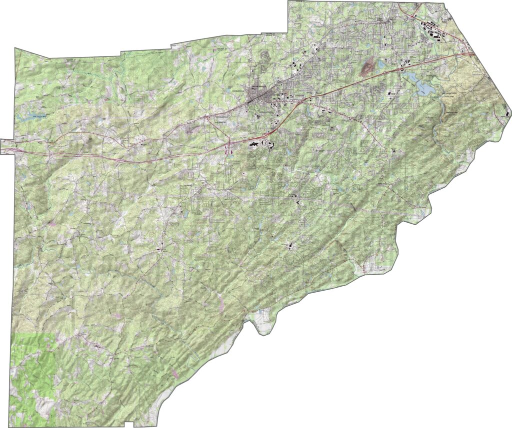
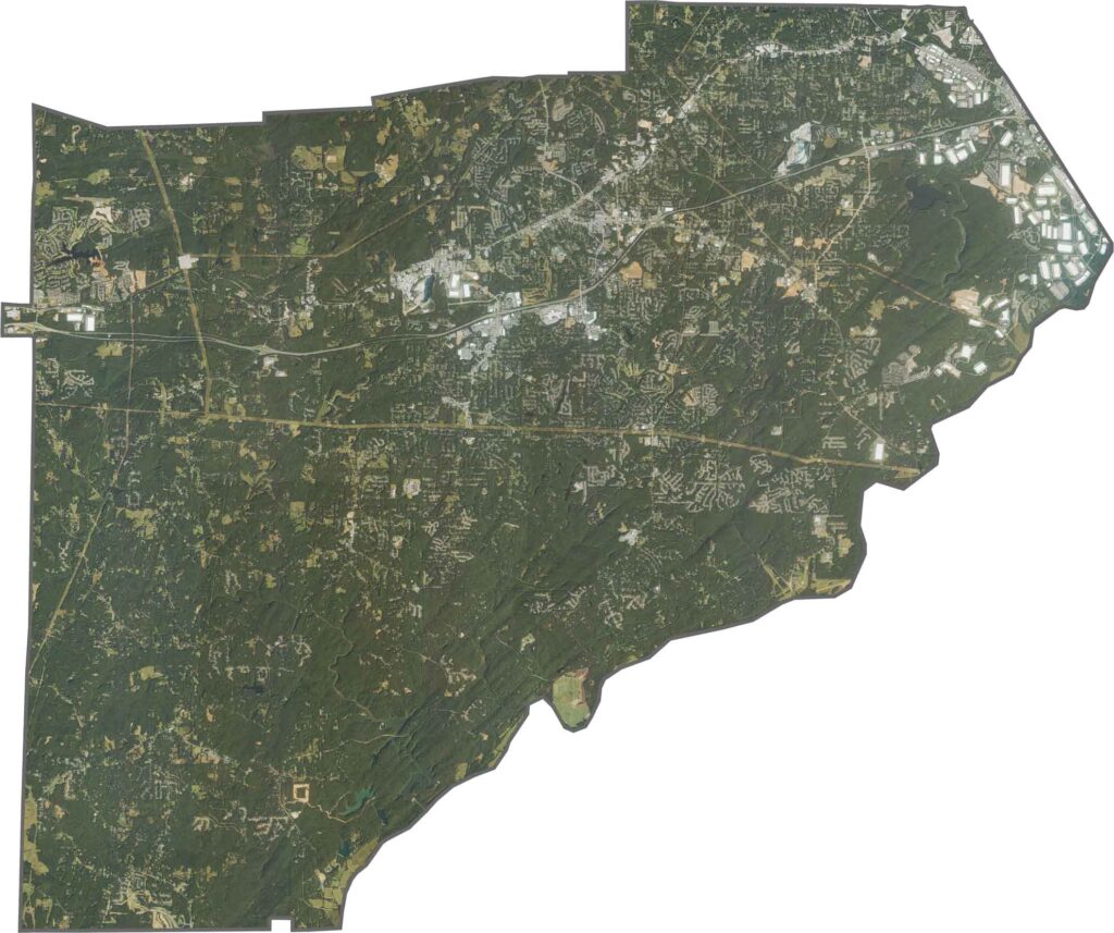
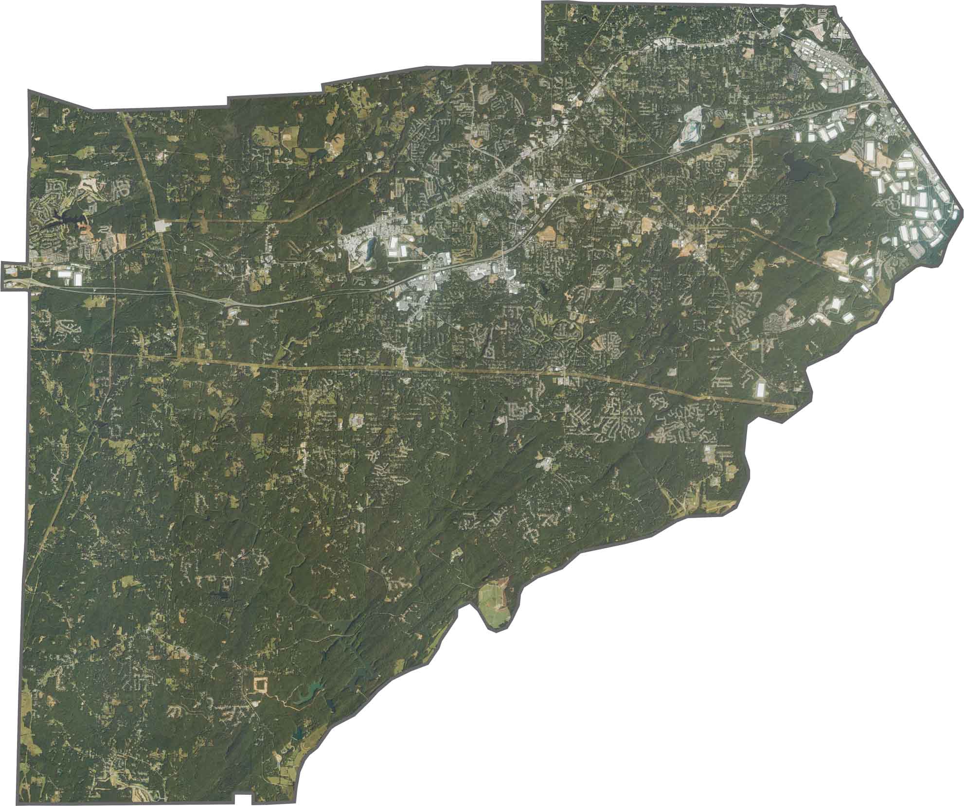
Douglas County transitions from suburban to rural settings as you move from northeast to southwest. The eastern half contains residential neighborhoods and shopping centers along Highway 20, while the southwestern portion features larger areas of forest with limited development.
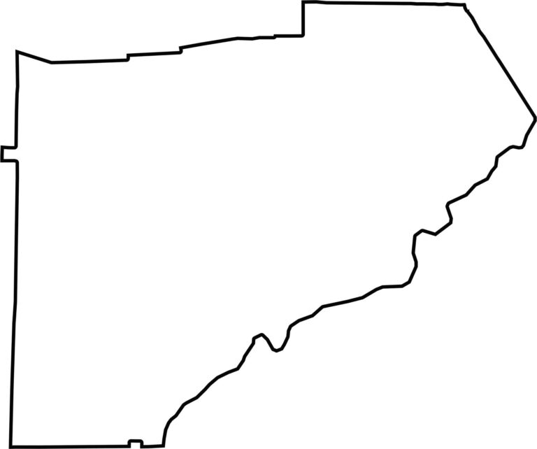
Douglas County has a roughly triangular shape. The Chattahoochee River forms much of the southern border, with numerous bends and inlets along its course. The western boundary is comparatively straight and runs mostly north to south.








Now available! Our Georgia county map highlights all 159 counties with exceptional detail and clarity. Whether you're exploring geography, planning a trip, or learning more about the Peach State, this comprehensive map is the resource you've been looking for. Discover Georgia like never before and explore every corner of the state.