
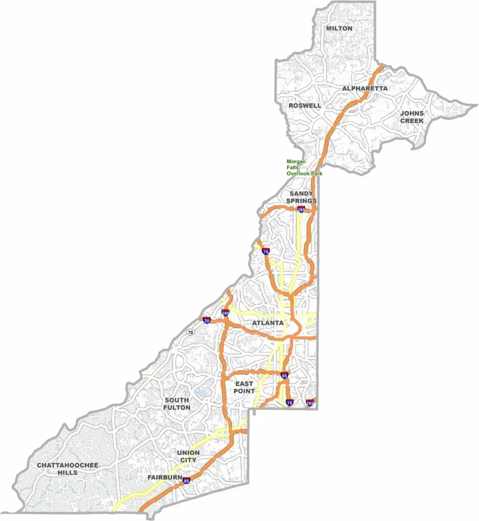
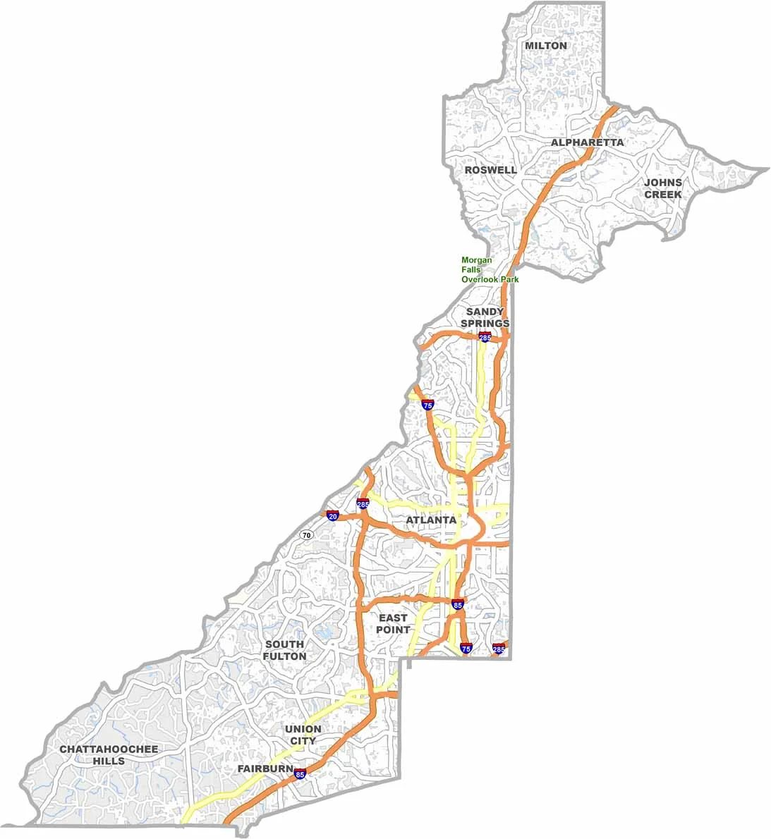
Fulton County is at the heart of Georgia, home to most of Atlanta, the state capital and largest city. The county stretches from the bustling neighborhoods of Midtown and downtown Atlanta to suburban communities such as Alpharetta, offering a wide range of urban and suburban lifestyles.
The county is home to major attractions including the Georgia Aquarium and the High Museum of Art. Atlanta’s professional sports teams, including the Braves and Falcons, are also closely tied to Fulton County. The local economy is one of the strongest in the state, with major corporations, businesses, and institutions based throughout the area.
Despite its urban character, Fulton County has plenty of parks and green spaces, including sections of the popular Atlanta BeltLine. The county also has a rich history, with important Civil War sites and Civil Rights landmarks. Hartsfield-Jackson Atlanta International Airport is located partly within Fulton County. From Atlanta’s urban core to the northern suburbs, Fulton County showcases the many sides of modern Georgia.
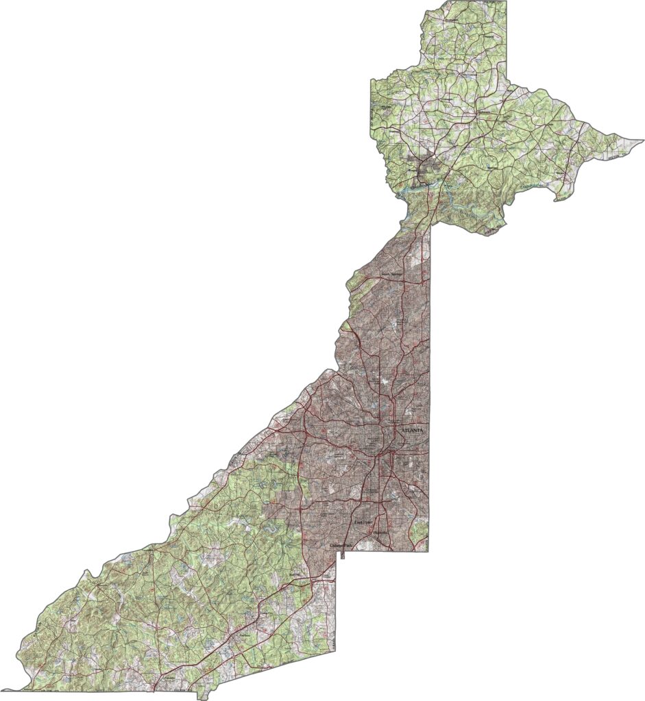
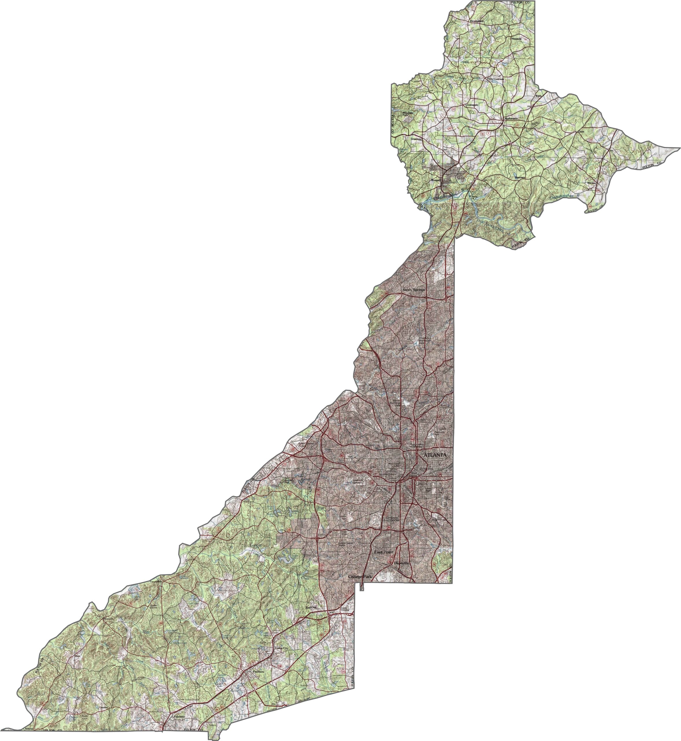
Our Fulton County topographic map shows everything from the Chattahoochee River valley to the surrounding Piedmont plateau. Atlanta occupies a series of ridges and hills, while the Chattahoochee River cuts through the northern part of the county.
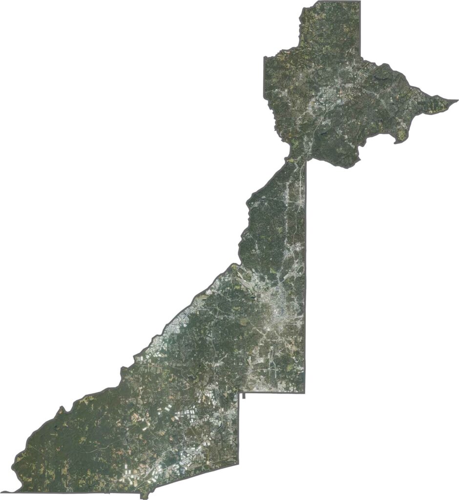
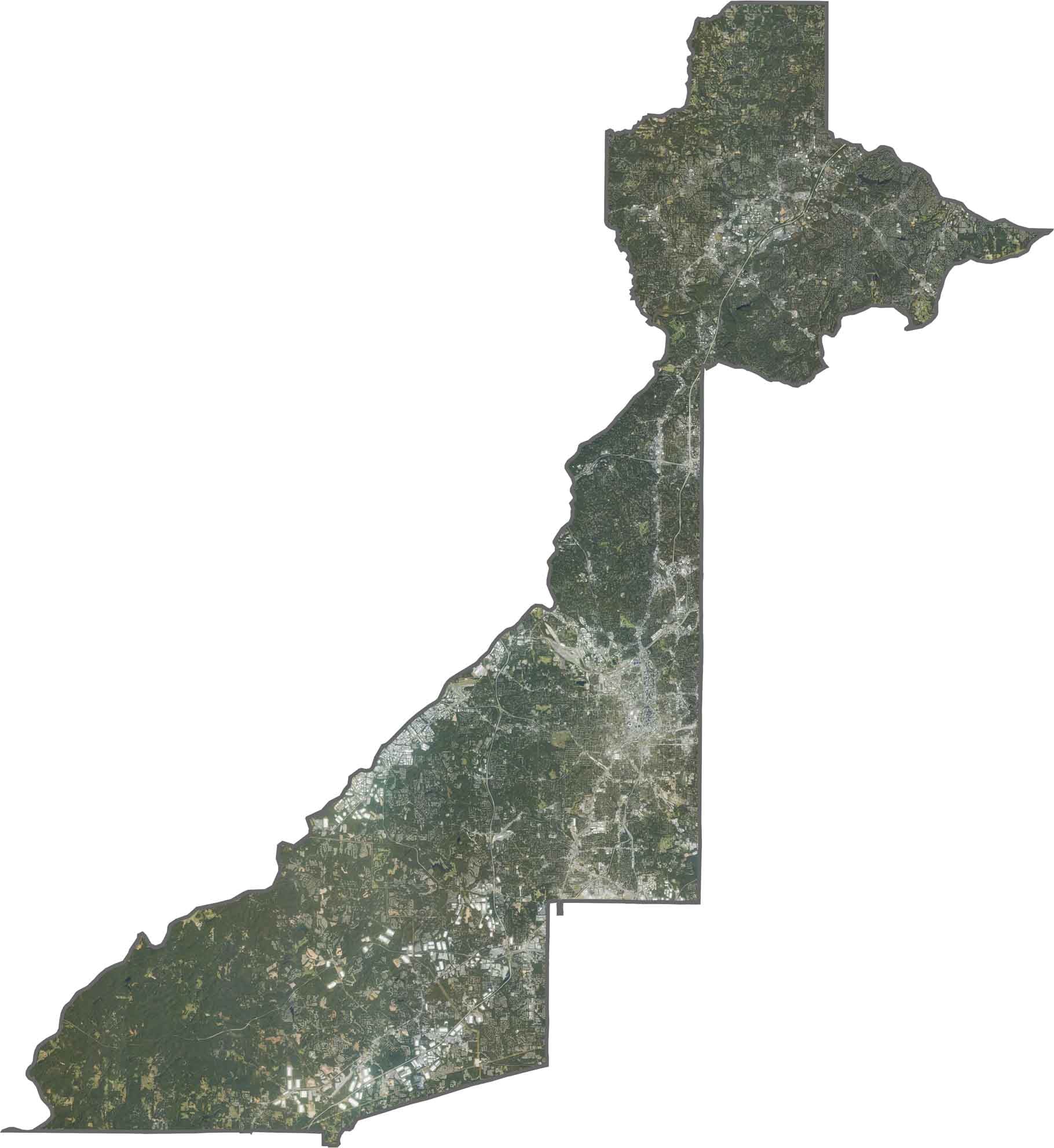
This satellite map highlights Fulton County’s mix of dense urban development and rural landscapes. The central region features Atlanta’s skyline and distinctive downtown grid pattern. Farther south, agricultural areas and forests create a more rural appearance despite being close to the city.
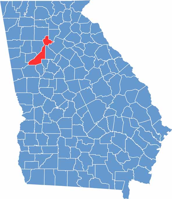
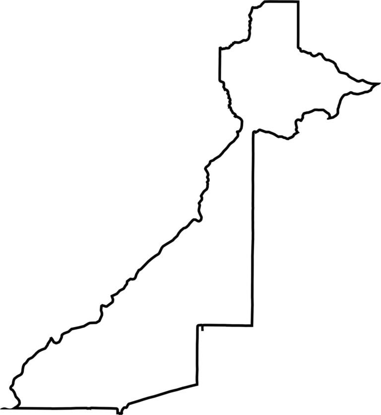
Fulton County has an extremely elongated shape stretching from north to south. The Chattahoochee River forms much of the western boundary, creating natural borders with Carroll, Douglas, and Cobb counties.








Now available! Our Georgia county map highlights all 159 counties with exceptional detail and clarity. Whether you're exploring geography, planning a trip, or learning more about the Peach State, this comprehensive map is the resource you've been looking for. Discover Georgia like never before and explore every corner of the state.