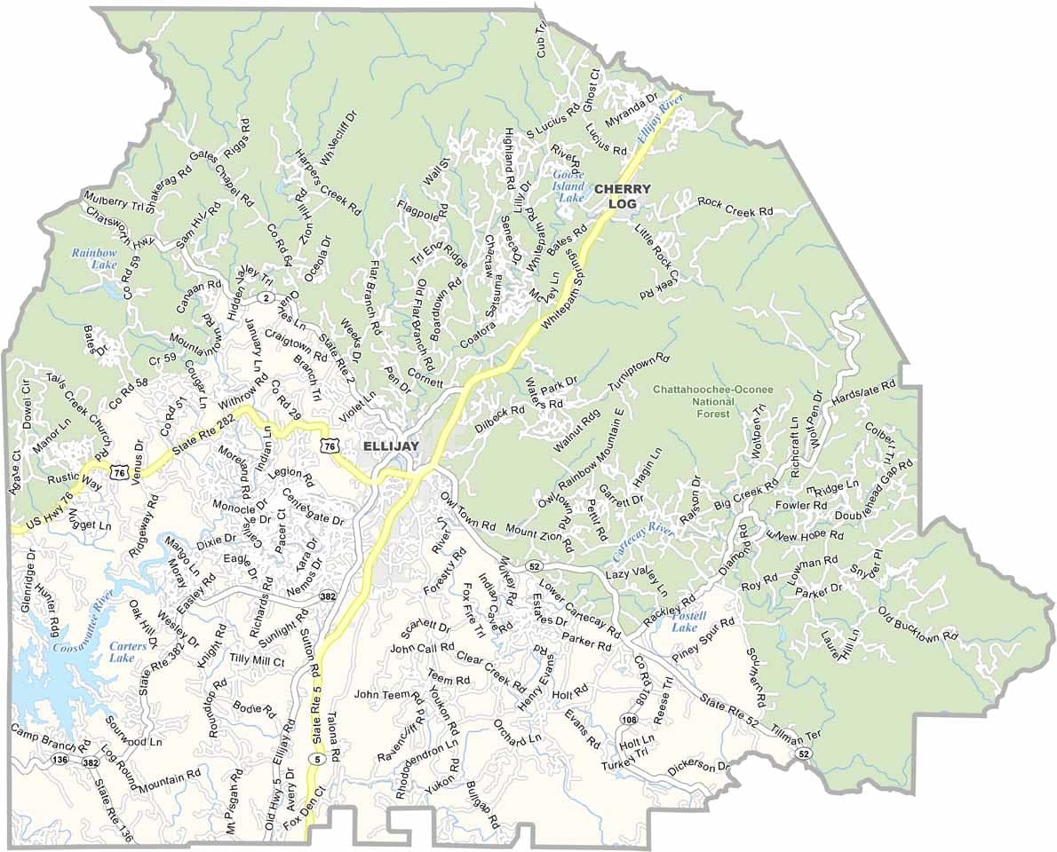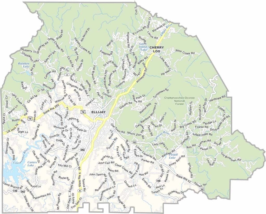
Gilmer County, Georgia

Gilmer County is nestled in the North Georgia mountains, with Ellijay serving as the county seat. Known as the “Apple Capital of Georgia,” the county is famous for its thriving apple orchards and the annual Georgia Apple Festival, which attracts thousands of visitors each fall.

The county’s rolling hills are dotted with orchards, vineyards, and scenic mountain views. Outdoor enthusiasts enjoy hiking trails throughout the region, including access to portions of the Appalachian Trail. The Coosawattee and Cartecay Rivers also provide popular destinations for kayaking, tubing, and fishing.

Gilmer County has experienced steady growth as more people are drawn to mountain living within reach of Atlanta. Its economy is supported by agriculture, tourism, and local businesses, while residents value the area’s relaxed pace and strong sense of community.
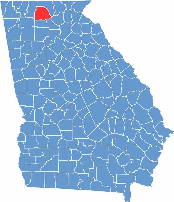

Gilmer County Location Map Georgia
Category Details
County Name Gilmer County
County Seat Ellijay
Cities, Towns, and Communities Ellijay (county seat), East Ellijay, Cherry Log, and several unincorporated communities
Interstates and Highways U.S. Route 76, State Route 5, State Route 282, State Route 515
Etymology Named in honor of George Rockingham Gilmer, a former politician and governor
FIPS Code 13-123
Total Area (Land and Water) 428 square miles (land: 427 sq mi, water: 1 sq mi)
Time Zone Eastern Time Zone (ET)
State Georgia
Coordinates 34.6864° N, 84.5114° W
Major Landmarks Amicalola Falls State Park, Rich Mountain Wilderness, Ellijay Apple Festival
Adjacent Counties (and Direction) Fannin County (North), Dawson County (Southeast), Pickens County (South), Gordon County (Southwest), Murray County (West)
Population Approximately 32,000
Scroll to Top