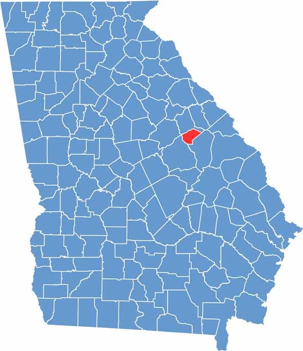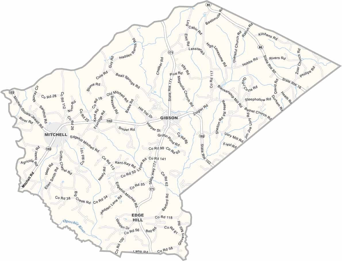
Glascock County is one of Georgia’s least populated counties, located in the east-central part of the state. Gibson, the county seat, is a small community that reflects the county’s rural character and strong sense of tradition. Established in 1857, Glascock County has a long history rooted in agriculture and small-town life.
Farming remains the backbone of the local economy, with cotton, peanuts, and other crops grown throughout the countryside. Community events, including the Glascock County Fair, bring residents together and highlight the close-knit nature of the county.
The Ogeechee River provides opportunities for fishing and outdoor recreation, while the county’s quiet landscapes offer a peaceful setting away from urban centers. Although Glascock County faces many of the challenges common to rural areas, its residents continue to value their strong community ties, hospitality, and enduring way of life.