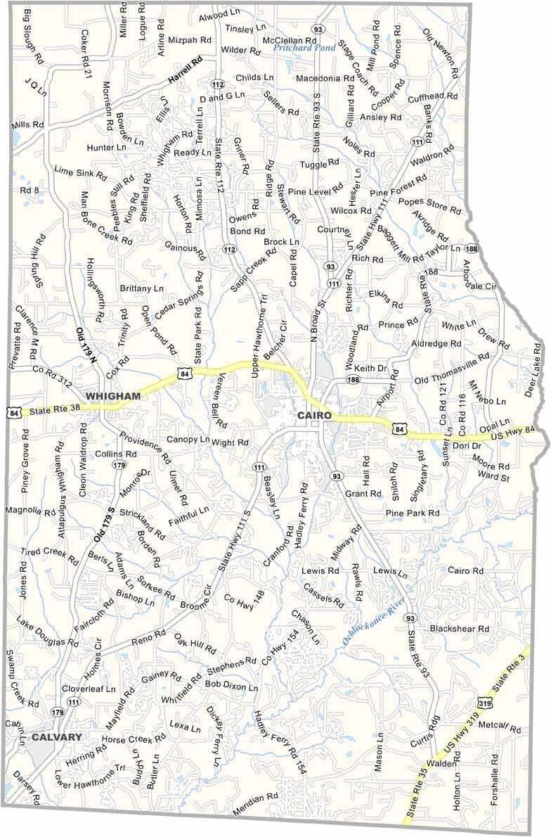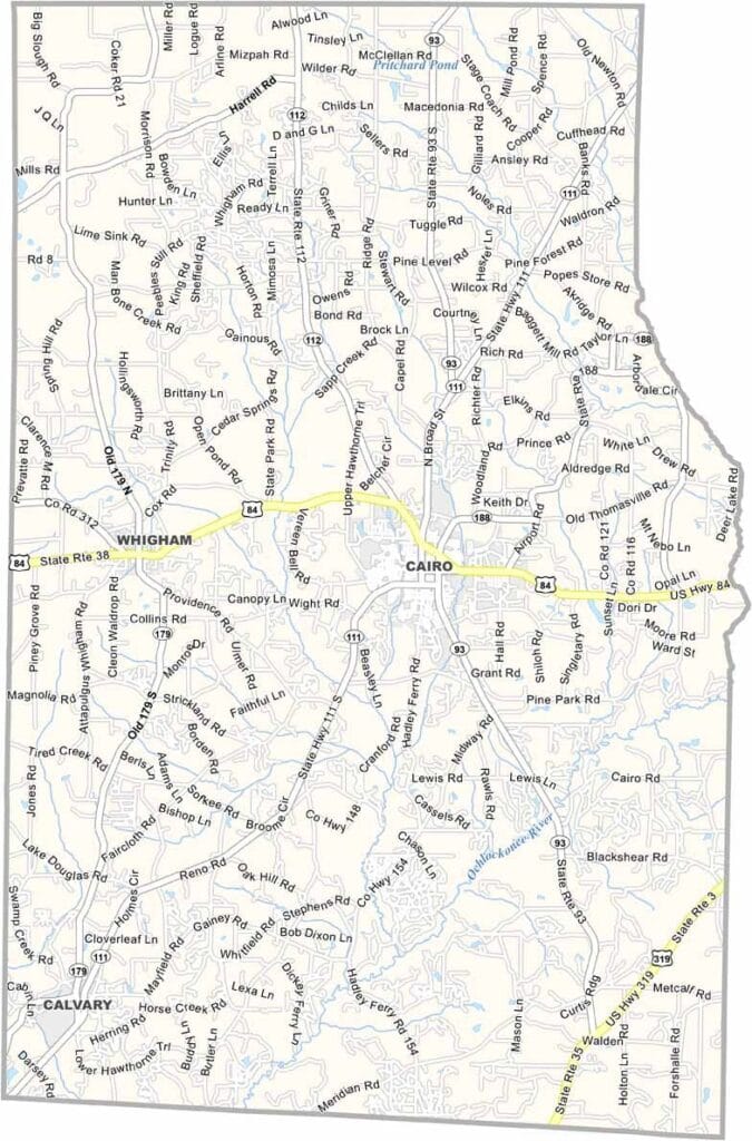
Grady County, Georgia

Grady County is located in southwestern Georgia, just north of the Florida border. Cairo, the county seat, is widely known as the “Syrup City” because of its long history of cane syrup production. The county’s small towns and rural landscapes reflect the traditional character of South Georgia.

Agriculture remains a vital part of the local economy, with farms producing crops such as cotton, peanuts, and pecans. Birdsong Nature Center provides opportunities to explore native wildlife and natural habitats, while Tired Creek Lake is a popular destination for fishing, boating, and outdoor recreation.

Although farming continues to play a major role, Grady County has worked to expand and diversify its economy in recent years. Its location near Tallahassee, Florida, offers residents convenient access to additional employment, education, and cultural opportunities.
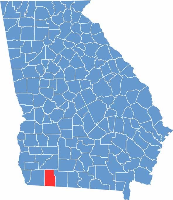

Grady County location map in Georgia.
Category Details
County Name Grady County
County Seat Cairo
Cities, Towns, and Communities Cairo (county seat), Whigham, Pine Park, and several unincorporated communities
Interstates and Highways U.S. Route 84, U.S. Route 319, State Route 93, State Route 111
Etymology Named in honor of Henry Grady, a prominent journalist and orator known for his advocacy of the New South
FIPS Code 13-131
Total Area (Land and Water) 460 square miles (land: 459 sq mi, water: 1 sq mi)
Time Zone Eastern Time Zone (ET)
State Georgia
Coordinates 30.8721° N, 84.2051° W
Major Landmarks Grady County Courthouse, the Cairo Historic District, Lake Authority Park
Adjacent Counties (and Direction) Mitchell County (North), Thomas County (East), Leon County, Florida (South), Gadsden County, Florida (Southwest), Decatur County (West)
Population Approximately 27,000
Scroll to Top