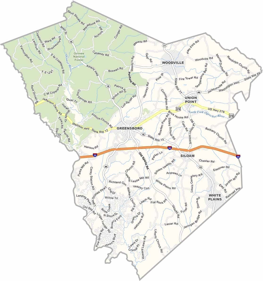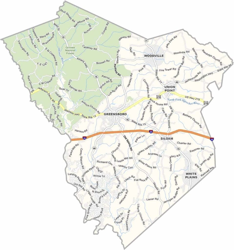
Greene County, Georgia

Greene County is located in the heart of Georgia’s Lake Country, with Greensboro serving as the county seat. Lake Oconee forms much of the county’s western boundary and is a major attraction, offering opportunities for fishing, boating, golf, and other outdoor activities.

The county’s rich history is reflected in its antebellum homes, historic districts, and preserved landmarks. While Greene County has deep agricultural roots, it has also become a popular destination for retirees and visitors.

Agriculture continues to contribute to the local economy through dairy farming, timber production, and other agricultural activities. Community events such as the Dairy Festival celebrate this heritage, while nearby outdoor areas provide additional recreation.
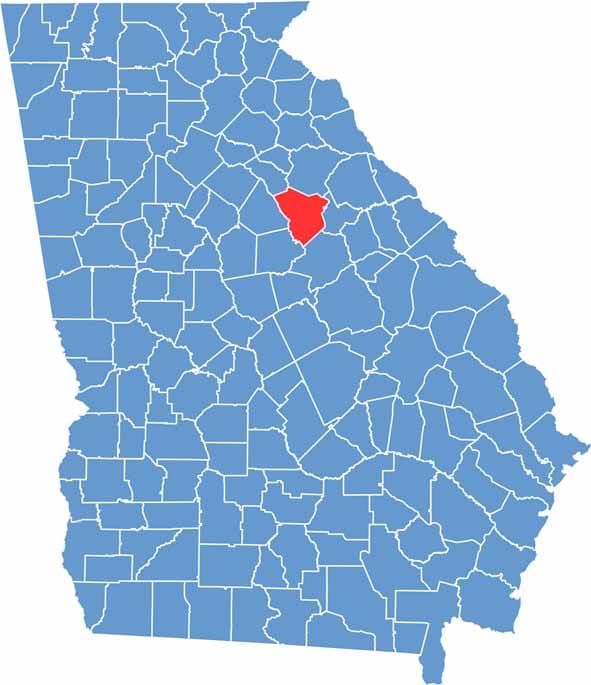

Greene County location map in Georgia.
Category Details
County Name Greene County
County Seat Greensboro
Cities, Towns, and Communities Greensboro (county seat), Union Point, and several unincorporated communities
Interstates and Highways U.S. Route 278, State Route 12, State Route 44
Etymology Named in honor of Nathanael Greene, a major general in the American Revolutionary War
FIPS Code 13-133
Total Area (Land and Water) 396 square miles (land: 388 sq mi, water: 8 sq mi)
Time Zone Eastern Time Zone (ET)
State Georgia
Coordinates 33.5730° N, 83.1833° W
Major Landmarks Lake Oconee, the historic courthouse in Greensboro, and the Greensboro Historic District
Adjacent Counties (and Direction) Oglethorpe County (North), Taliaferro County (East), Hancock County (Southeast), Putnam County (Southwest), Morgan County (West), Oconee County (Northwest)
Population Approximately 19,000
Scroll to Top