

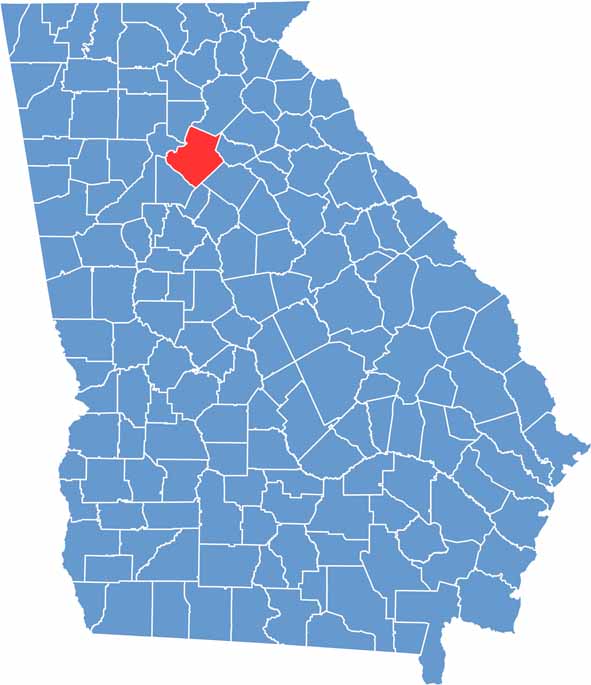
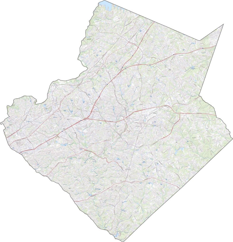
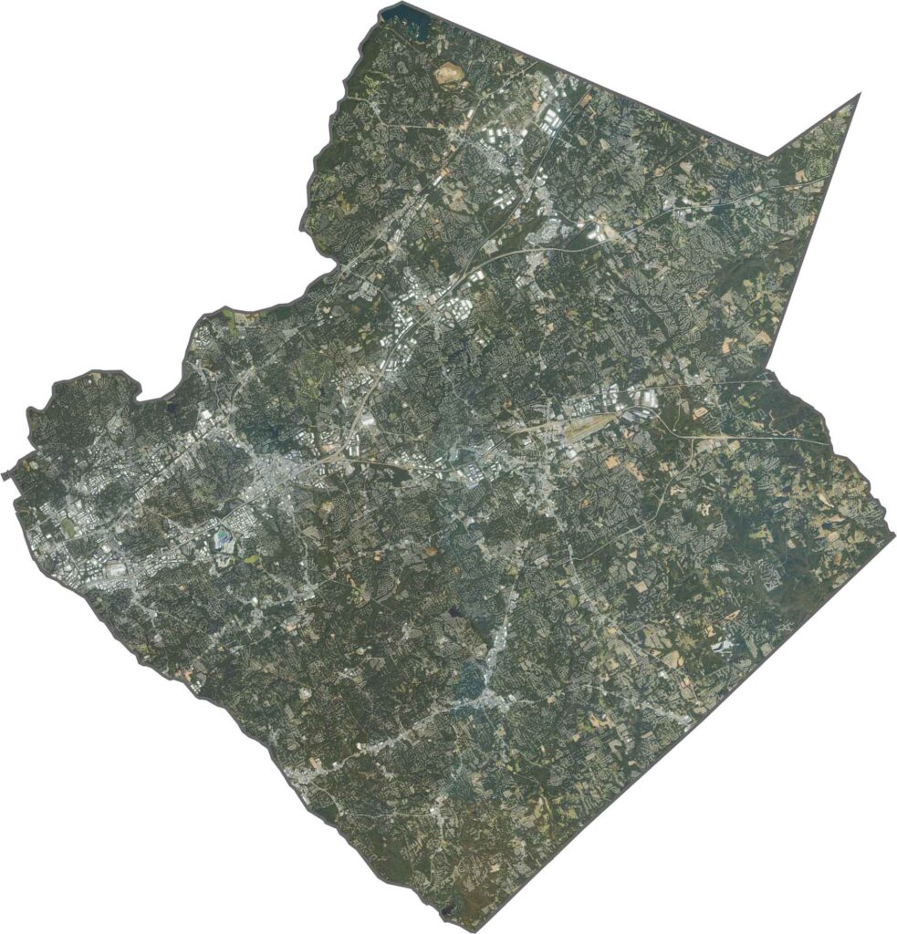
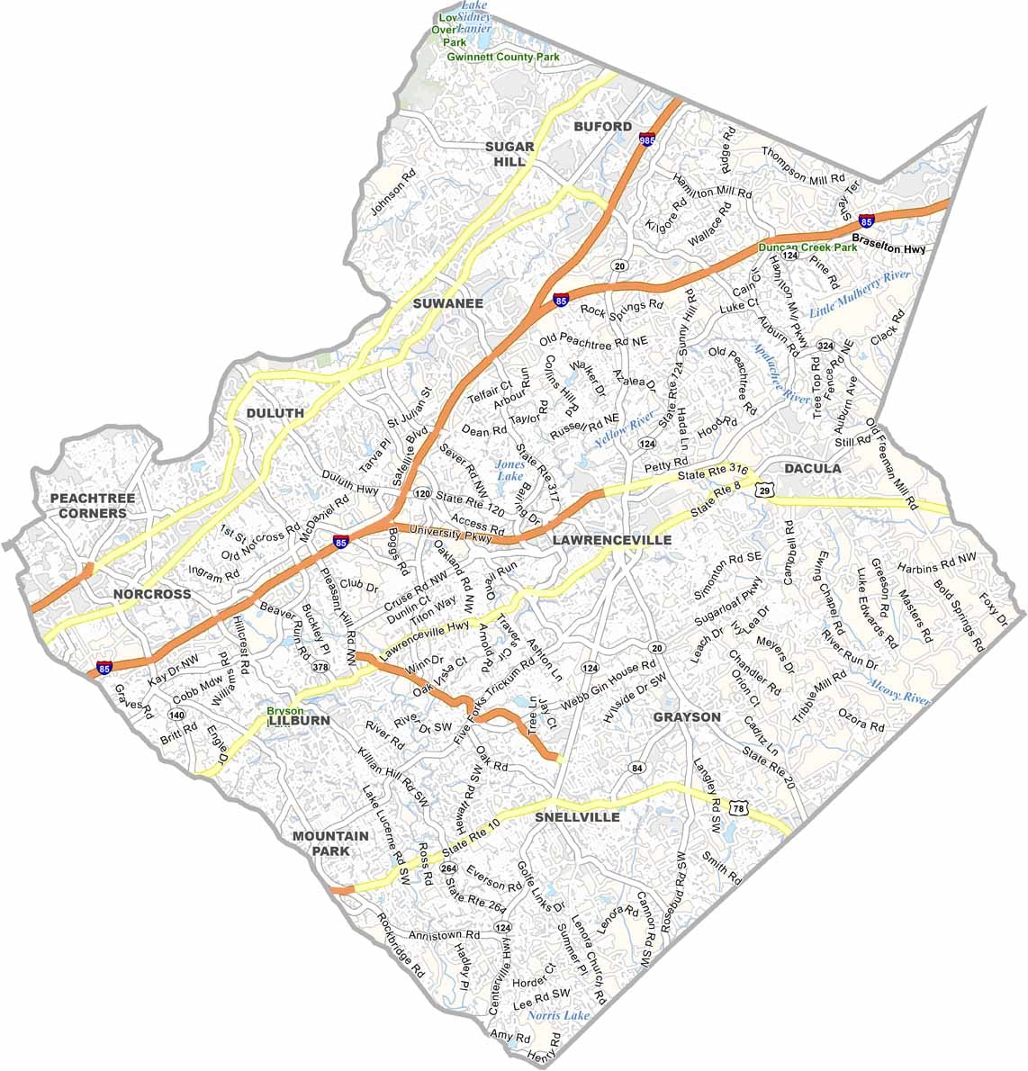
Gwinnett County has experienced dramatic population growth over the past few decades and is now one of Georgia’s most populous and diverse counties. The county stretches from Atlanta’s northeastern suburbs toward the shores of Lake Lanier.
Gwinnett’s highly regarded schools, strong job opportunities, and convenient location continue to attract families and businesses. The county is also known for its diverse restaurant scene, with cuisines from around the world reflecting its multicultural population. Major entertainment venues host concerts, sporting events, and community gatherings throughout the year.
Despite rapid development, Gwinnett County still has pockets of rural character around communities such as Grayson and Dacula. Stone Mountain Park is also nearby along the county’s western side. From busy shopping districts and business centers to quiet residential neighborhoods, Gwinnett County offers a suburban lifestyle with a wide range of amenities.
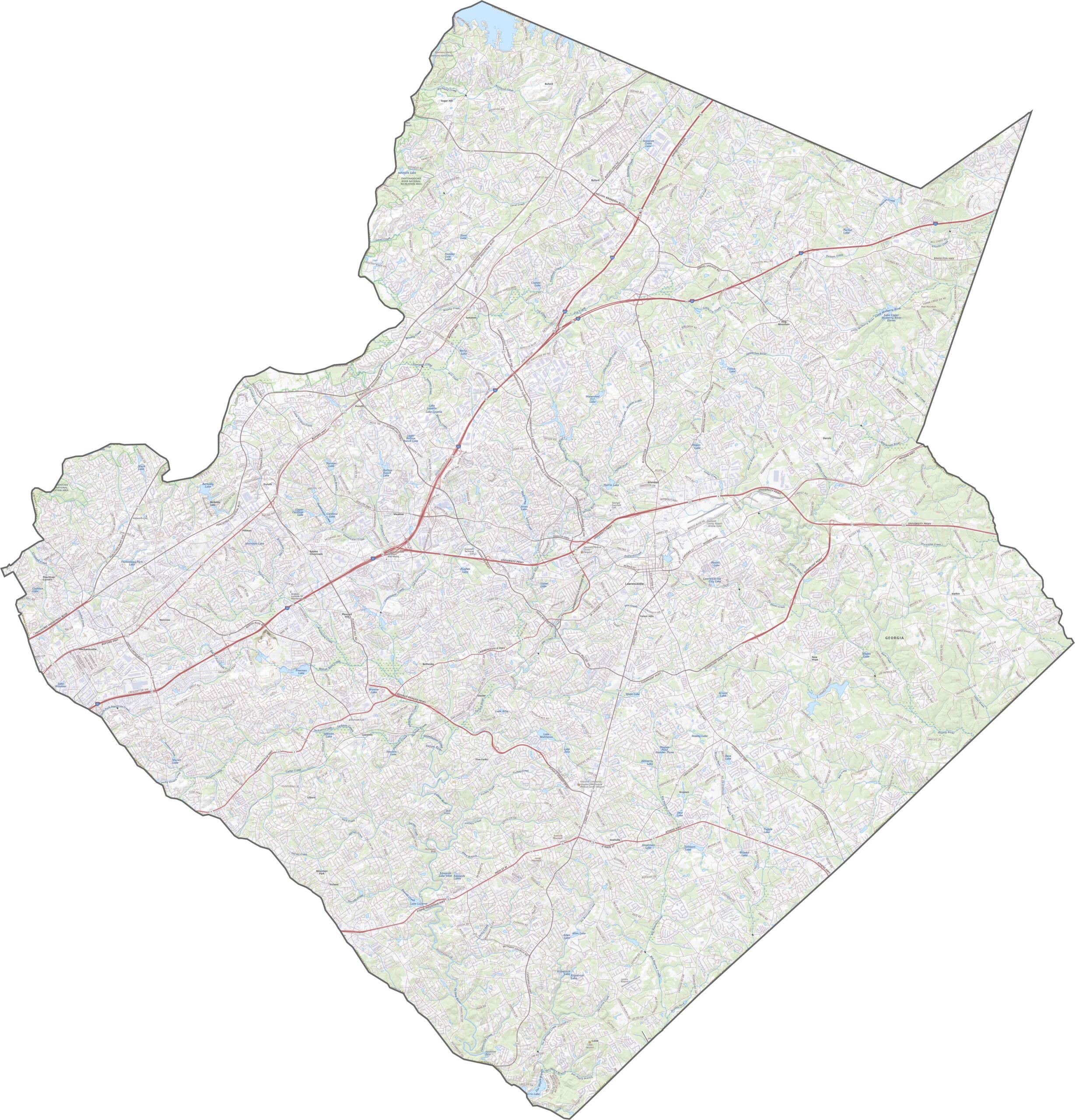
This topographic map highlights the gently rolling landscape of Bibb County, shaped by the Ocmulgee River and its surrounding valley. Macon is situated where several creeks converge before joining the Ocmulgee, making waterways a defining feature of the county’s geography. Explore the map using the zoom tool to get a closer look at the area’s rivers, lakes, parks, and natural landmarks.
This topographic map highlights the gently rolling landscape of Bibb County, shaped by the Ocmulgee River and its surrounding valley. Macon is situated where several creeks converge before joining the Ocmulgee, making waterways a defining feature of the county’s geography. Explore the map using the zoom tool to get a closer look at the area’s rivers, lakes, parks, and natural landmarks.
This topographic map highlights the gently rolling landscape of Bibb County, shaped by the Ocmulgee River and its surrounding valley. Macon is situated where several creeks converge before joining the Ocmulgee, making waterways a defining feature of the county’s geography. Explore the map using the zoom tool to get a closer look at the area’s rivers, lakes, parks, and natural landmarks.








Now available! Our Georgia county map highlights all 159 counties with exceptional detail and clarity. Whether you're exploring geography, planning a trip, or learning more about the Peach State, this comprehensive map is the resource you've been looking for. Discover Georgia like never before and explore every corner of the state.