Laurens County, Georgia

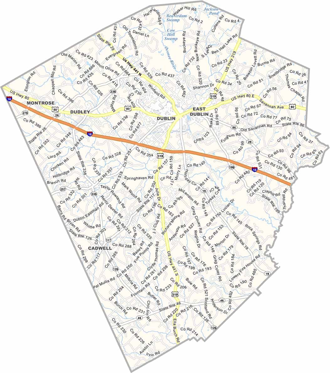
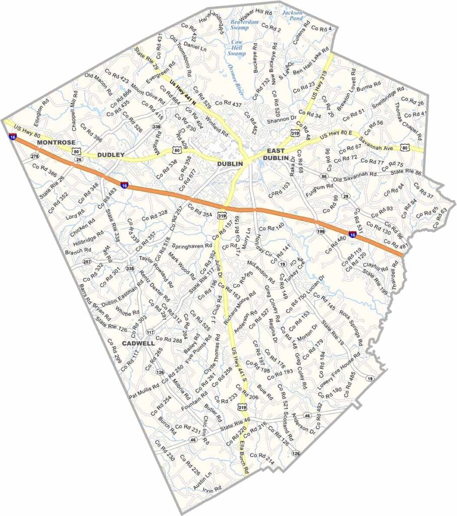
Laurens County is located in the heart of central Georgia, roughly halfway between Macon and Savannah. Its county seat, Dublin, serves as the county's cultural and commercial center.

Established in 1807, Laurens County boasts a rich history that is reflected in its well-preserved antebellum homes, historic cotton warehouses, and charming downtown districts. The Oconee River flows through the county, while Interstate 16 provides convenient access for travelers exploring the region.

Agriculture remains a cornerstone of the local economy, with peanuts, cotton, and timber among the county's leading industries. Each year, Dublin hosts an extended St. Patrick's Day celebration featuring weeks of parades, concerts, and community events, making it one of Georgia's most distinctive festivals.
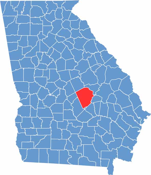

Laurens location map showing its position in Georgia.
Category Details
County Name Laurens County
County Seat Dublin
Cities, Towns, and Communities Dublin (county seat), East Dublin, and other small communities
Interstates and Highways Interstate 16, U.S. Route 80, U.S. Route 441, State Route 19
Etymology Named after Colonel John Laurens
FIPS Code 13-175
Total Area (Land and Water) 811 square miles (land: 794 sq mi, water: 17 sq mi)
Time Zone Eastern Time Zone (ET)
State Georgia
Coordinates 32.5392° N, 82.9304° W
Major Landmarks Laurens County Historical Society Museum, Dublin Historic District
Adjacent Counties (and Direction) Johnson County (Northeast), Treutlen County (East), Wheeler County (South), Dodge County (Southwest), Bleckley County (West), Wilkinson County (Northwest), Twiggs County (Northwest)
Population Approximately 49,600
Scroll to Top