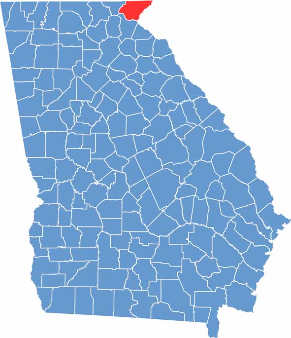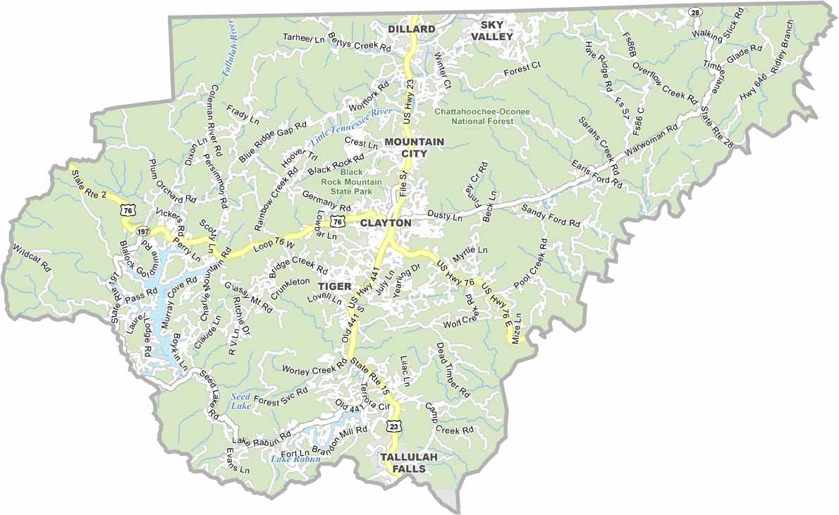
Rabun County is located in Georgia’s northeastern corner, where the Blue Ridge Mountains create some of the state's most spectacular scenery. Established in 1819, the county is a favorite destination for outdoor enthusiasts, offering a blend of mountain landscapes, scenic lakes, and charming small towns.
Natural beauty is the defining feature of Rabun County. Tallulah Gorge State Park is one of Georgia’s most iconic attractions, featuring dramatic cliffs, waterfalls, and miles of scenic hiking trails. The county is also home to Lake Burton and Lake Rabun, both popular destinations for boating, fishing, paddling, and lakeside relaxation.
Rabun County proudly preserves its Appalachian heritage through local artisan shops, traditional music, and community festivals. Throughout the year, visitors can enjoy bluegrass performances, handcrafted goods, and regional cuisine that reflect the area's mountain culture. Abundant wildlife, including black bears, white-tailed deer, and a variety of bird species, adds to the county’s appeal.