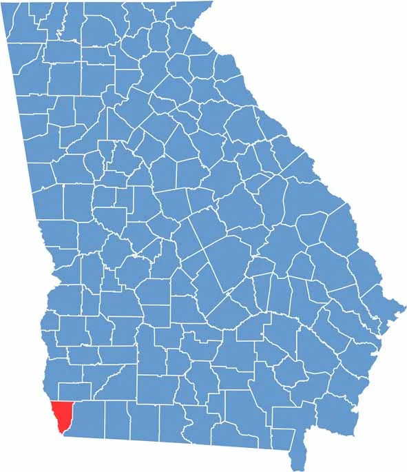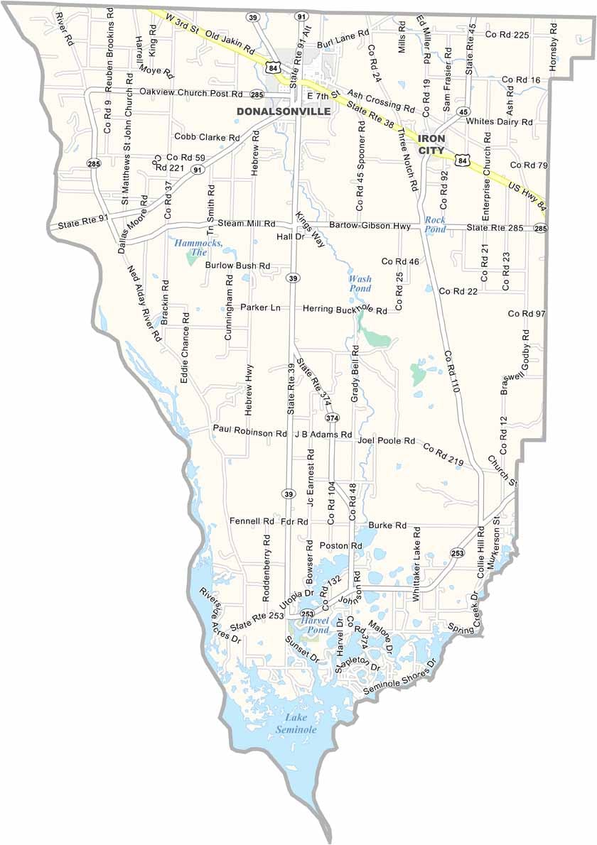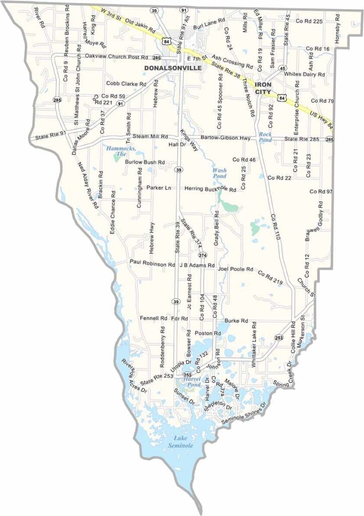
Seminole County is located in Georgia’s southwestern corner, where scenic waterways and fertile farmland define the landscape. Established in 1920 and named after the Seminole people, the county is best known for Lake Seminole, a sprawling reservoir that attracts visitors year-round for fishing, boating, kayaking, birdwatching, and waterfowl hunting.
Donalsonville, the county seat, serves as the county’s commercial and cultural center. The town offers a welcoming small-town atmosphere, with locally owned shops, restaurants, farmers markets, and community events that reflect the area's strong Southern traditions.
Agriculture remains the cornerstone of Seminole County’s economy, with extensive fields of peanuts, cotton, corn, and other crops covering much of the countryside. Combined with its abundant outdoor recreation, peaceful rural setting, and friendly communities, Seminole County provides an authentic experience of southwest Georgia and is an ideal destination for those seeking nature, relaxation, and small-town hospitality.