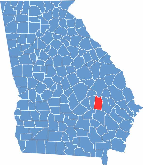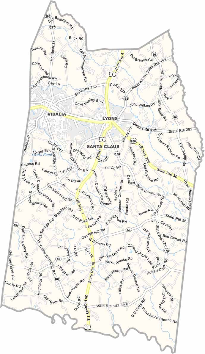
Toombs County is located in southeastern Georgia, roughly halfway between Macon and Savannah. Lyons serves as the county seat, while nearby Vidalia is internationally known as the home of Georgia’s famous sweet onions. Together, these communities reflect the county’s rich agricultural heritage and small-town charm.
The Altamaha River forms the county’s southern border, providing opportunities for fishing, boating, and enjoying the area's natural beauty. In addition to Lyons and Vidalia, the tiny community of Santa Claus adds a unique touch with its festive name and holiday-themed streets.
Toombs County has a long history, from early Native American settlements to events during the Civil War. Agriculture remains the backbone of the local economy, while a growing arts and cultural scene continues to enrich the community. Blending history, tradition, and Southern hospitality, Toombs County offers an authentic experience in southeastern Georgia.