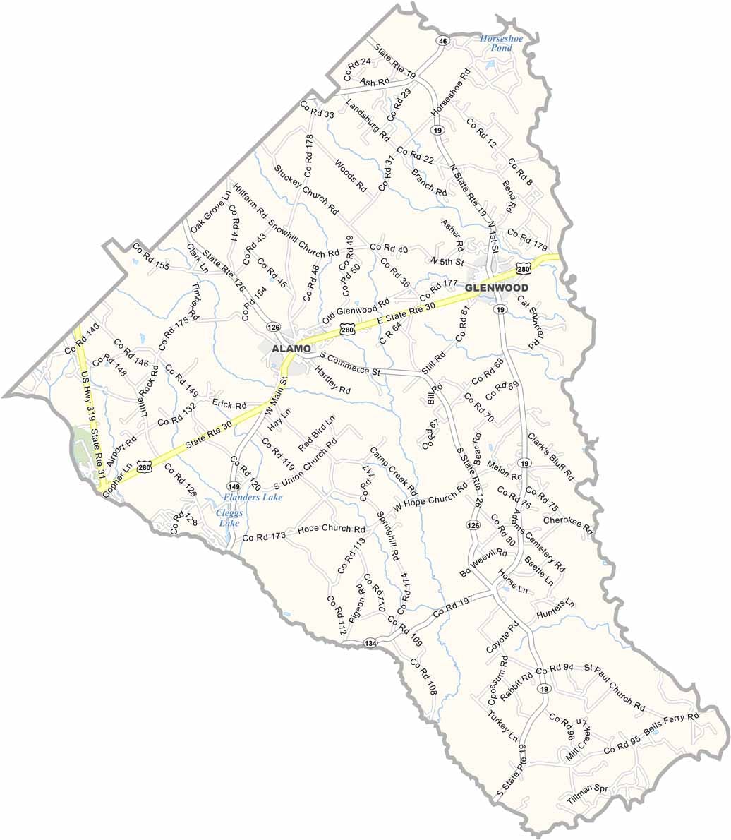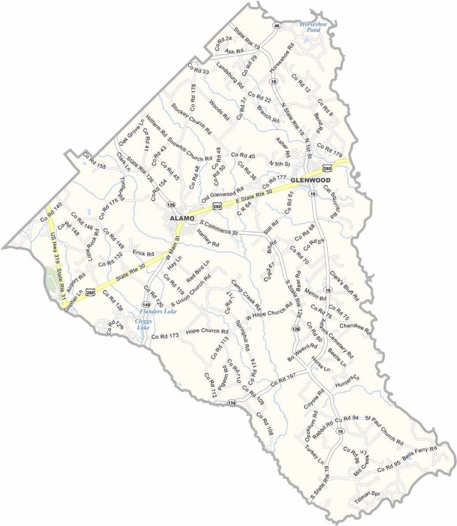
Wheeler County, Georgia

Wheeler County is located in east-central Georgia, roughly halfway between Macon and Savannah. Though small in both size and population, the county offers a quiet rural setting and a strong connection to Georgia’s agricultural heritage. Alamo, the county seat, serves as the center of community life.

Agriculture and forestry remain the foundation of Wheeler County’s economy, with farms and woodlands shaping much of the local landscape. The Oconee River forms the county’s eastern border, providing opportunities for fishing, boating, and enjoying the area's natural beauty.

Outdoor recreation is a highlight of the county, thanks to Little Ocmulgee State Park, which features a scenic lake, golf course, hiking trails, camping, and a variety of family-friendly activities. Wheeler County’s peaceful atmosphere and natural surroundings make it a relaxing destination in rural Georgia.
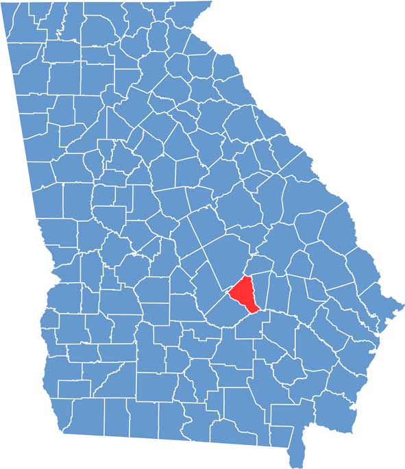

Wheeler Location Map showing towns, roads, and geographic features in Georgia.
Category Details
County Name Wheeler County
County Seat Alamo
Cities, Towns, and Communities Alamo (county seat), Glenwood, Rhines, and several unincorporated communities
Interstates and Highways U.S. Route 280, State Route 30, State Route 19
Etymology Named after Joseph Wheeler, a Confederate general
FIPS Code 13-309
Total Area (Land and Water) 284 square miles (land: 280 sq mi, water: 4 sq mi)
Time Zone Eastern Time Zone (ET)
State Georgia
Coordinates 32.1270° N, 82.6512° W
Major Landmarks Little Ocmulgee State Park, Wheeler County Historical Society Museum
Adjacent Counties (and Direction) Treutlen County (North), Montgomery County (East), Jeff Davis County (Southeast), Telfair County (Southwest), Dodge County (West), Laurens County (Northwest)
Population Approximately 8,000
Scroll to Top