Casey County, Kentucky

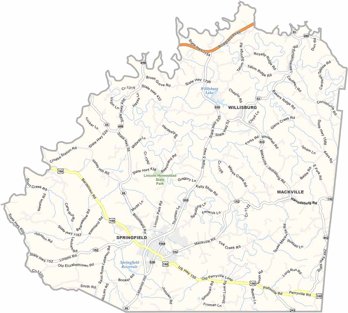
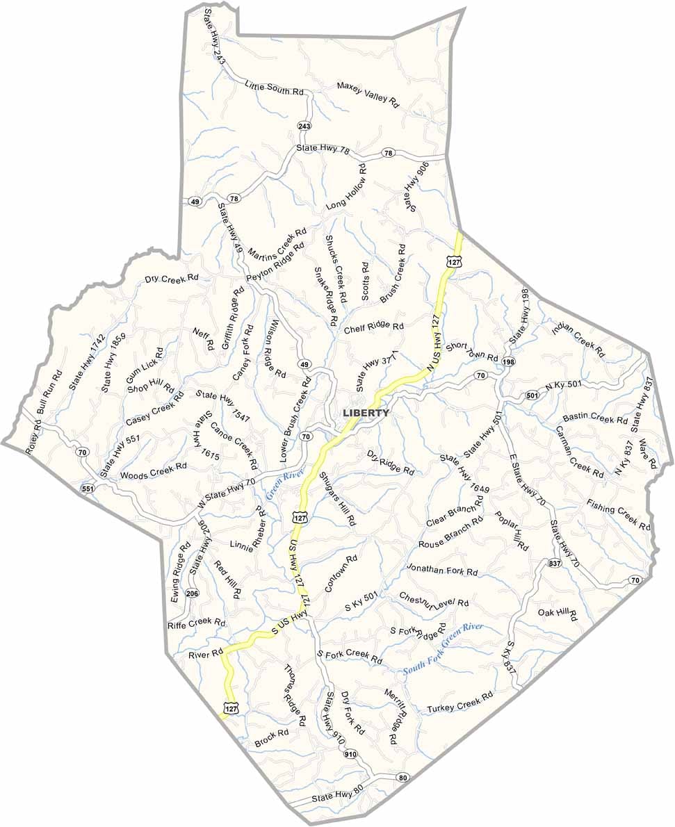
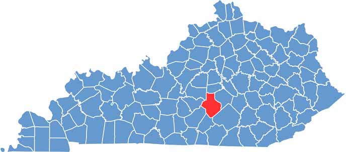
Casey County is located in south-central Kentucky, within the region known for its distinctive Knobs landscape. U.S. Route 127 serves as a major transportation route, connecting the county with Danville and other nearby communities.

Agriculture is a major part of the local economy, with rolling fields of corn and tobacco stretching across much of the county. The rural landscape reflects Casey County’s long-standing farming traditions.

With a population of around 16,000, Casey County offers a quiet and peaceful rural atmosphere. The Green River provides opportunities for canoeing, fishing, and outdoor recreation, while the annual Casey County Apple Festival brings the community together each year for a popular local celebration.
CategoryDetails
County NameCasey County
County SeatLiberty
EtymologyNamed after Colonel William Casey, an early Kentucky pioneer
Cities, Towns, and CommunitiesLiberty, Yosemite, Dunnville, Middleburg, Clementsville
Interstates and HighwaysUS-127, KY-70, KY-198
FIPS Code21-045
Total Area (Land and Water)446 sq mi (Land: 444 sq mi; Water: 2 sq mi)
Adjacent Counties (and Direction)Boyle County (North), Lincoln County (East), Pulaski County (Southeast), Russell County (South), Adair County (Southwest), Taylor County (West), Marion County (Northwest)
Time ZoneEastern Time Zone (ET)
StateKentucky
Coordinates37.3214° N, 84.9360° W
Major LandmarksGreen River, Casey County Apple Festival, Liberty Bell Monument
PopulationApproximately 16,000
Scroll to Top