Clay County, Kentucky

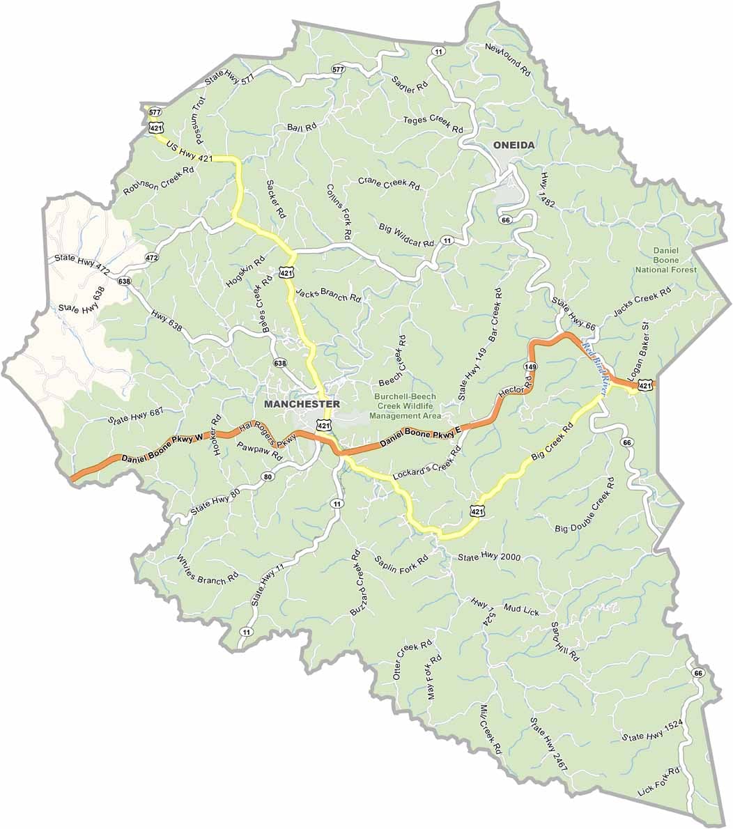
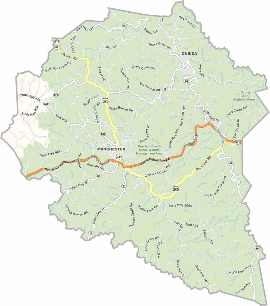
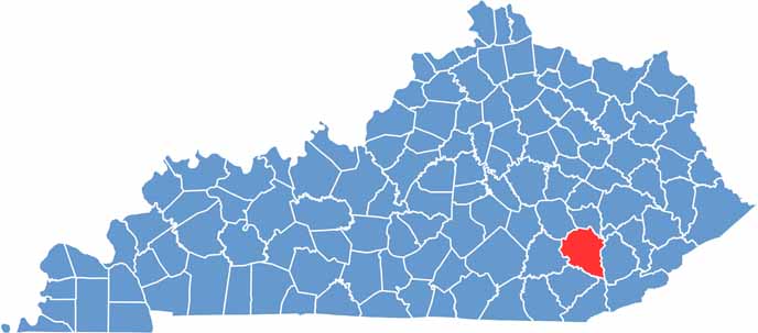
Clay County is located in southeastern Kentucky, with Manchester serving as the county seat. The area is known for its rugged landscapes, wooded hills, and scenic Appalachian surroundings.

The county has strong connections to bluegrass music and Appalachian culture, with local festivals celebrating the region’s musical traditions and heritage. About 20,000 residents call Clay County home, giving the area a close-knit community atmosphere.

Appalachian heritage remains an important part of the county’s identity, with a long history connected to the coal mining industry. The Daniel Boone National Forest is a major attraction, offering opportunities for hiking, camping, and exploring across the extensive forested landscapes that cover much of the county.
CategoryDetails
County NameClay County
County SeatManchester
EtymologyNamed after Green Clay, a Kentucky legislator and general
Cities, Towns, and CommunitiesManchester, Oneida, Burning Springs, Goose Rock, Fogertown
Interstates and HighwaysKY-11, KY-66, KY-80
FIPS Code21-051
Total Area (Land and Water)471 sq mi (Land: 470 sq mi; Water: 1 sq mi)
Adjacent Counties (and Direction)Owsley County (North), Perry County (Northeast), Leslie County (East), Bell County (Southeast), Knox County (Southwest), Laurel County (West), Jackson County (Northwest)
Time ZoneEastern Time Zone (ET)
StateKentucky
Coordinates37.1535° N, 83.7632° W
Major LandmarksRedbird Crest Trail, Goose Creek Salt Works, Rawlings and Stinson Park
PopulationApproximately 20,000
Scroll to Top