
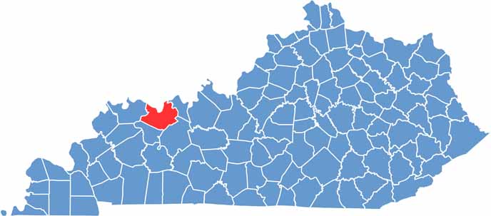
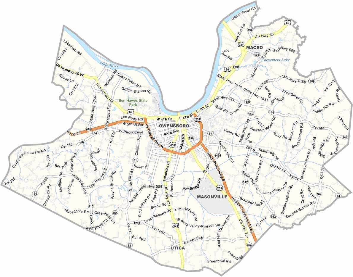
Daviess County is located in northwestern Kentucky and is home to Owensboro, the state’s fourth-largest city. The Ohio River forms the county’s northern border, adding to its scenic landscape.
The county borders Indiana and is served by major routes including U.S. Route 60 and the Audubon Parkway. With a population of around 100,000 residents, Daviess County features a blend of urban communities and rural landscapes, offering both city amenities and a quieter countryside setting.
Music enthusiasts can explore the county’s strong bluegrass music heritage, celebrated at the Bluegrass Music Hall of Fame and Museum in Owensboro. The county is also home to the Owensboro Museum of Science and History, providing opportunities to learn more about the area’s cultural and historical development.
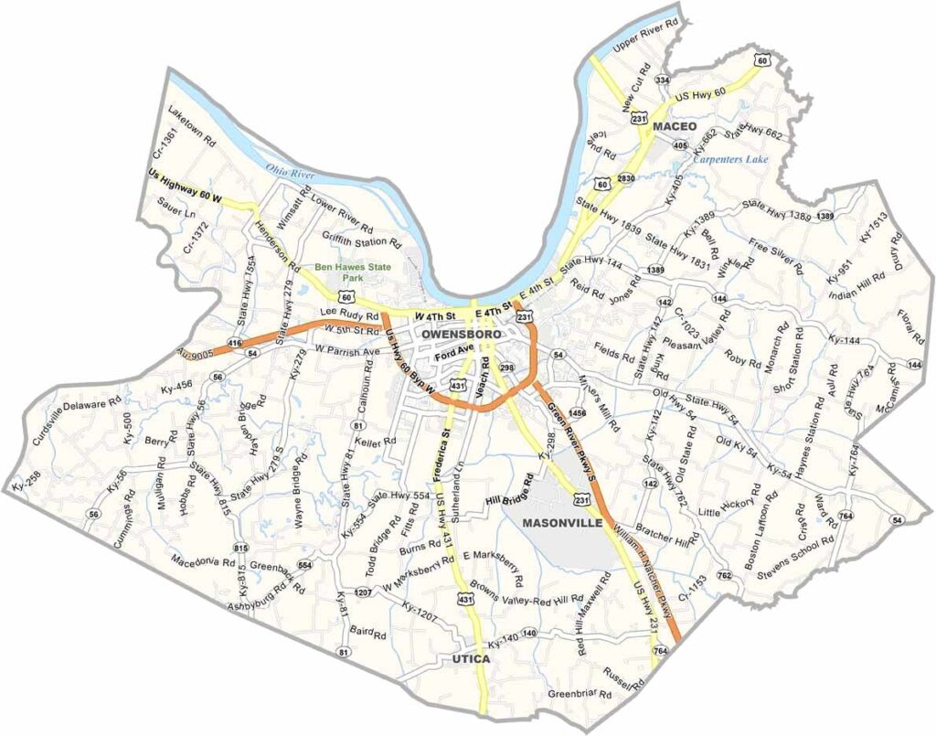
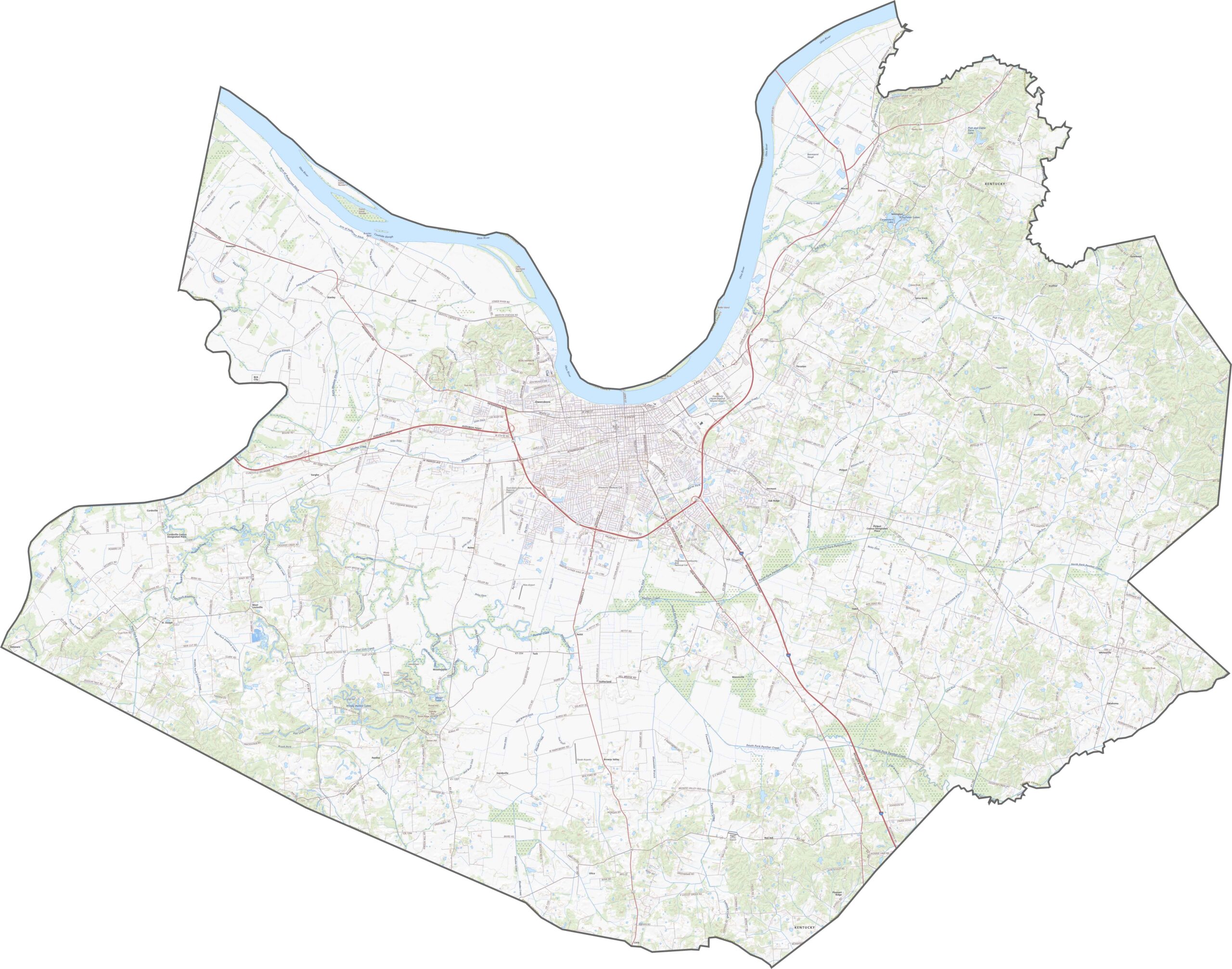
Daviess County’s road network ranges from wide, modern highways to narrow rural backroads. U.S. Route 60 runs directly through Owensboro, while smaller routes wind through the county’s rural hills and countryside. Use our interactive zoom tool to trace the county’s roads and explore each route in greater detail.
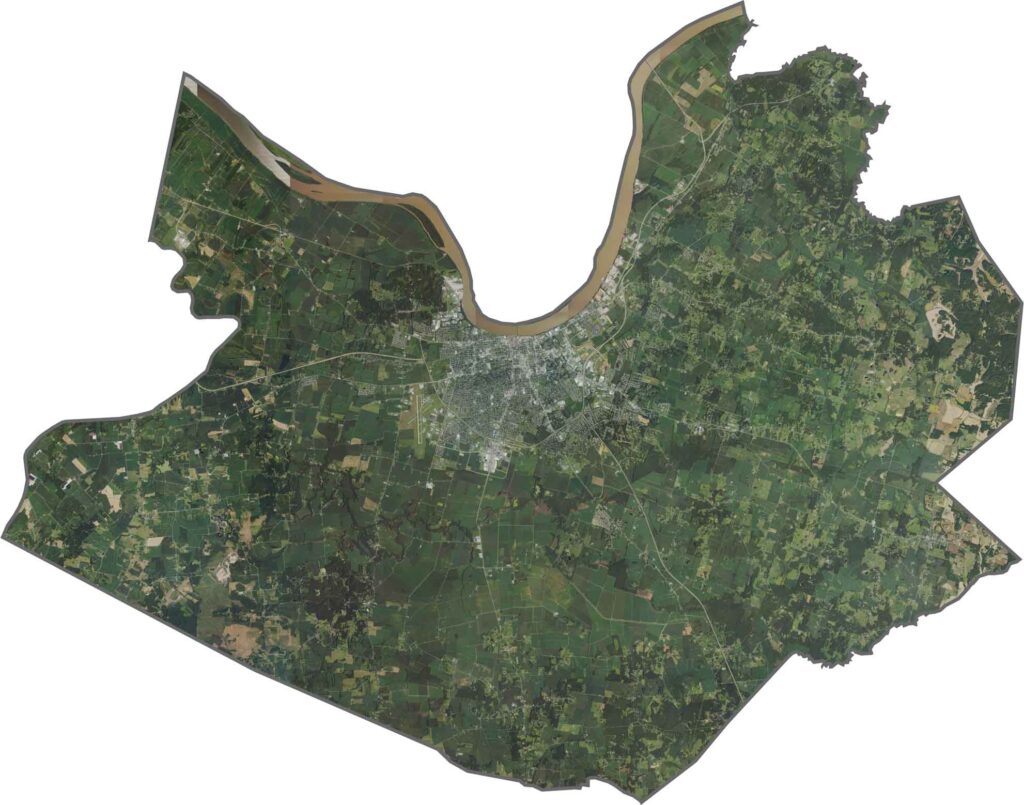
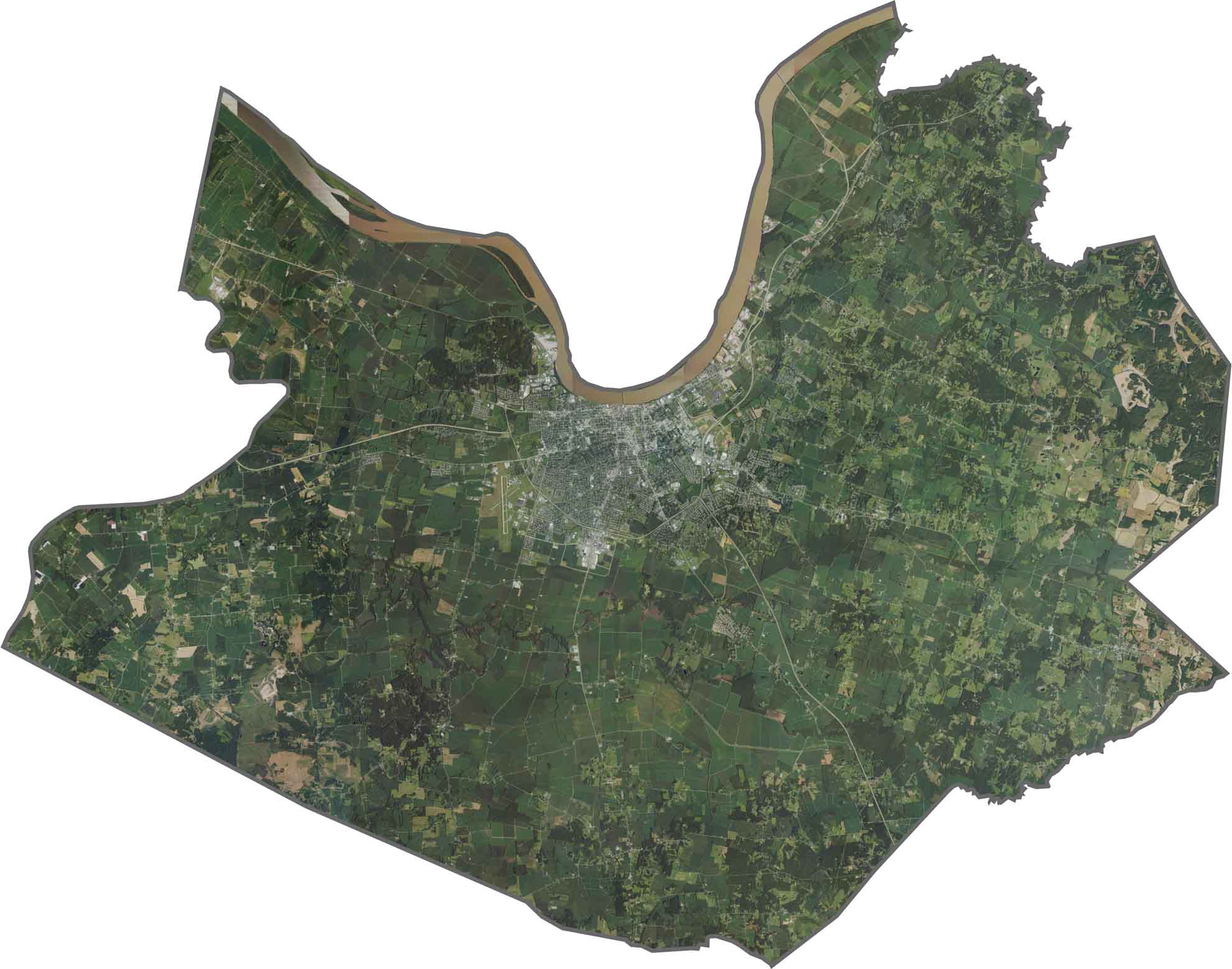
The Ohio River stretches along the county’s northern edge, with Owensboro and its developed areas clustered along the riverbanks. Beyond the city, the landscape transitions into a mix of croplands, forests, and winding creeks. Although Owensboro appears densely developed, open farmland quickly becomes more prominent outside the suburban areas.
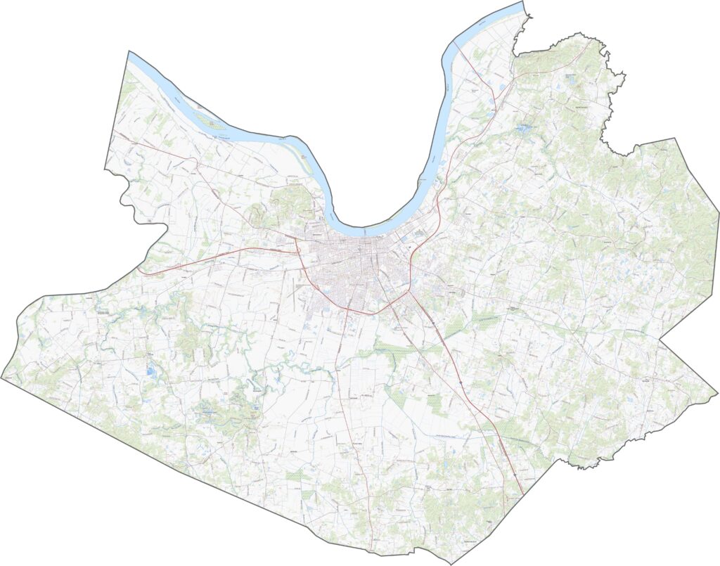
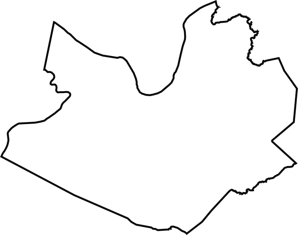
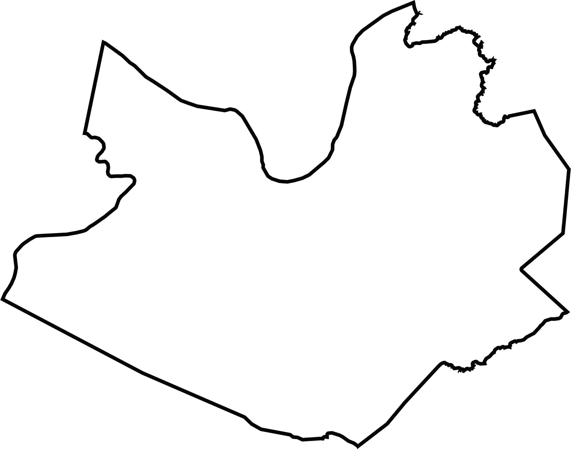
The Daviess County outline has an irregular shape that follows the contours of the Ohio River along its northern border. Indiana lies across the river to the north, while the county is bordered by Hancock County, McLean County, and Ohio County on its other sides.
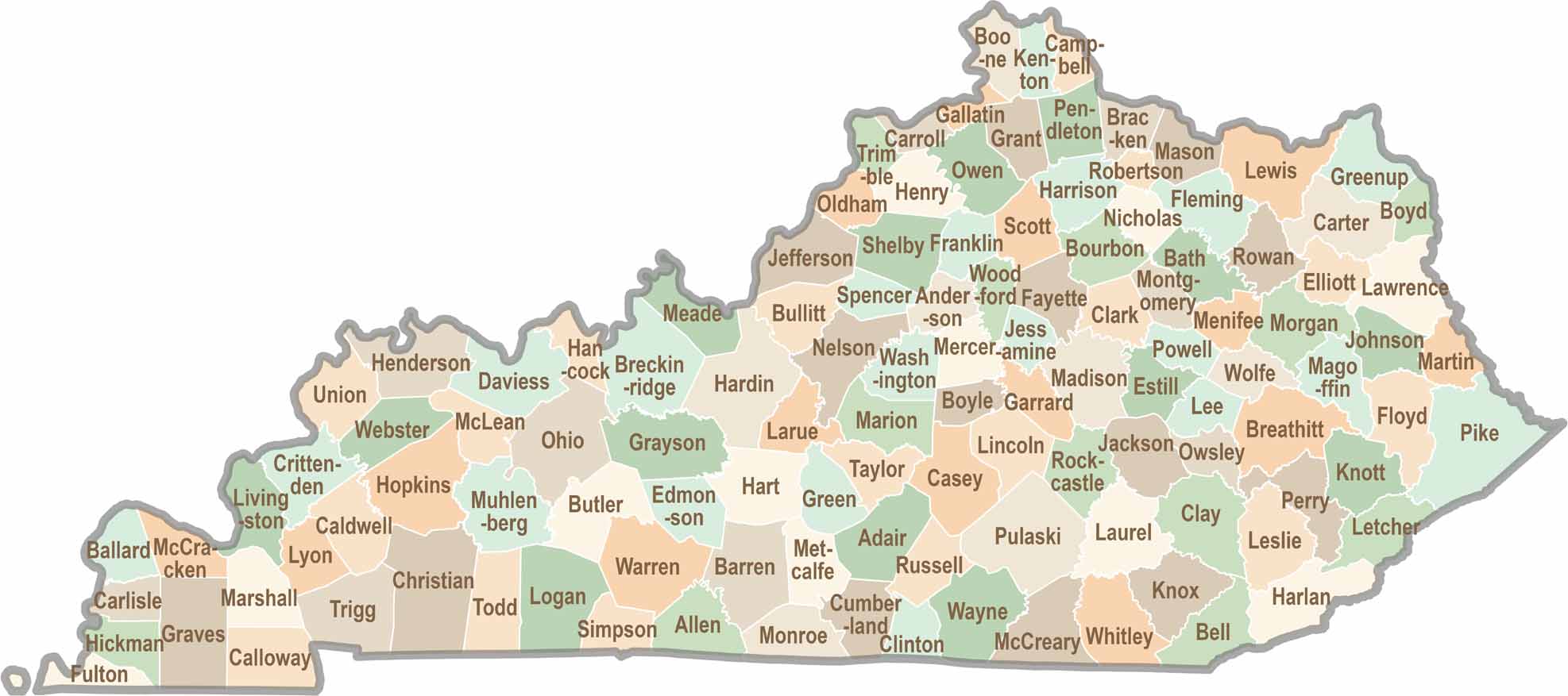
Kentucky isn’t just about bluegrass and bourbon. It’s a state where towering forests, rolling landscapes, and rich local stories come together. Explore the state in greater detail and find your way with one of our Kentucky County Map