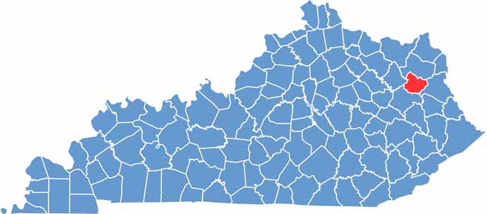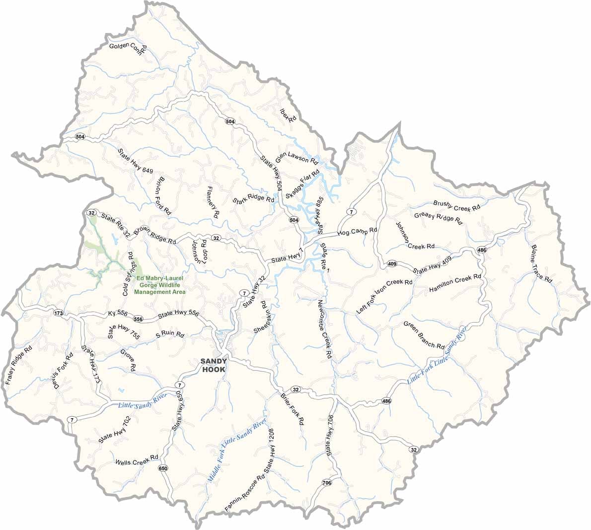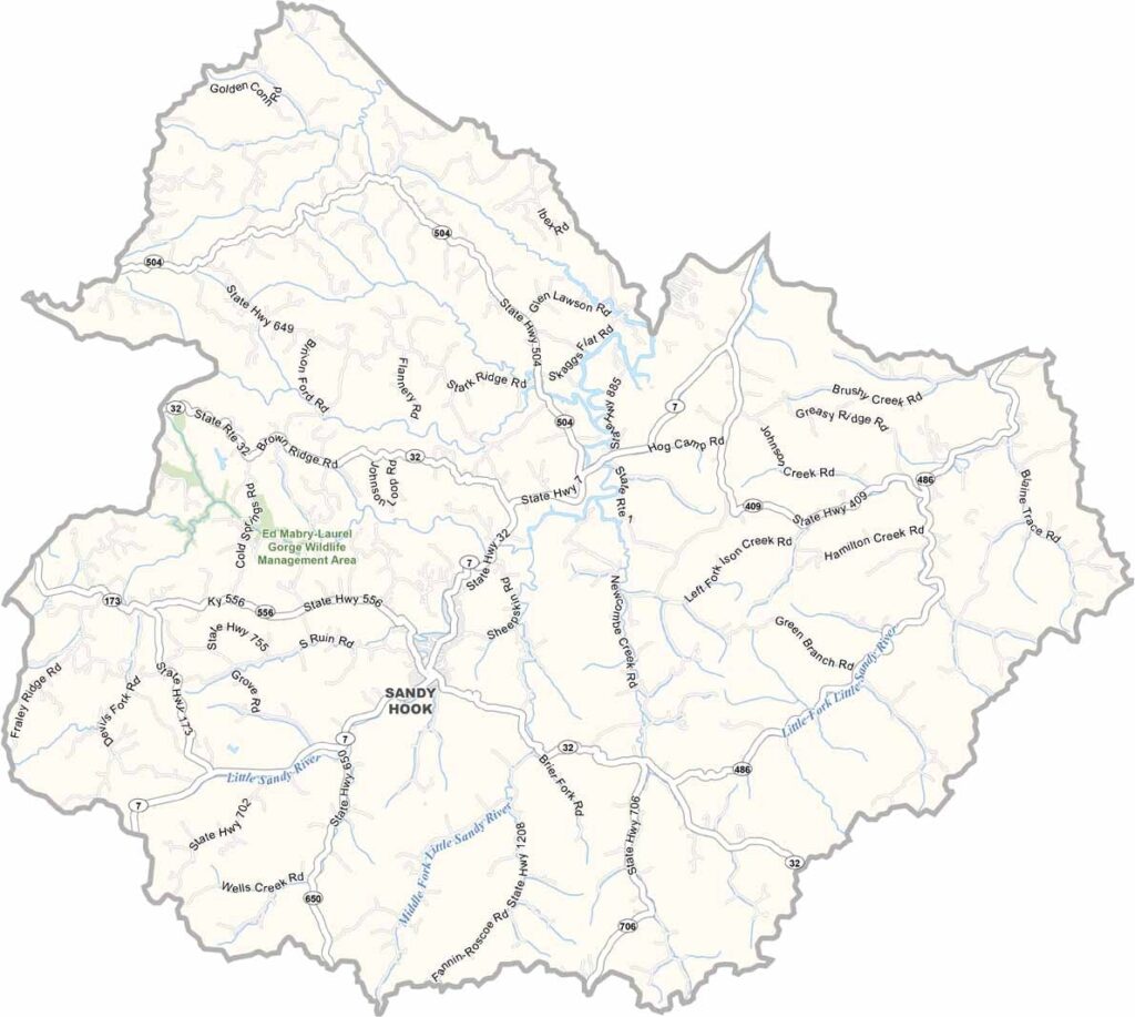
Elliott County is located in eastern Kentucky, where the Appalachian foothills shape the landscape and small-town communities remain central to local life. Sandy Hook, the county seat, sits amid the region’s scenic hills and valleys.
The county is notable for its long political history: it voted for the Democratic presidential nominee in every election from 1872 through 2012, setting the longest such streak recorded for any U.S. county. The streak ended in 2016, when the county voted Republican for the first time in a presidential election.
With a population of approximately 7,500 residents, Elliott County offers a quiet rural setting centered around Sandy Hook and its surrounding countryside. Visitors can enjoy the area’s peaceful landscapes and scenic views, including portions of the Daniel Boone National Forest.