
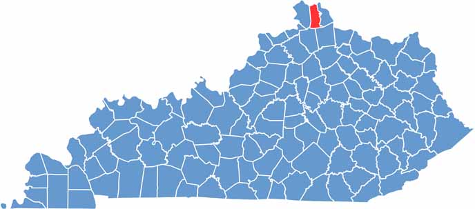
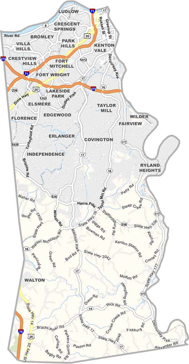
Kenton County is located in northern Kentucky and is part of the Greater Cincinnati metropolitan area. Covington and Independence both serve as county seats.
Kenton County has a population of about 170,000 people. The county is easily accessible via I-75 and I-71, making it an important connection between Kentucky and Ohio.
Covington is known for its riverfront area and historic neighborhoods. The Roebling Suspension Bridge is an iconic structure connecting Covington to Cincinnati.
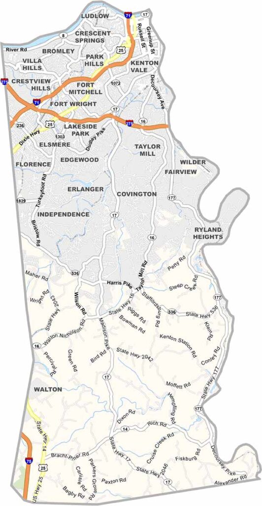
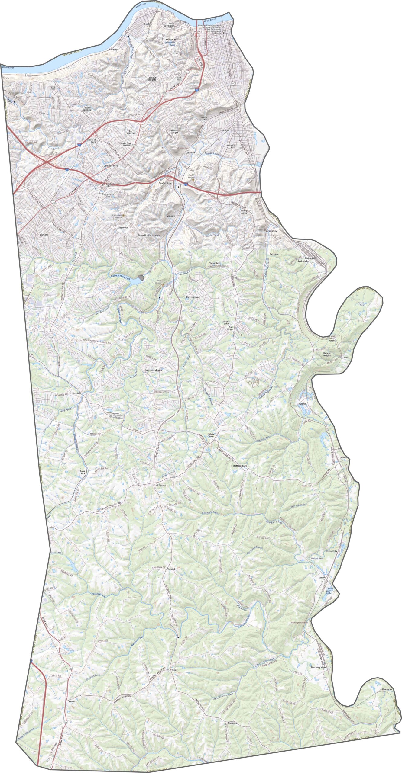
Kenton County’s road network includes major highways such as Interstates 75 and 71, providing fast connections to Cincinnati and the surrounding region. Older routes such as U.S. Route 25 wind through the historic streets of Covington, adding character to the county’s transportation network. Use our interactive zoom tool and map below to explore the roads and routes in greater detail.
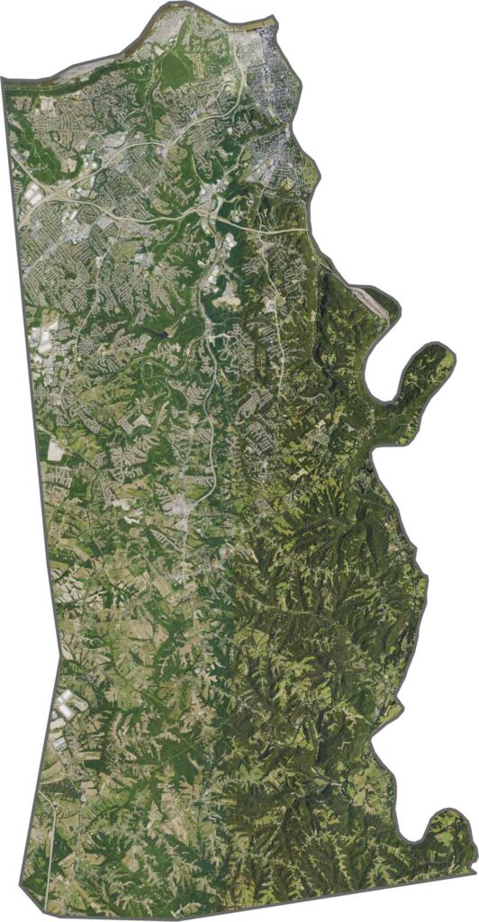
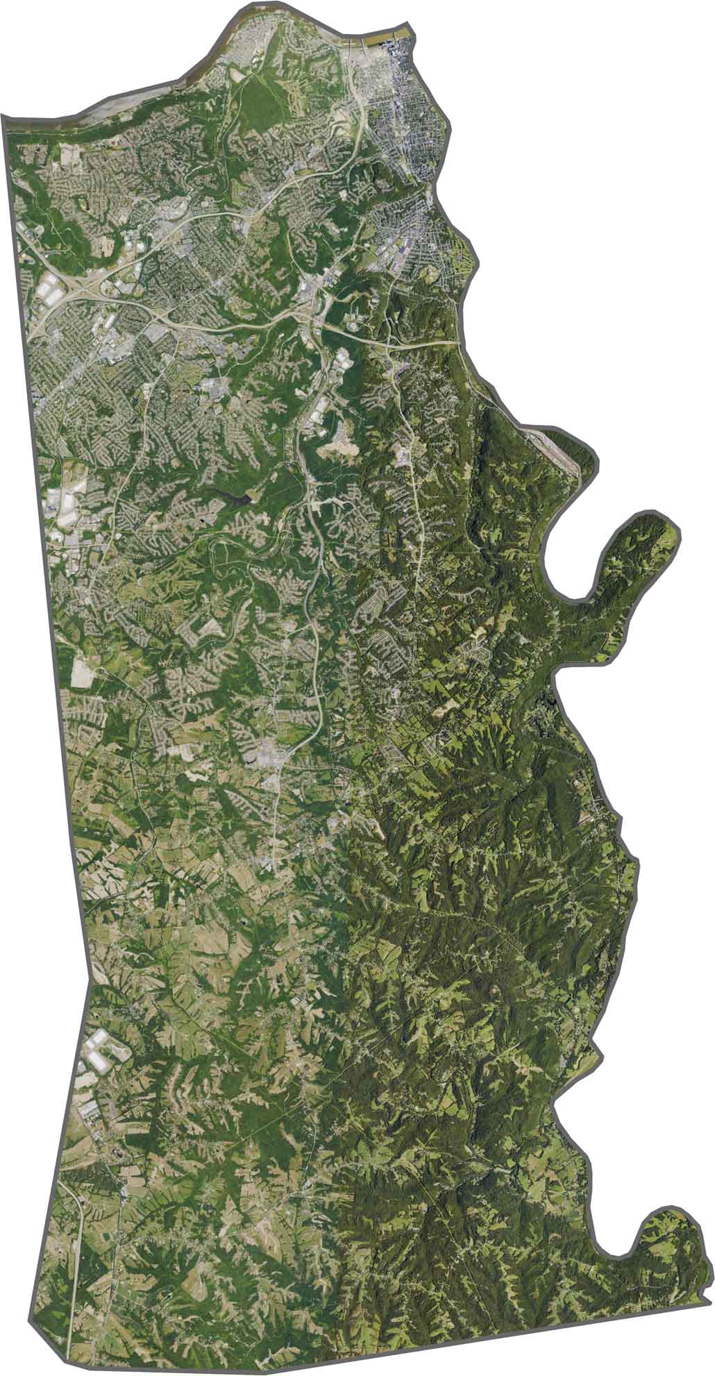
Our Kenton County satellite map shows a clear contrast between the more developed northern areas and the less-developed southern landscape, where wooded hills are more prominent. The Ohio River forms the northern border with Ohio, while the urban areas of Covington and Newport feature dense street grids along the riverbanks.
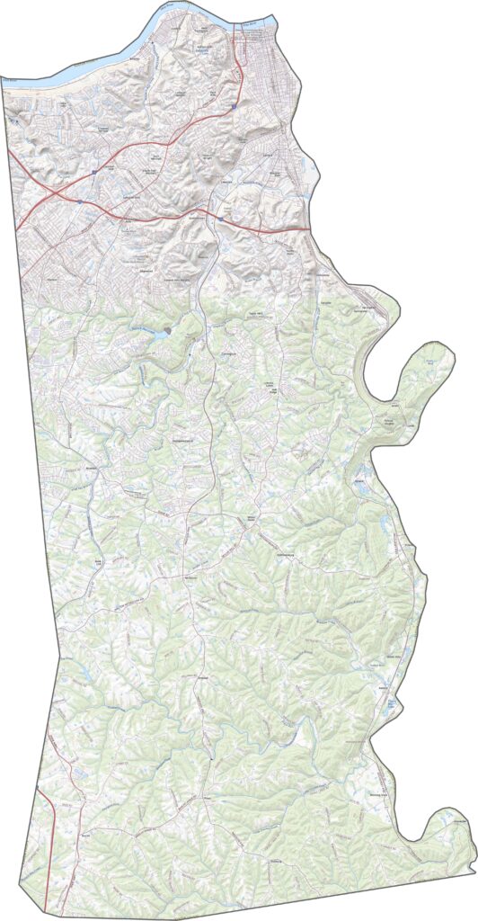
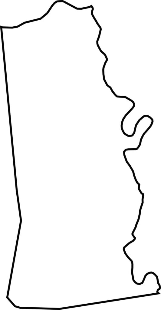
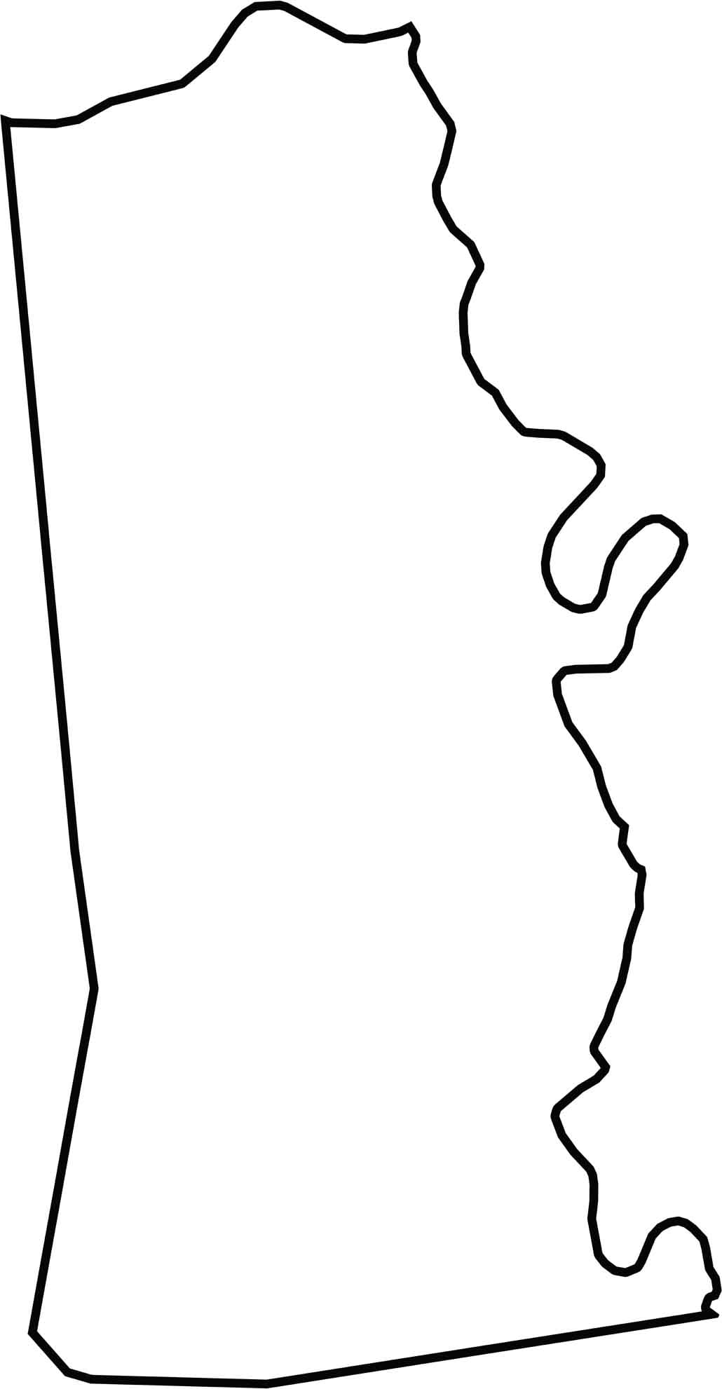
The Kenton County outline is elongated from north to south and lies between the Ohio River and Licking River. The Ohio River forms the northern border with Ohio, while the Licking River separates Kenton County from Campbell County to the east.
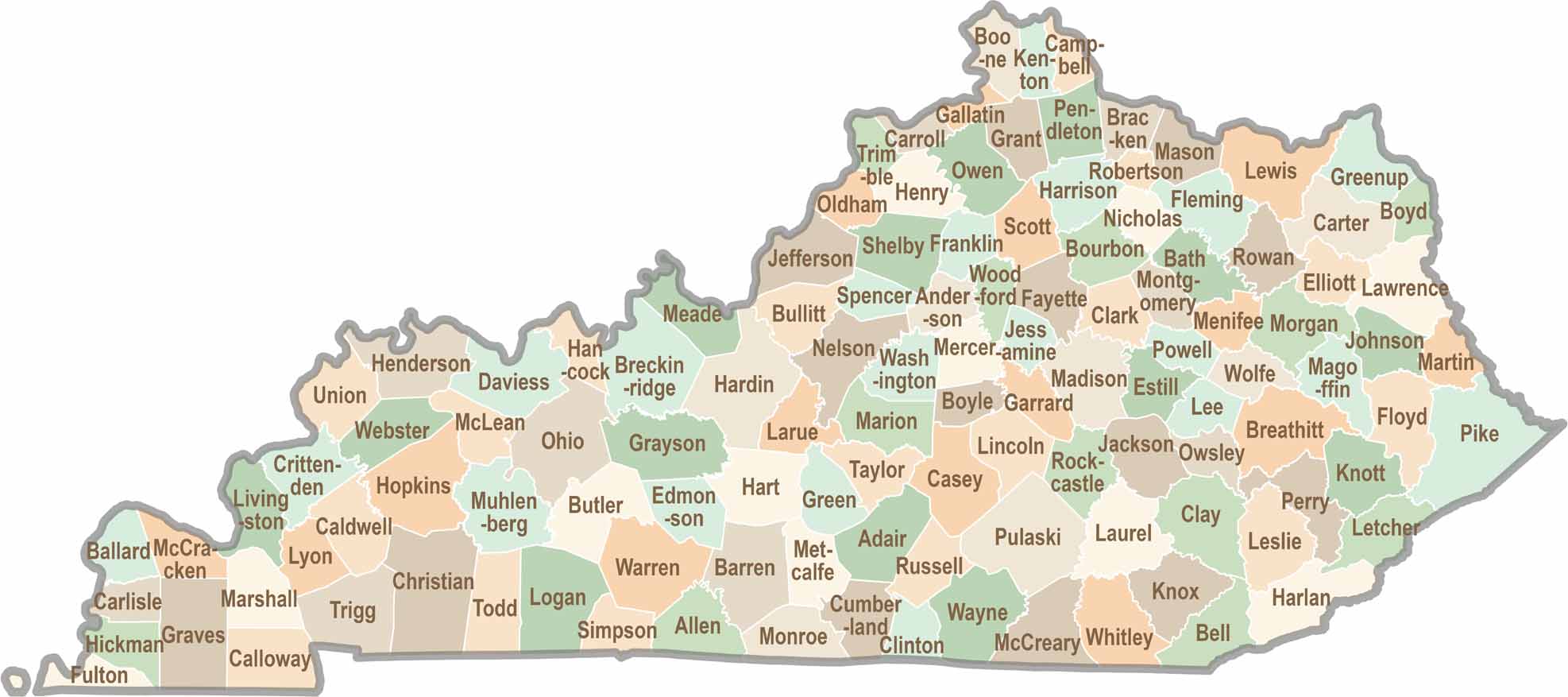
Kentucky isn’t just about bluegrass and bourbon. It’s a state where towering forests, rolling landscapes, and rich local stories come together. Explore the state in greater detail and find your way with one of our Kentucky County Map