Lawrence County, Kentucky

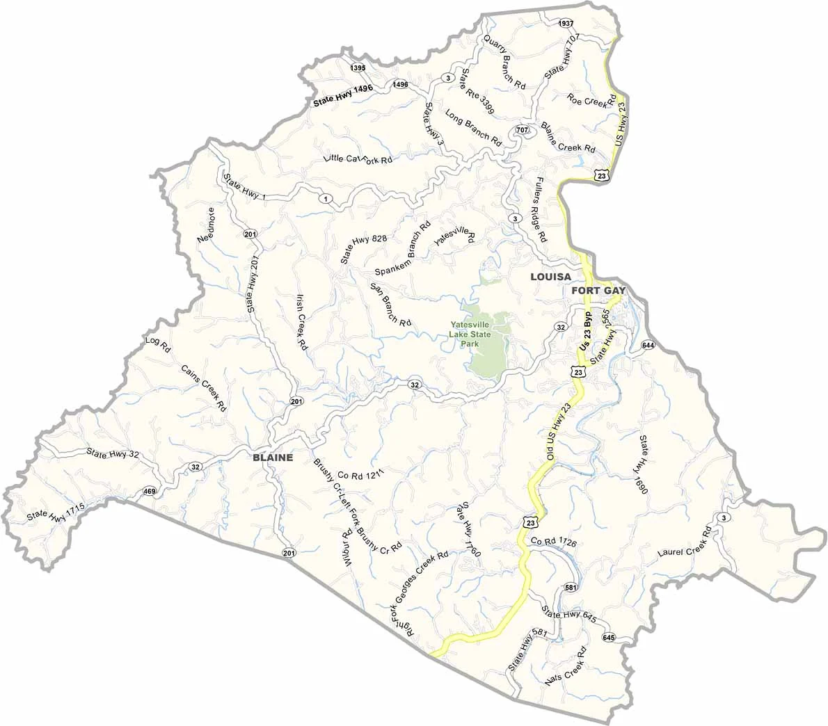
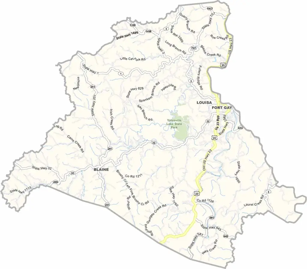
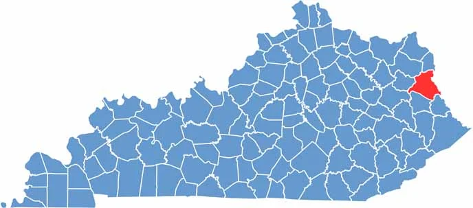
Lawrence County is located in eastern Kentucky, right along the West Virginia border. Louisa serves as the county seat and sits where the Big Sandy and Levisa Fork rivers meet.

The county has some nice parks for camping and fishing. There’s also a cool old swinging bridge if you’re feeling brave.

With a population of about 16,000, Lawrence County is a quiet place. Yatesville Lake State Park is a local favorite, while U.S. Route 23, also known as the Country Music Highway, runs through the county.
CategoryDetails
County NameLawrence County
County SeatLouisa
EtymologyNamed after James Lawrence, a naval officer during the War of 1812
Cities, Towns, and CommunitiesLouisa, Blaine, Fallsburg, Richardson, Lowmansville
Interstates and HighwaysUS-23, KY-3, KY-32
FIPS Code21-127
Total Area (Land and Water)420 sq mi (Land: 416 sq mi; Water: 4 sq mi)
Adjacent Counties (and Direction)Carter County (Northwest), Boyd County (North), Wayne County, West Virginia (East), Martin County (Southeast), Johnson County (South), Morgan County (Southwest), Elliott County (West)
Time ZoneEastern Time Zone (ET)
StateKentucky
Coordinates38.0810° N, 82.6207° W
Major LandmarksYatesville Lake State Park, Eagle Ridge Golf Course, Fred M. Vinson Birthplace
PopulationApproximately 16,000
Scroll to Top