
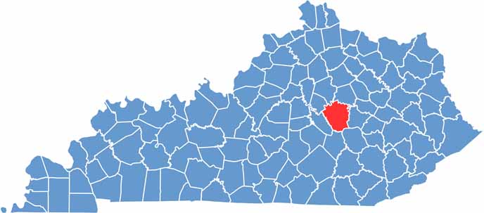
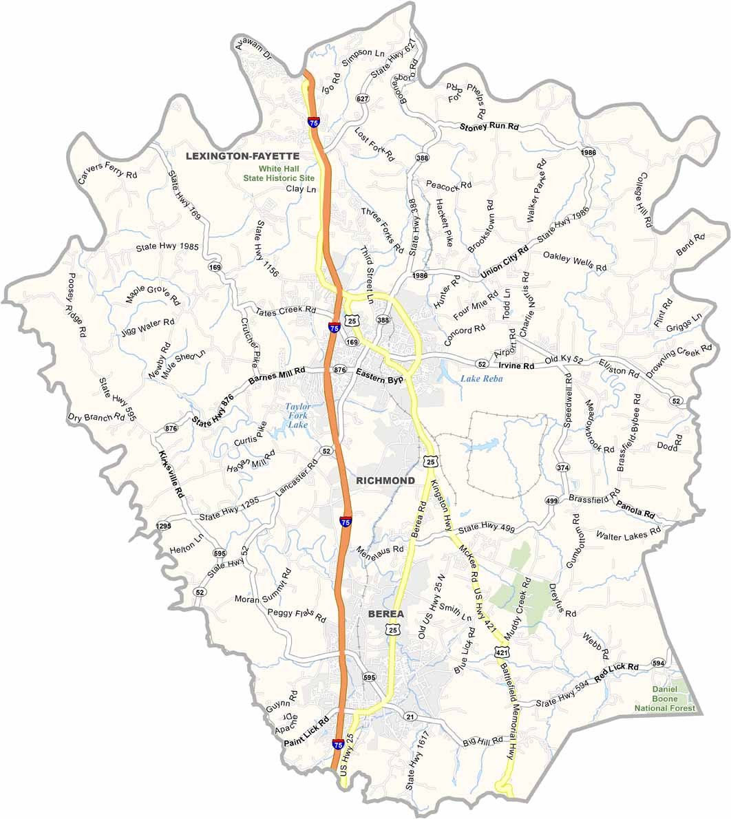
Madison County is located in central Kentucky and is home to Richmond and plenty of history. Berea, known as the “Folk Arts Capital,” is the place to go if you want to watch a chair being carved by hand.
The county has a strong college presence thanks to Eastern Kentucky University in Richmond. Just keep an eye out for stressed students when finals week rolls around.
Fort Boonesborough is located in the northern part of the county if you’re interested in frontier history. Fort Boonesborough State Park marks the site where Daniel Boone’s settlement once stood.
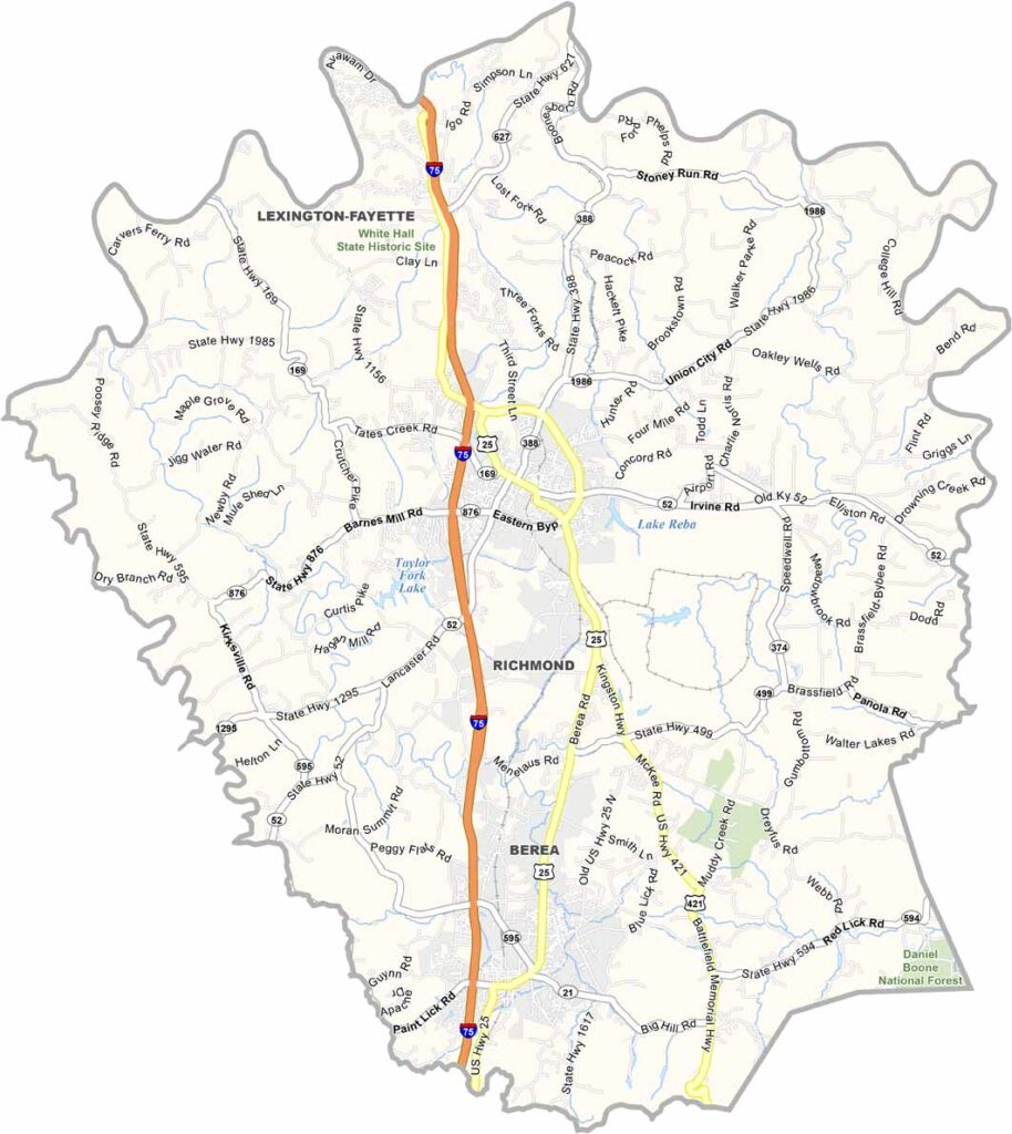
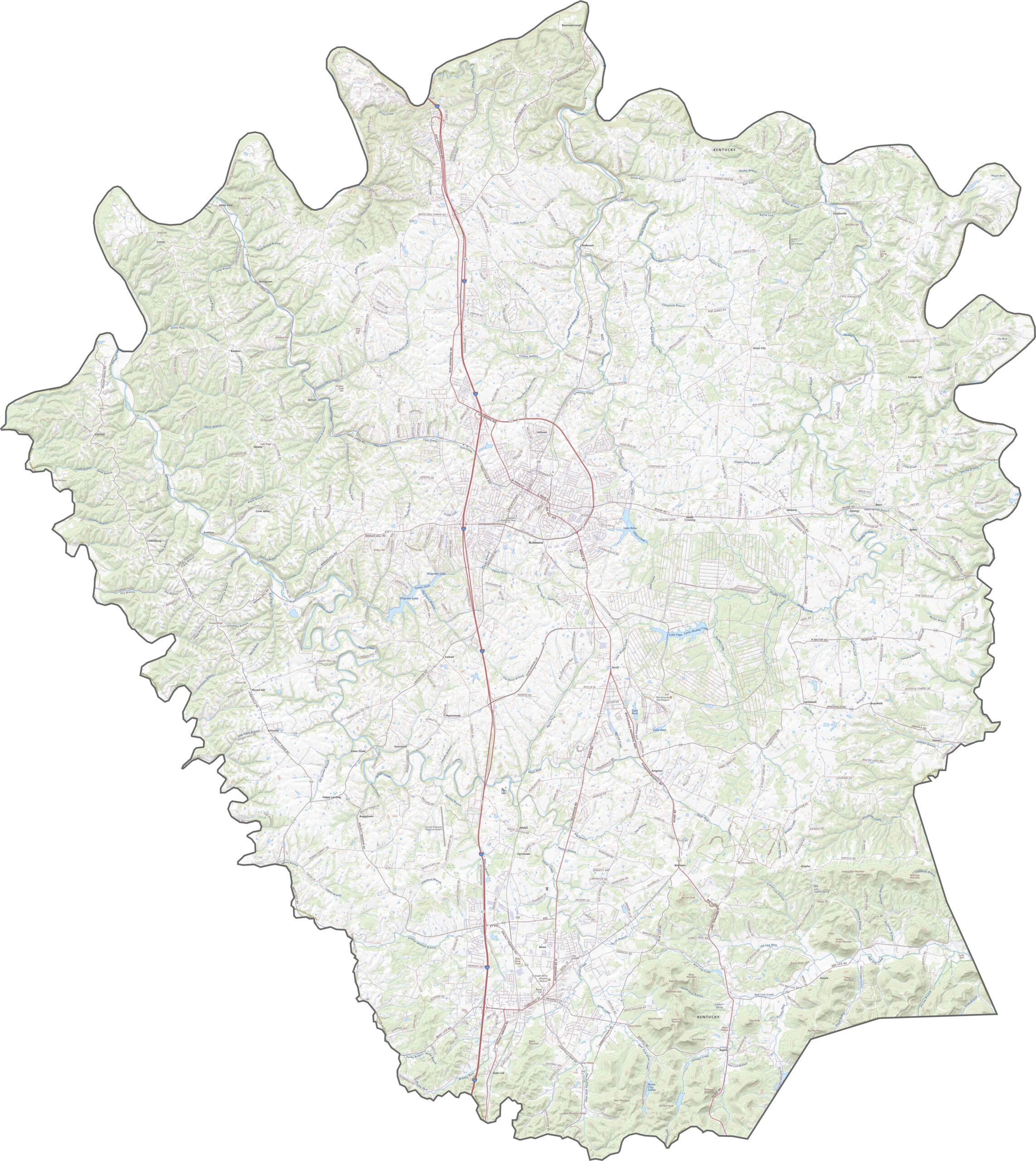
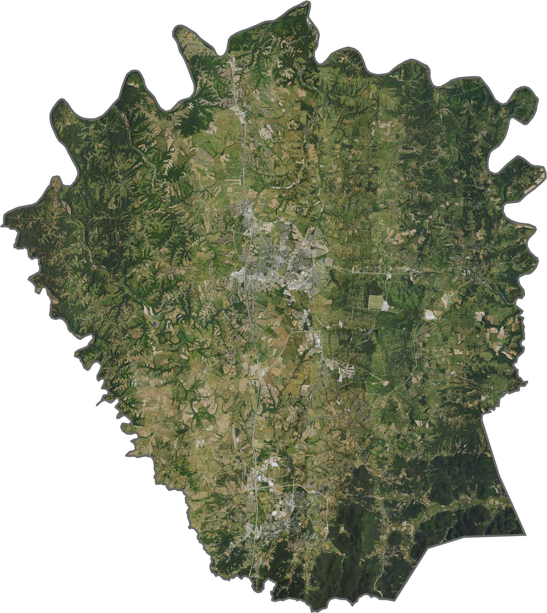
Madison County’s roads range from busy four-lane highways to quiet country lanes. I-75 serves as the major route through the county, passing directly through Richmond and connecting the area with surrounding communities. Use our zoom tool to explore the county and locate every major route.
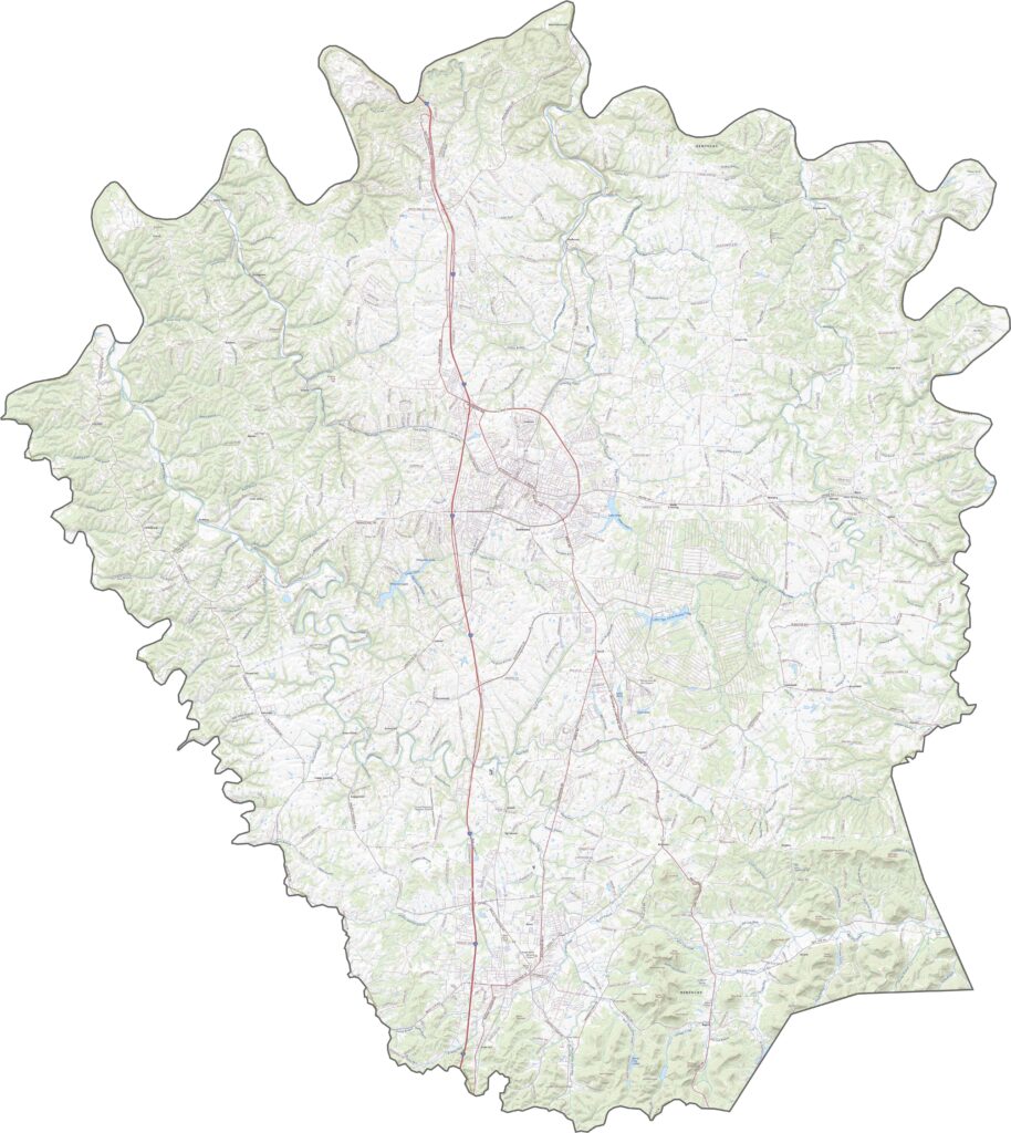
Richmond stands out against a patchwork of pastures, farmland, and open fields. The Kentucky River carves a deep, winding path along the county’s northern edge, adding a distinctive natural feature to the landscape.
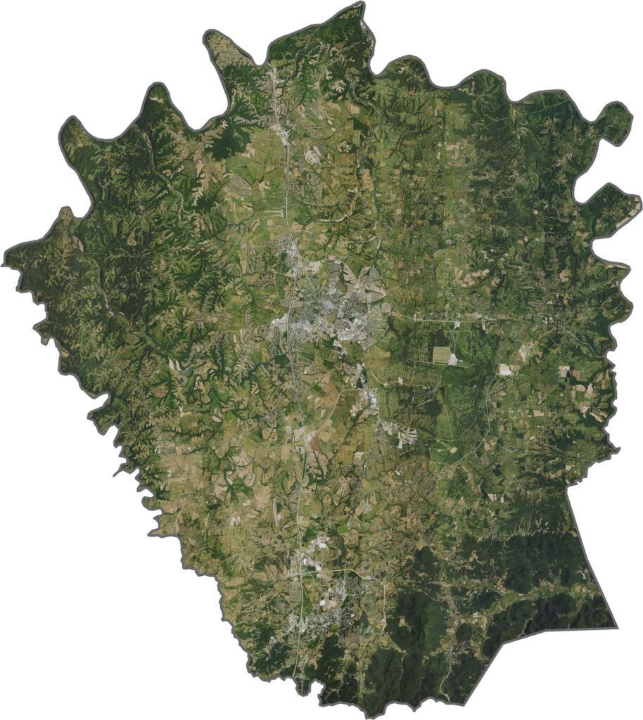
Madison County has a roughly rectangular shape, with rivers and waterways creating notches along several sections of its boundaries. The county is completely landlocked, with no borders touching another state.


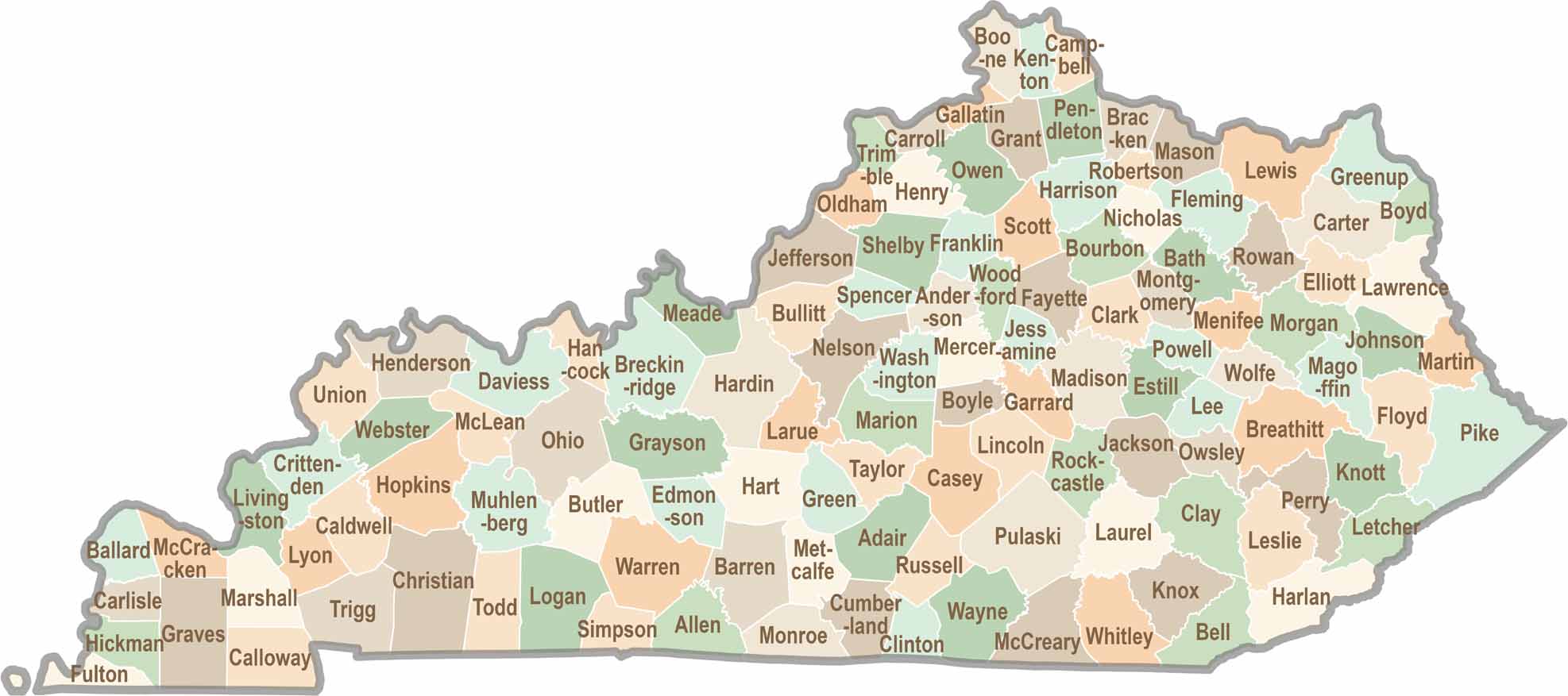
Kentucky isn’t just about bluegrass and bourbon. It’s a state where towering forests, rolling landscapes, and rich local stories come together. Explore the state in greater detail and find your way with one of our Kentucky County Map