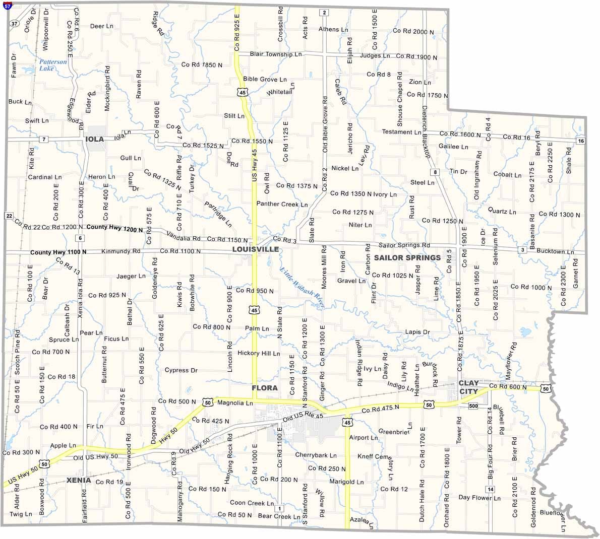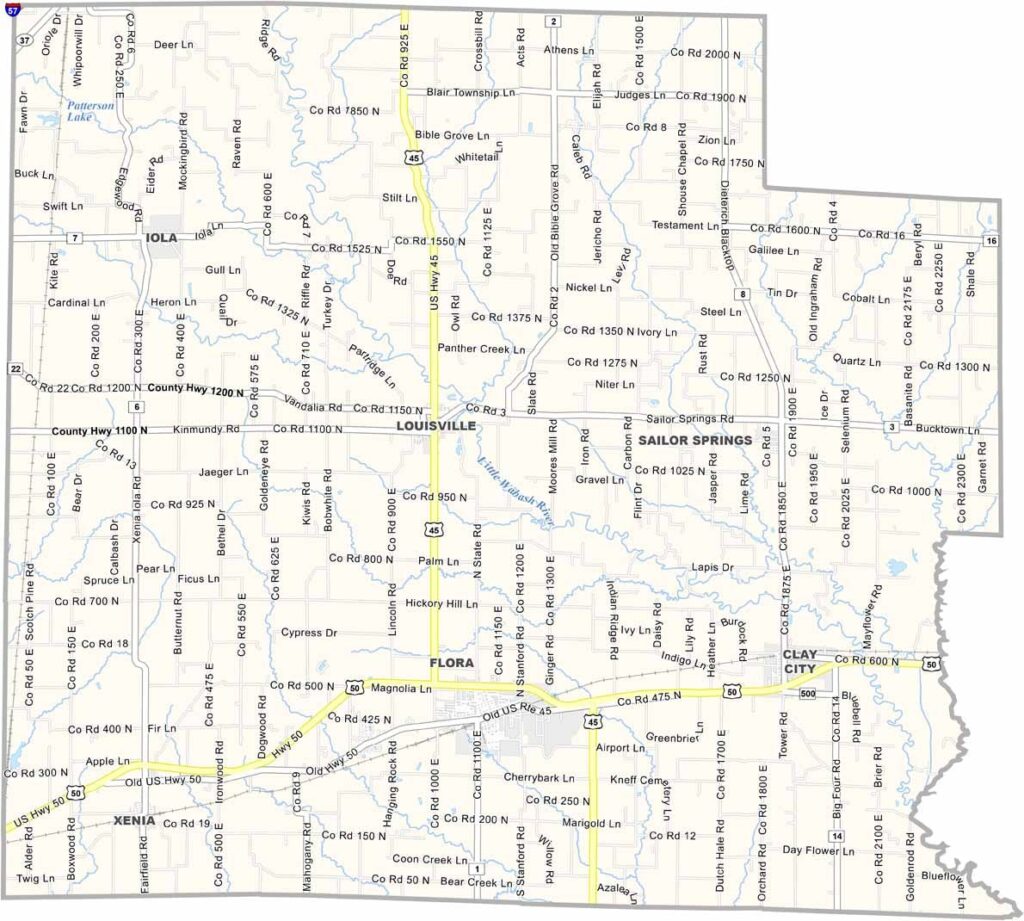
Clay County, Illinois

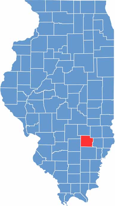
Clay County is located in southeastern Illinois, with Louisville serving as the county seat. The Little Wabash River winds through the county, while oil derricks stand alongside farms and form a distinctive part of the rural landscape.

The county is named after Henry Clay, a prominent American statesman. Agriculture remains the backbone of the local economy, while the oil industry has also played an important role in shaping Clay County’s history and development.

The Clay County Agricultural Fair is a popular summer highlight, while hunting draws outdoor enthusiasts during the fall. Local residents are known for their resilience and independent spirit, having faced difficult times together while maintaining a strong sense of community.

CategoryDetails
County NameClay County
County SeatLouisville
EtymologyNamed after Henry Clay, a prominent American statesman and politician
Cities, Towns, and CommunitiesFlora, Louisville, Clay City, Xenia, Iola, Ingraham, Sailor Springs, and various other unincorporated communities.
Interstates and HighwaysU.S. Highway 45, U.S. Highway 50, Illinois Route 37, Illinois Route 130
FIPS Code17-025
Total Area (Land and Water)469 square miles (land: 468 sq mi, water: 1 sq mi)
Adjacent Counties (and Direction)Effingham County (North), Jasper County (Northeast), Richland County (East), Wayne County (South), Marion County (West), Fayette County (Northwest)
Time ZoneCentral Time Zone (CT)
StateIllinois
Coordinates38.7726° N, 88.4858° W
Major LandmarksCharley Brown Park, Flora Depot, Little Wabash River, Clay County State Fish and Wildlife Area
PopulationApproximately 13,000
Scroll to Top