
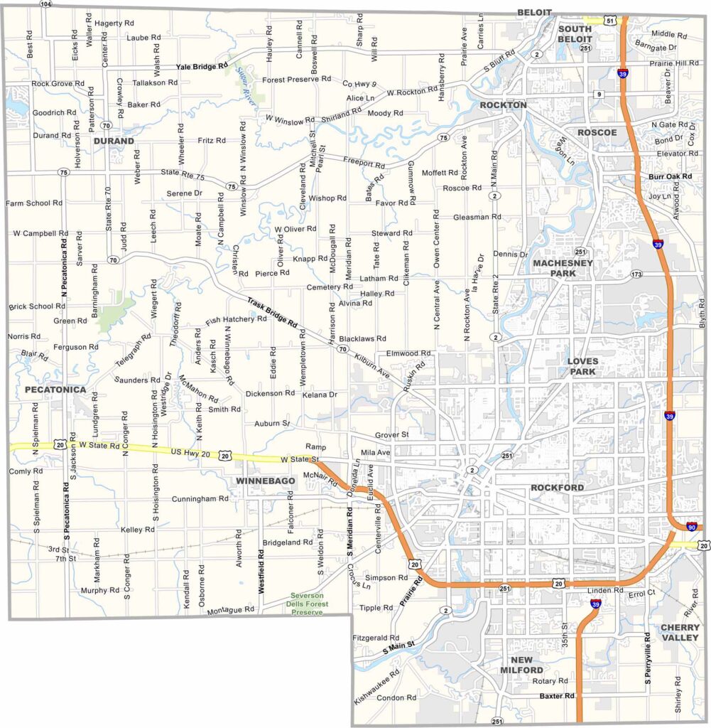
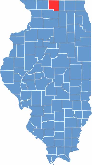
Winnebago County sits in northern Illinois, near the Wisconsin border. Rockford, the county seat and Illinois’s fifth-largest city, serves as a major hub for manufacturing, healthcare, and other industries across northern Illinois.
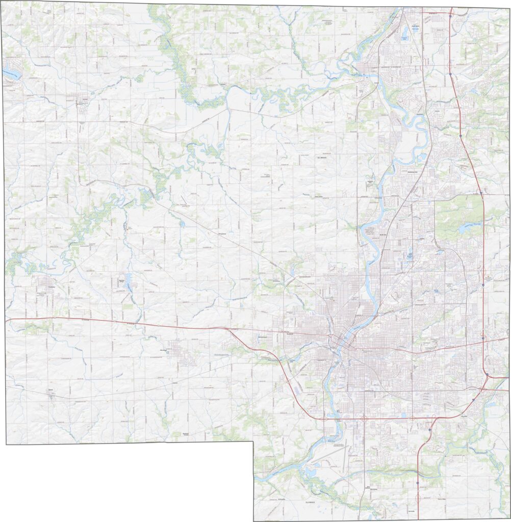
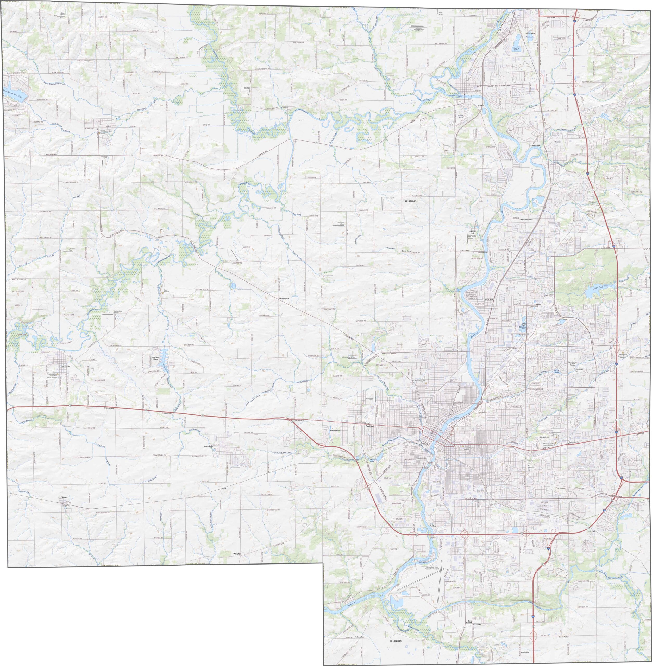
The Rock River runs through the heart of the county, including directly through Rockford. This scenic waterway offers plenty of opportunities for fishing, boating, and riverside recreation, with parks and green spaces located along its banks.
There’s plenty to explore in Winnebago County, especially around Rockford, where you’ll find museums, parks, restaurants, and a growing food scene. Step outside the city, however, and the landscape quickly shifts into the charm of small-town America.
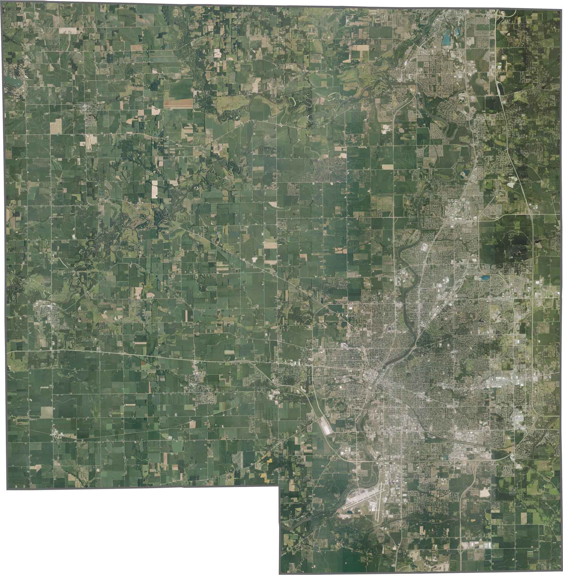
While much of Winnebago County is relatively flat, the Rock River Valley creates rolling hills and bluffs, especially around Rockford. Small lakes and wetlands can also be found in the northern sections, while the majority of the county consists of open farmland.
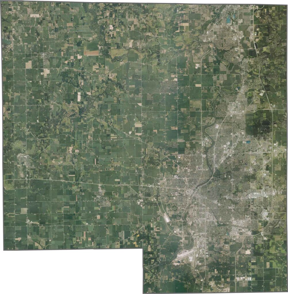
Rockford’s urban area dominates the northeast, surrounded by parks and industrial zones. Beyond the city, farmland takes over much of the landscape. However, Chicago Rockford International Airport creates a notable break in the otherwise rural surroundings.
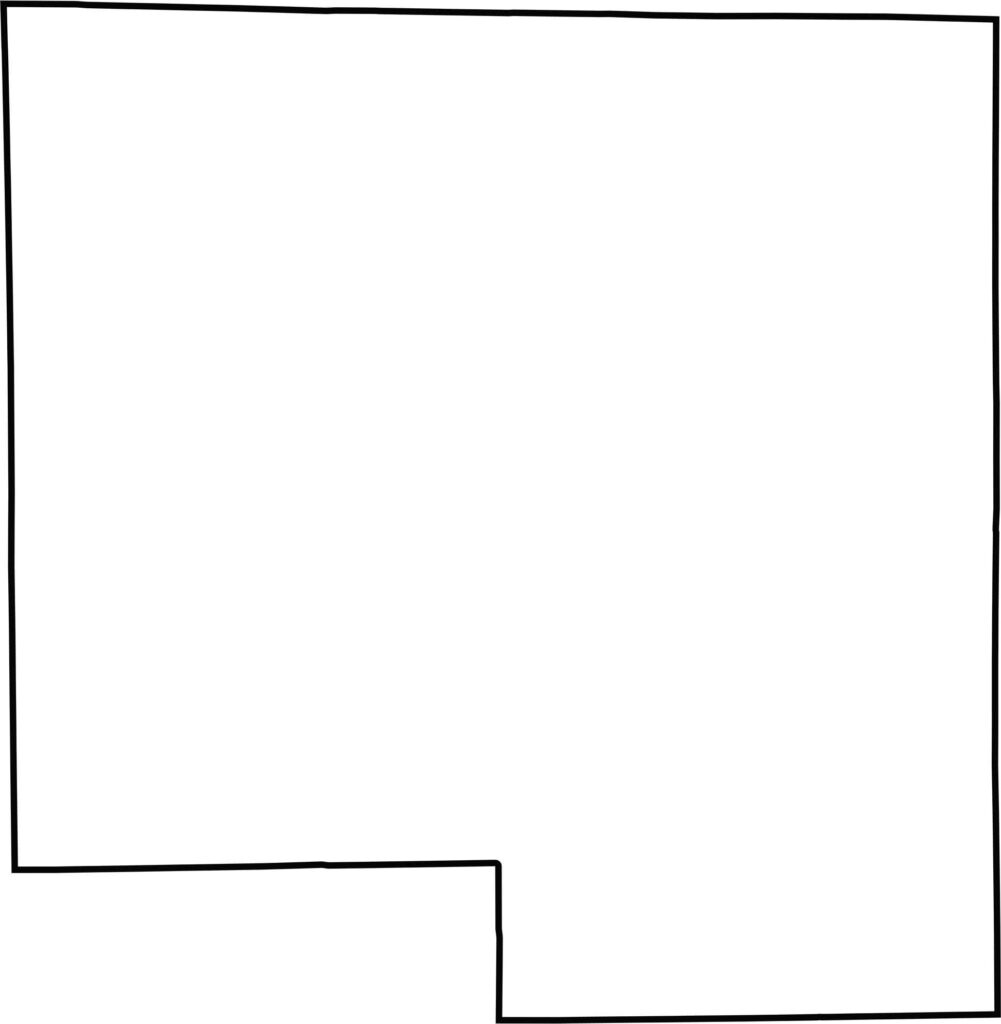
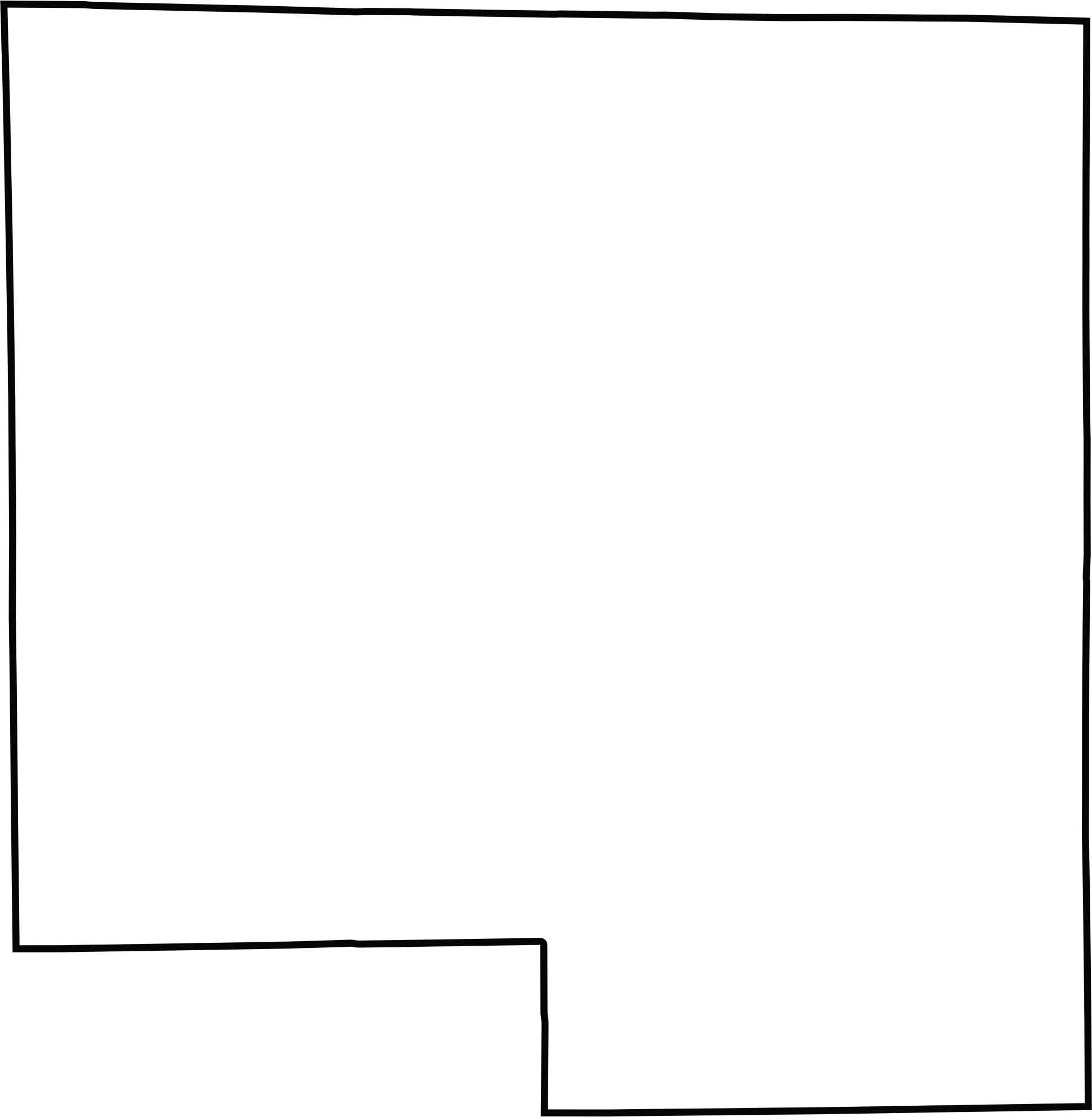
The county has a blocky shape without any major rivers forming its boundaries. Winnebago County is located in northern Illinois and shares a border with Wisconsin.







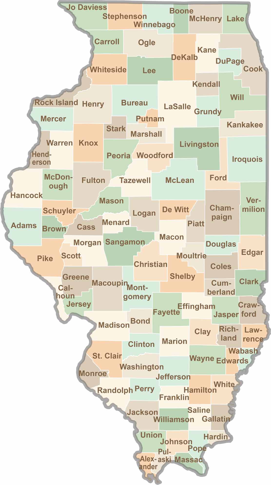
Ready to explore Illinois? Discover counties full of surprises, from the energy of Chicago and Cook County to the quiet beauty of Shawnee National Forest. Explore rich history, farmland, natural scenery, and small-town charm with our Illinois county map. Find your next adventure and discover all that Illinois has to offer.