
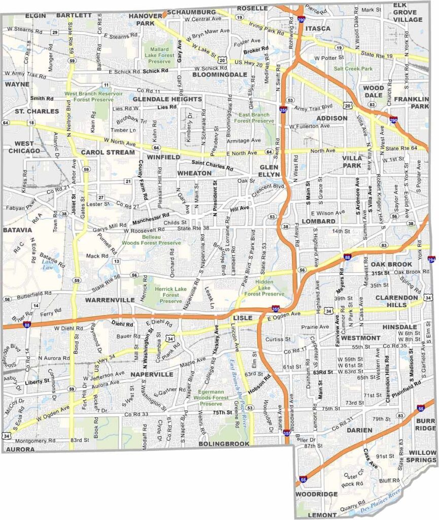
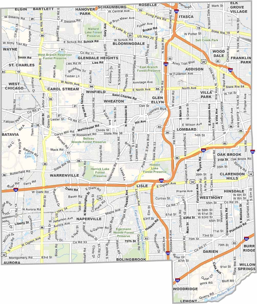
DuPage County is located just west of Chicago in northeastern Illinois. With more than 900,000 residents, the county combines bustling suburbs with peaceful communities and offers a diverse mix of urban and natural landscapes. From the towering office buildings of Naperville to the serene forest preserves in Wheaton, DuPage County has a little of everything.
The county is known for its top-rated schools, making it a popular choice for families looking to settle in the area. The Morton Arboretum in Lisle is a local gem, covering about 1,700 acres of trees and plants from around the world. Visitors can also explore Naper Settlement, an outdoor museum that preserves and showcases 19th-century history.
DuPage County is also a major economic hub, with several Fortune 500 companies maintaining operations in the area. Despite extensive development and suburban growth, the county continues to offer plenty of green spaces and recreational areas, giving residents and visitors opportunities to enjoy the outdoors on weekends.
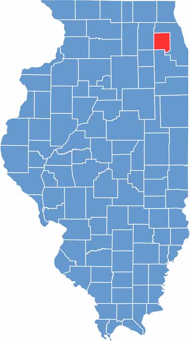
Cook County’s outline is somewhat jagged, particularly along the Lake Michigan shoreline. On a blank map, its shape appears as a collection of rough rectangular sections pieced together, creating a distinctive and irregular county boundary.
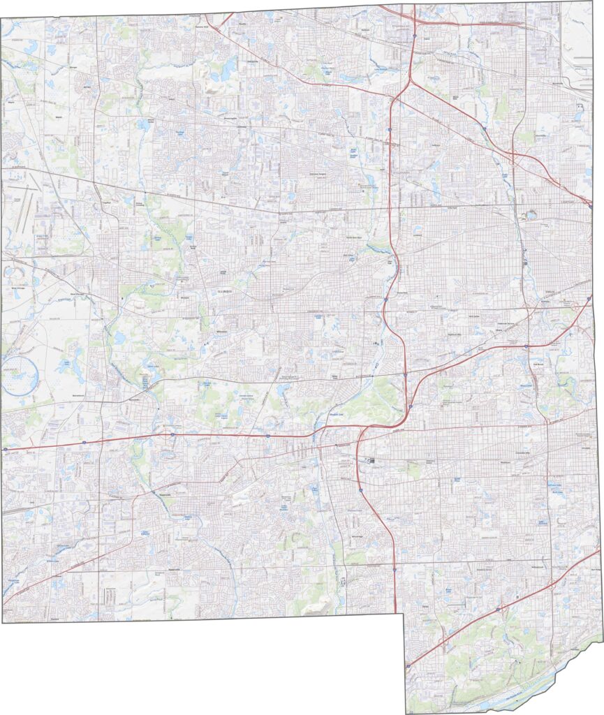
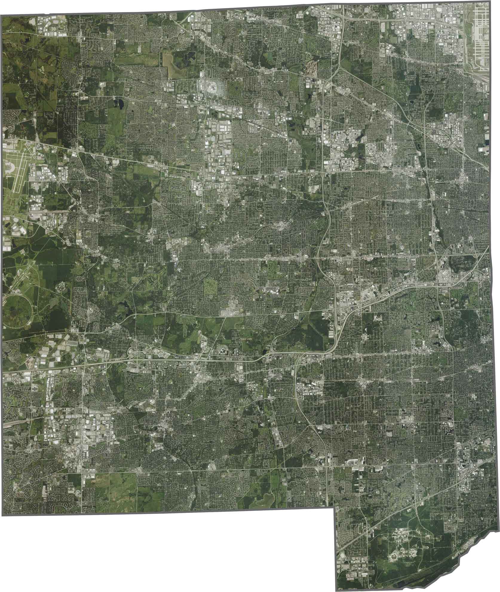
In our DuPage County satellite map, urban areas such as Naperville and Wheaton stand out with dense development and extensive neighborhoods. Parks and forest preserves provide patches of green space that break up the urban landscape. Major highways, including I-88 and I-355, are also prominent features visible across the county.
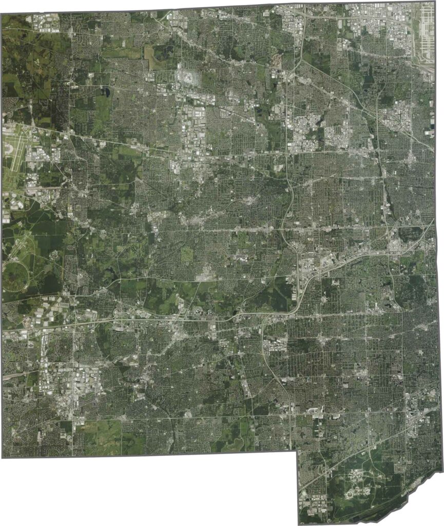
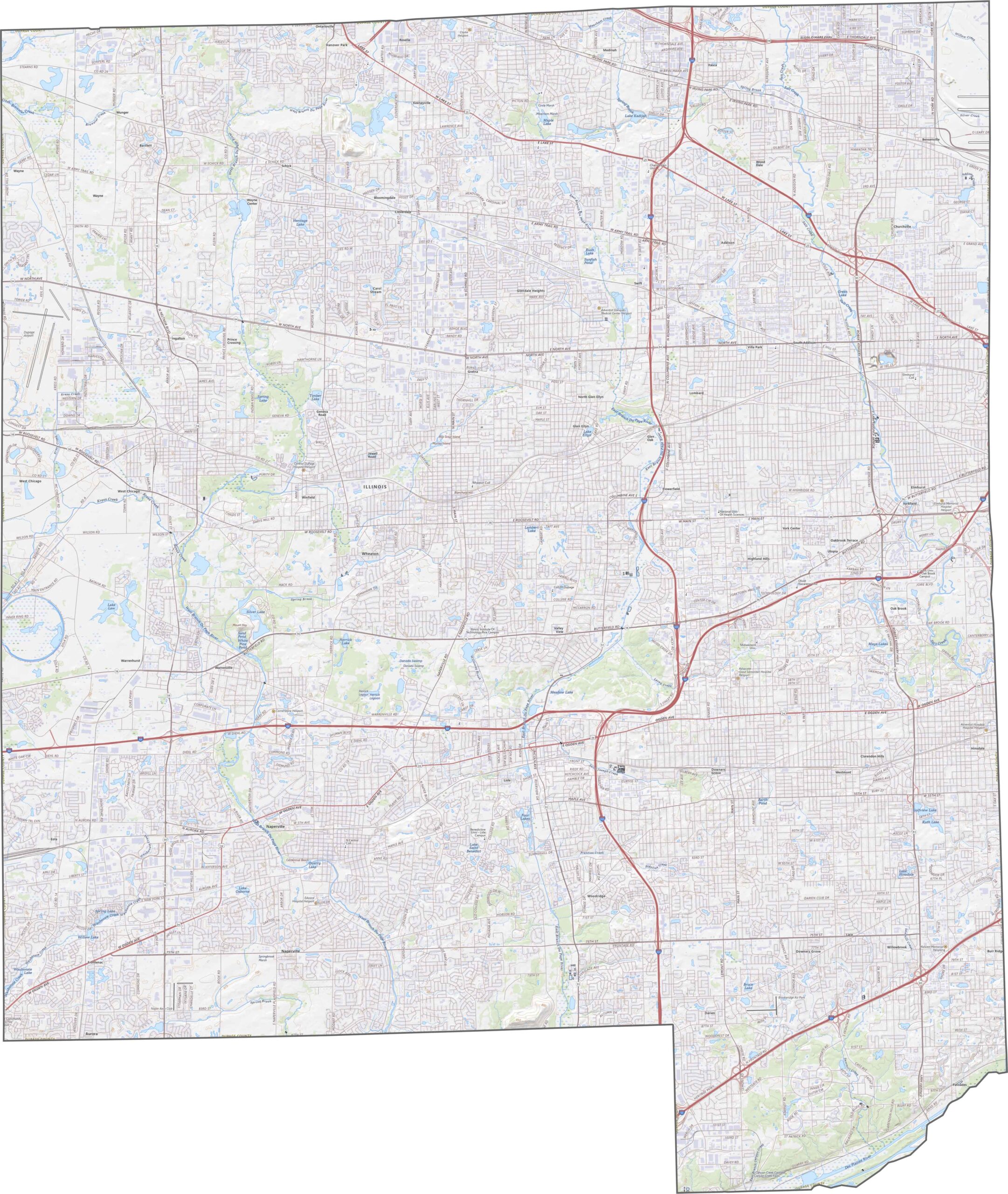
DuPage County has a roughly rectangular shape with a few slight irregularities along its boundaries. The West Branch of the DuPage River forms part of the county’s northern border. DuPage County does not share a border with another state.








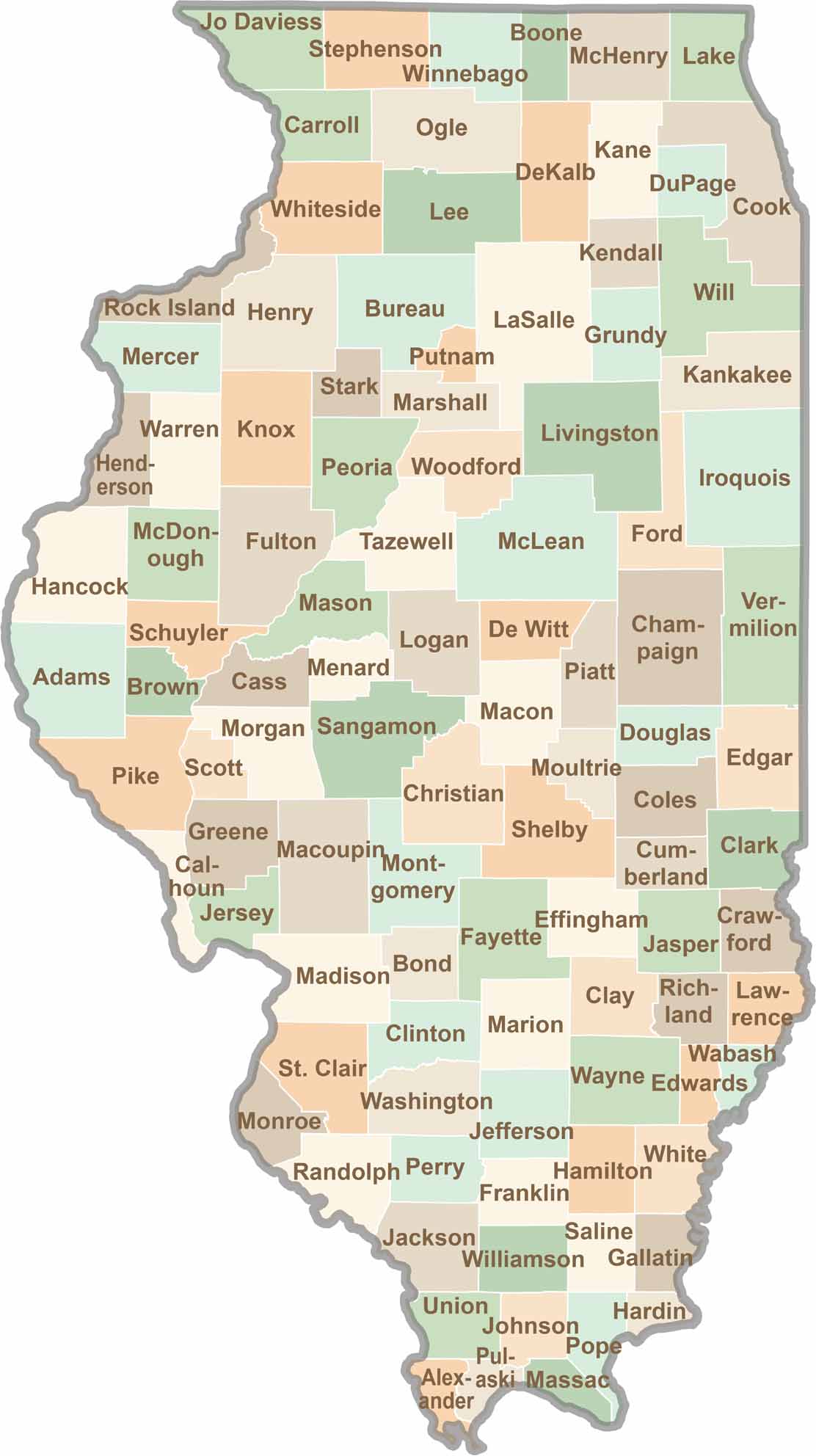
Ready to explore Illinois? Discover counties full of surprises, from the energy of Chicago and Cook County to the quiet beauty of Shawnee National Forest. Explore rich history, farmland, natural scenery, and small-town charm with our Illinois county map. Find your next adventure and discover all that Illinois has to offer.