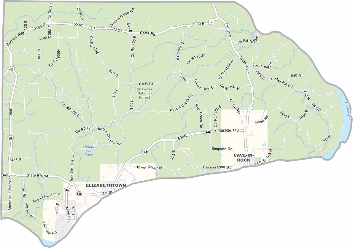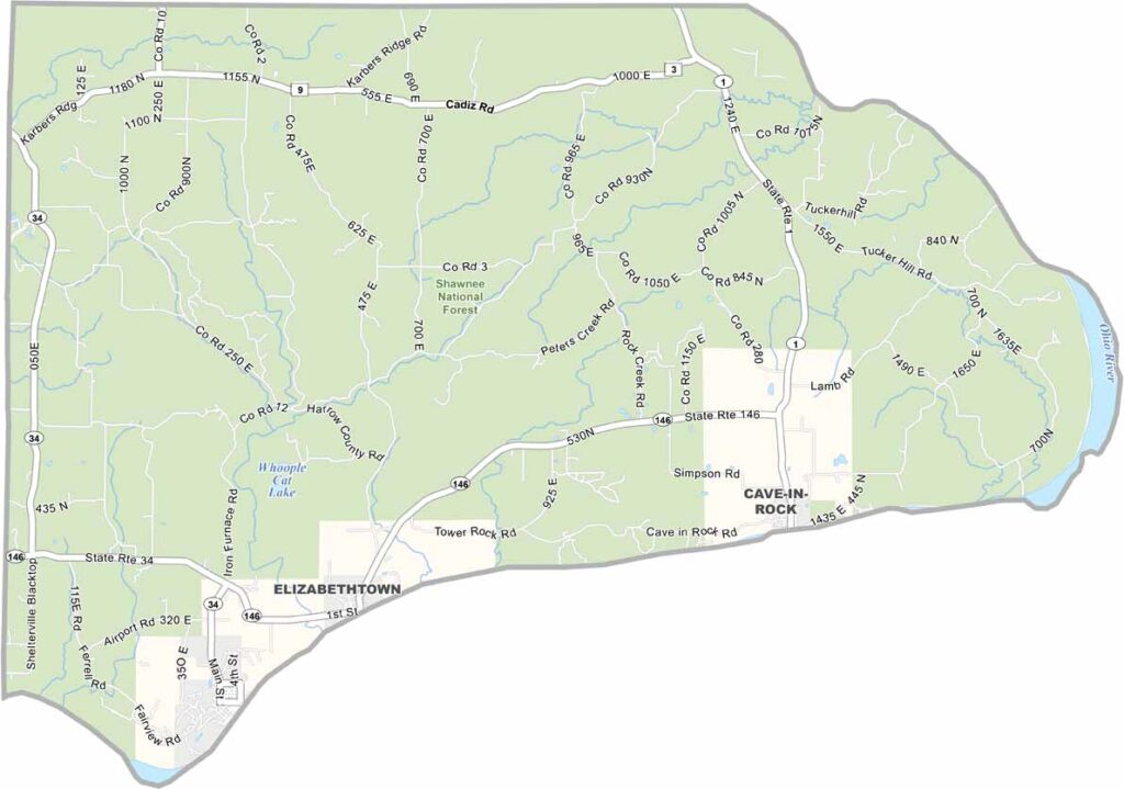
Hardin County, Illinois

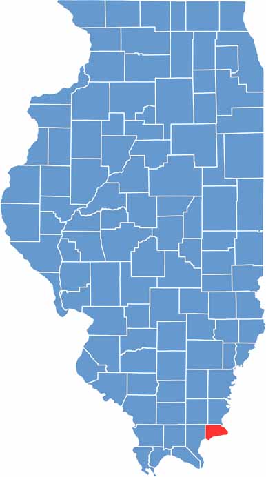
Hardin County is the second-smallest county in Illinois, tucked away in the southeastern corner of the state. Elizabethtown, the county seat, is a tiny river town on the Ohio River. The whole county has fewer than 4,000 people.

It’s mostly hills and forests, with a large portion of the Shawnee National Forest located here. Cave-in-Rock State Park is the big draw, with its unusual riverside cave. Farming is tougher in the hills, so many folks commute to bigger towns for work.

The ferry across the Ohio River to Kentucky feels like stepping back in time. Summer brings a trickle of tourists floating down the river. There’s more deer than people in some parts.

CategoryDetails
County NameHardin County
County SeatElizabethtown
EtymologyNamed after John Hardin, a soldier and pioneer
Cities, Towns, and CommunitiesElizabethtown, Rosiclare, Cave-In-Rock, Karbers Ridge, Rock Creek, and various other unincorporated communities.
Interstates and HighwaysIllinois Route 1, Illinois Route 34
FIPS Code17-069
Total Area (Land and Water)182 square miles (land: 178 sq mi, water: 4 sq mi)
Adjacent Counties (and Direction)Gallatin County (North), Union County, Kentucky (East), Crittenden County, Kentucky (South), Livingston County, Kentucky (Southwest), Pope County (West), Saline County (Northwest)
Time ZoneCentral Time Zone (CT)
PopulationApproximately 3,500
StateIllinois
Coordinates37.5176° N, 88.2911° W
Major LandmarksGarden of the Gods (Shawnee National Forest), Cave-In-Rock State Park, Illinois Iron Furnace Historical Site, Tower Rock Recreation Area
Scroll to Top