
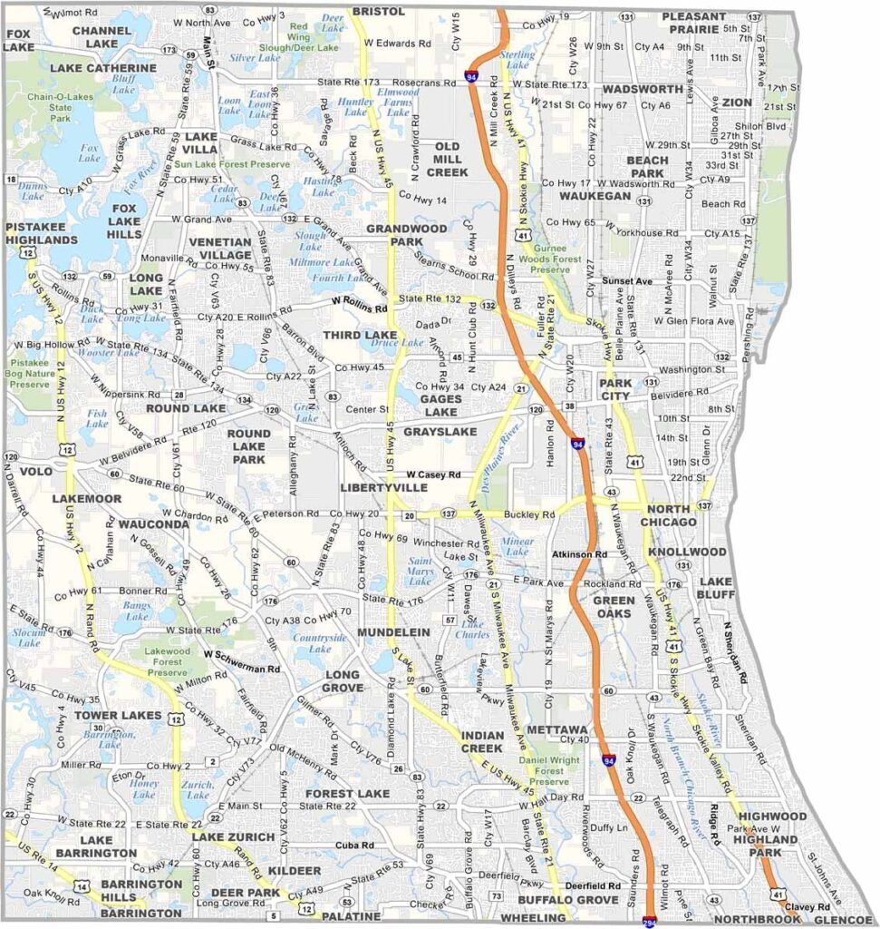
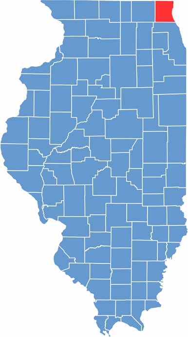
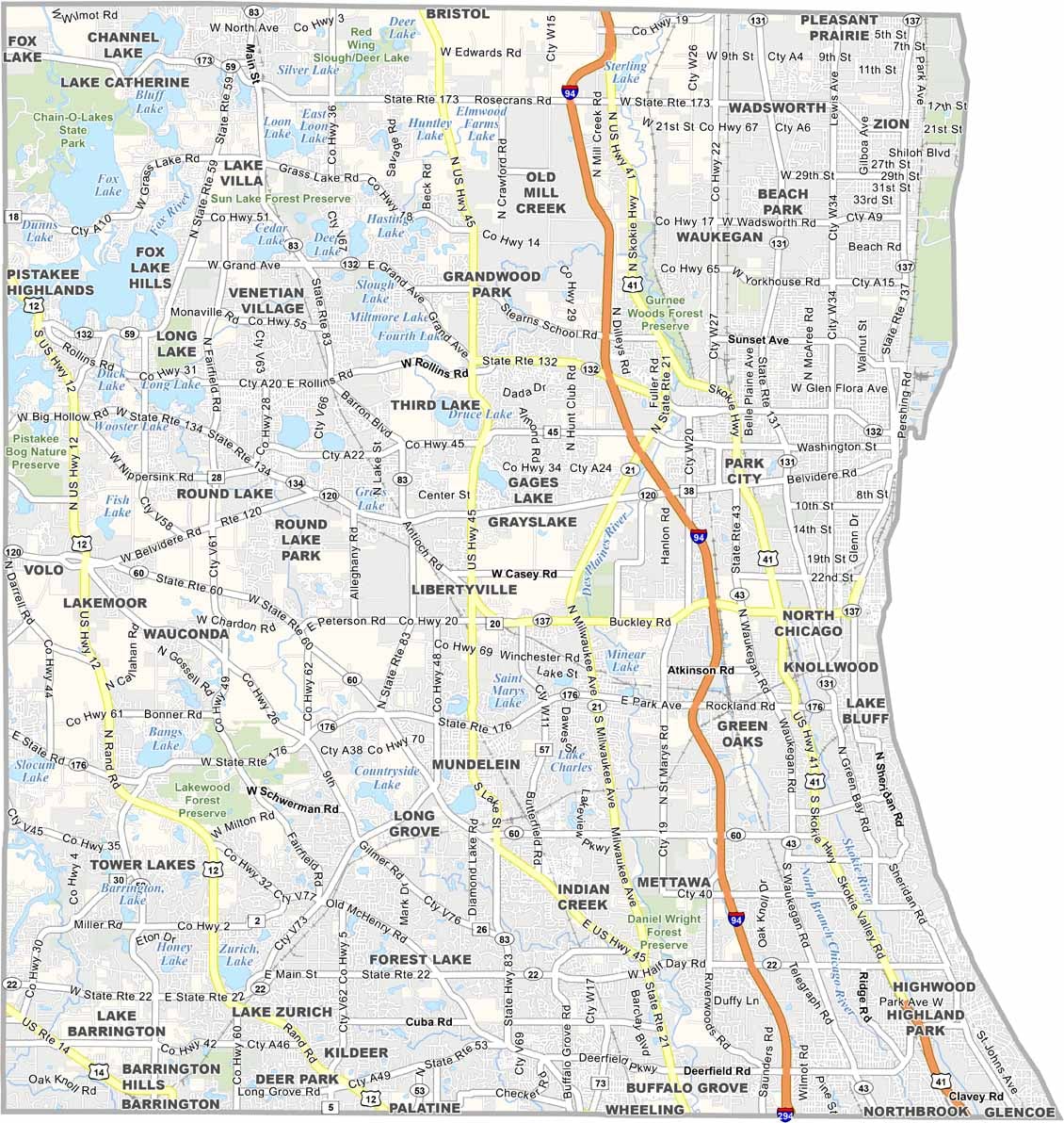
Lake County is a unique mix of ritzy North Shore suburbs and blue-collar towns. It stretches along Lake Michigan, just north of Chicago. Waukegan is the biggest city, a little rough around the edges but with some lakefront charm. Then you’ve got places like Lake Forest, where the houses look like museums.
Six Flags Great America is a major draw in the summer. You can hear the screams from the roller coasters for miles. Lake Michigan is also the star here, with some fantastic beaches if you know where to look. Traffic can be a nightmare, especially for commuters heading into the city.
The Naval Station brings in people from all over. There’s also more diversity than you might expect, especially in Waukegan and North Chicago. It’s expensive to live here, but many people say the schools are worth it. On a clear day, you can even see the Chicago skyline from the right spots along the shore.
While much of Winnebago County is relatively flat, the Rock River Valley creates rolling hills and bluffs, especially around Rockford. Small lakes and wetlands can also be found in the northern sections, while the majority of the county consists of open farmland.
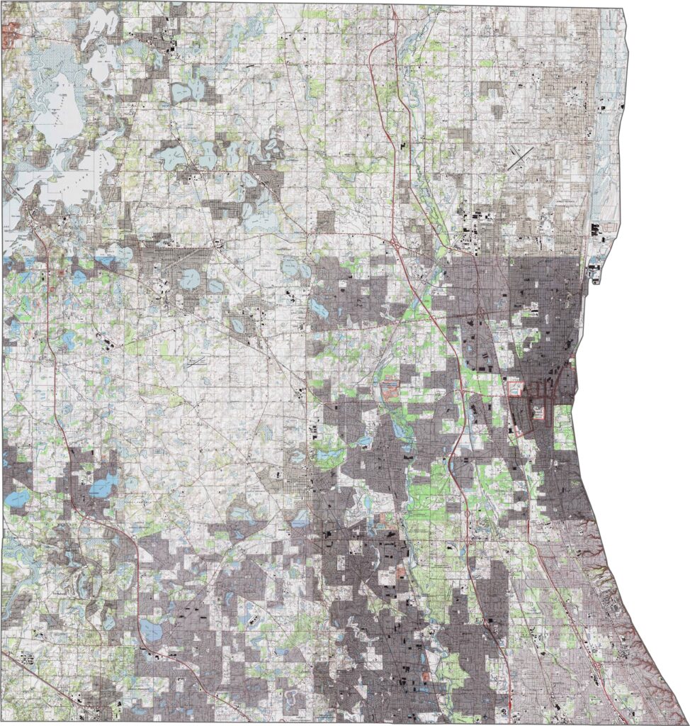
While much of Winnebago County is relatively flat, the Rock River Valley creates rolling hills and bluffs, especially around Rockford. Small lakes and wetlands can also be found in the northern sections, while the majority of the county consists of open farmland.
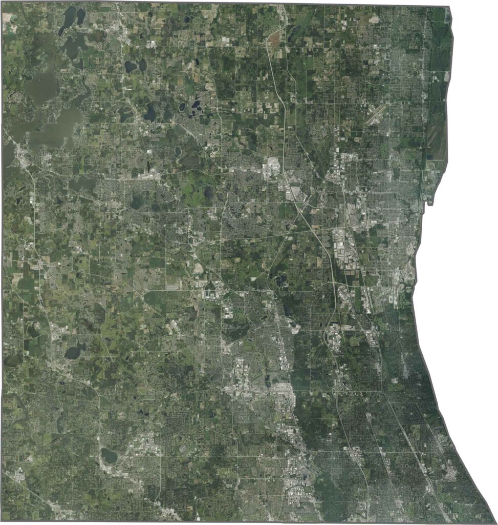
While much of Winnebago County is relatively flat, the Rock River Valley creates rolling hills and bluffs, especially around Rockford. Small lakes and wetlands can also be found in the northern sections, while the majority of the county consists of open farmland.







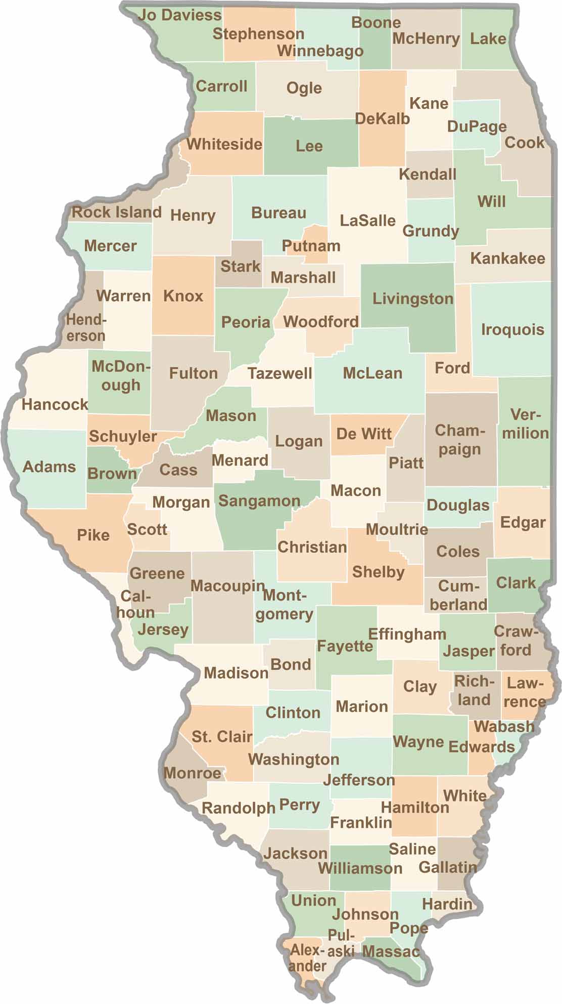
Ready to explore Illinois? Discover counties full of surprises, from the energy of Chicago and Cook County to the quiet beauty of Shawnee National Forest. Explore rich history, farmland, natural scenery, and small-town charm with our Illinois county map. Find your next adventure and discover all that Illinois has to offer.