
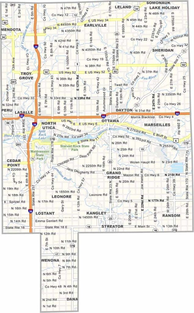
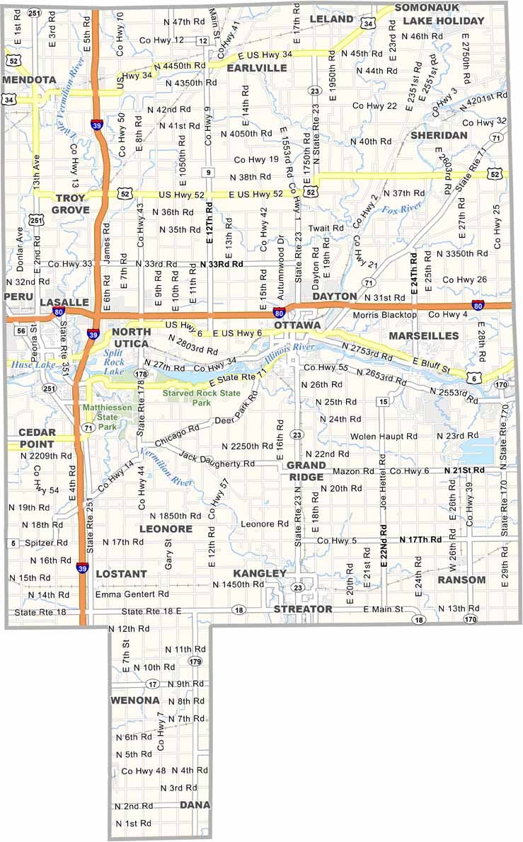
LaSalle County is a big stretch of land in north-central Illinois, where the Illinois River cuts through. Ottawa is the county seat, while Peru and LaSalle are also among the larger communities. Starved Rock State Park brings in plenty of hikers.
It’s old coal country, still trying to find its footing these days. You’ll find a mix of industry and farmland here, with corn and soybean fields stretching for miles and occasional wind farms breaking up the landscape.
You’ll find some great old bars along the river, the kind of places that haven’t changed in 50 years. Buffalo Rock State Park is also a nice option if you want to avoid the crowds at Starved Rock. On a good day, you can spot bald eagles soaring over the river.
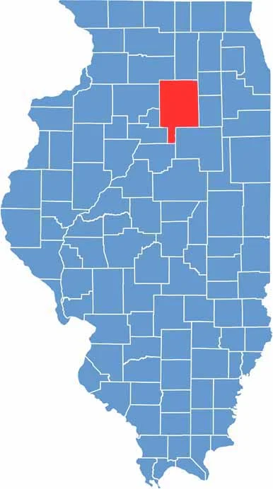
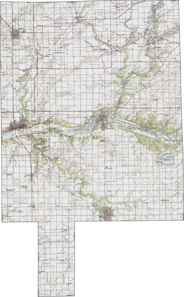
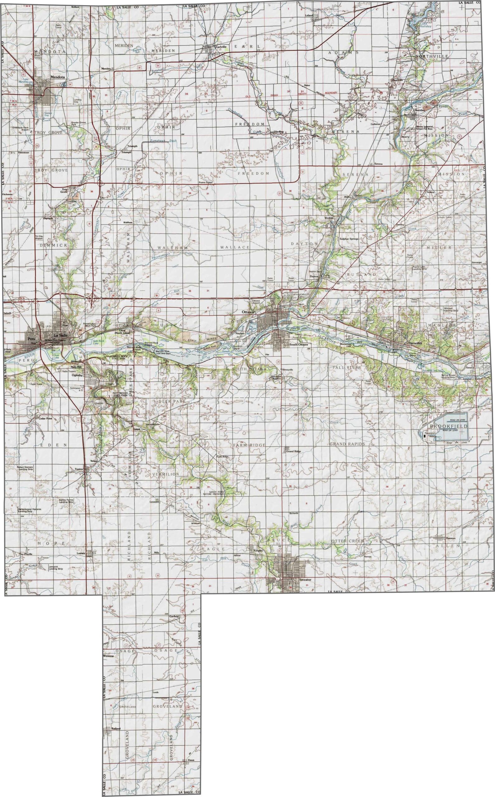
Stretching from the Illinois River valley to rolling farmlands, LaSalle County features bluffs and cliffs along its western edge. For a closer look at its varied terrain, try our interactive zoom tool with the map below.
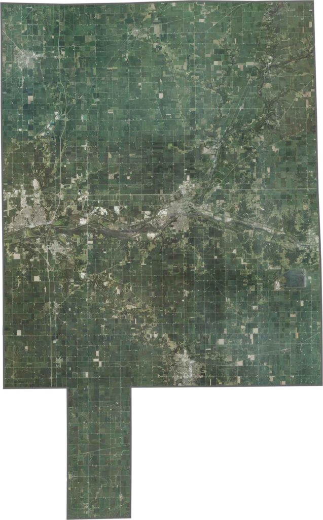
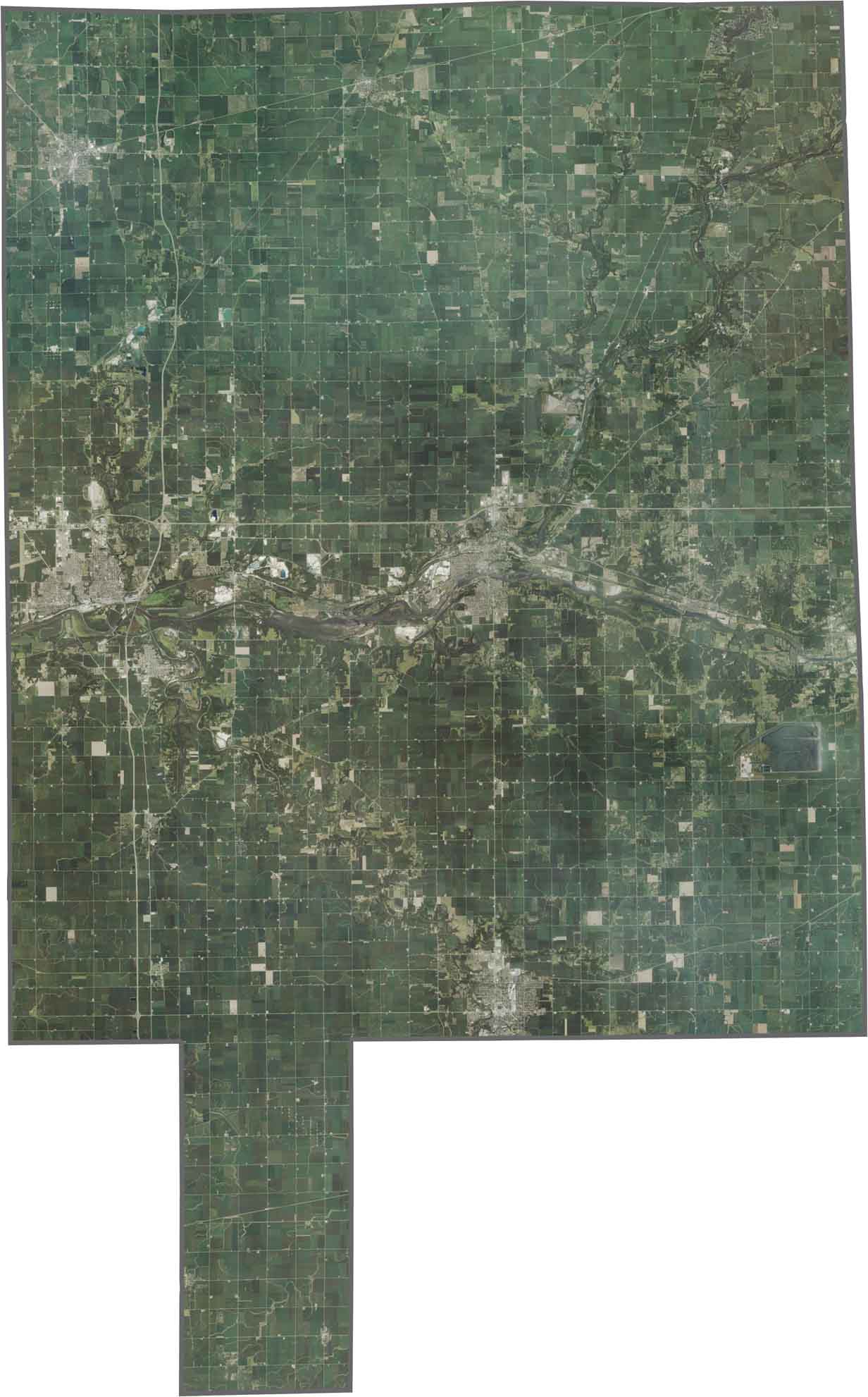
From above, the Illinois River stands out as it winds through agricultural fields and urban areas. Starved Rock State Park appears as a dense green patch along the riverbanks, while cities like Ottawa and Peru cluster near major highway intersections.
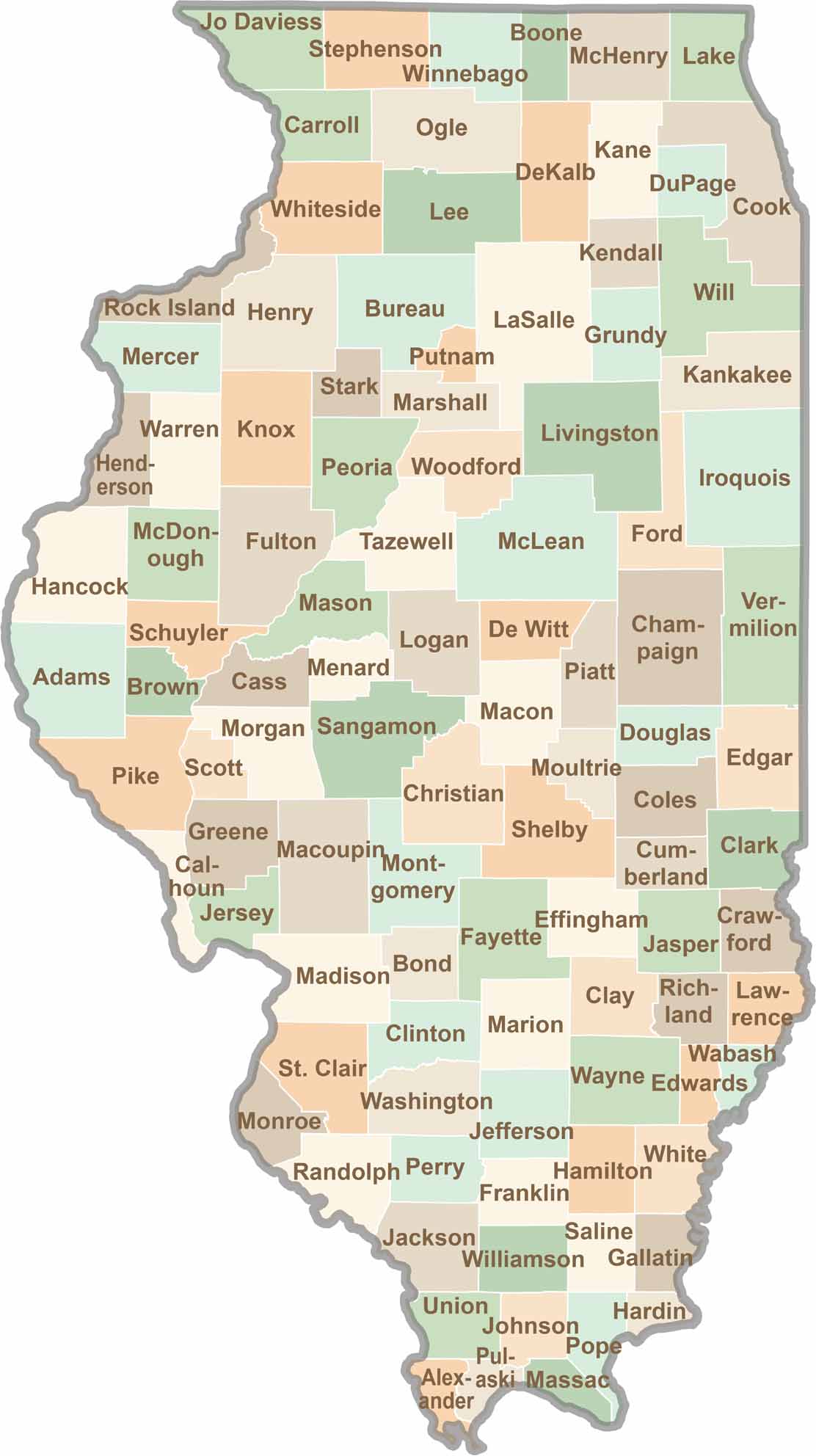
The county has an elongated, irregular shape, with the southern tip stretching outward. It doesn’t touch another state line and is situated in northern Illinois.








Ready to explore Illinois? Discover counties full of surprises, from the energy of Chicago and Cook County to the quiet beauty of Shawnee National Forest. Explore rich history, farmland, natural scenery, and small-town charm with our Illinois county map. Find your next adventure and discover all that Illinois has to offer.